Map of North America from the Best Authorities
Book Description
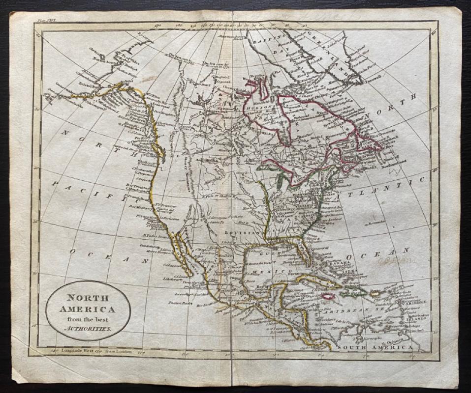
Map of North America from the Best Authorities Engraved by John Russell and published by Rivington, Wilkie and others, London 1818 for an Atlas to Guthrie’s Geographical Grammar. On paper size 25 by 21 cm. Uncoloured. Apart from Louisiana most of the area west of the Mississippi and Missouri remains uncharted apart from the occasional river, though many features all along the Pacific coast from Alaska down to Panama are identified. The United States and Canada have some areas that bear the unusual names of the period (East Florida in the US, New South Wales in Canada). Guthrie’s Atlas was first published in the late 18th century and the London engraver and printer John Russell provided the maps of the 1818 edition. The map has a piano key style border with latitude and longitude along each edge. Has been folded. Good to VG condition.
Author
Russell
Date
1818
Publisher
Rivington, Wilkie and others
Illustrator
Russell
Condition
Good to VG
Other books
If you liked the book you've just seen, you might be interested in other books from the same dealer below.
Maps, plans and views from Elphinstone’s Account o...
Elphinstone
Eyre and Spottiswoode
£525.00
Offered by Arthur Hook
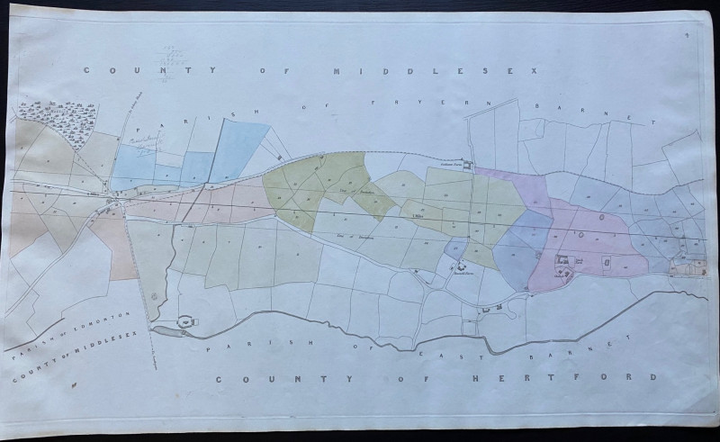
Map of Edmonton and Hollick Wood to Fryern Barnet...
Rennie
Arrowsmith
£35.00
Offered by Arthur Hook
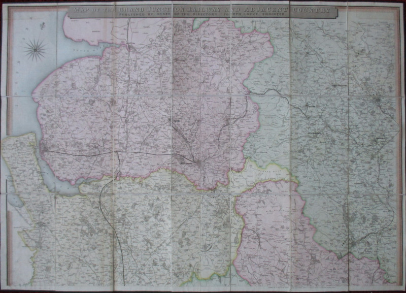
Map of the Grand Junction Railway and Adjacent Cou...
Cheffins
Cheffins
£350.00
Offered by Arthur Hook
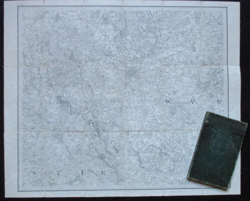
Early Ordnance Survey Map Birmingham Area circa 18...
Colby
Ordnance Survey
£100.00
Offered by Arthur Hook
Friends of the PBFA
For £10 get free entry to our fairs, updates from the PBFA and more.
Please email info@pbfa.org for more information