Ordnance Survey Map City of London

Book Description
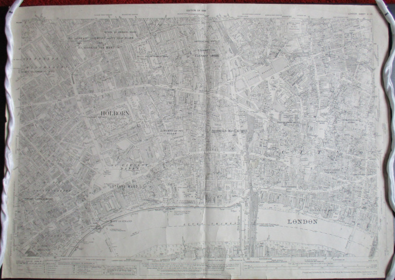
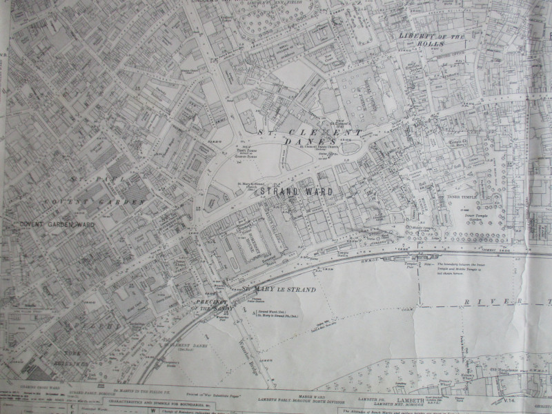
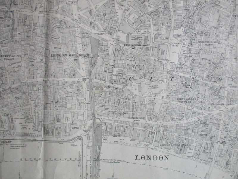
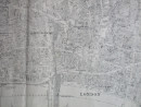
OS Sheet VII 65 St. Paul's and the City. Includes an area from Ludgate Circus to the Post Office, Guildhall and Queens Street. With Ludgate Hill, Holborn Viaduct and St. Paul's stations. Published by the Ordnance Survey, Southampton 1921. Scale 25 inches to the mile. Size approximately 100 by 70 cm. On stiff paper. Shows all streets by name, and contains a wealth of detail on businesses, schools, pubs, entertainments and transport. Rather dulled but sound, otherwise Good condition.
Author
Ordnance Survey
Date
1921
Publisher
Ordnance Survey
Condition
Good
Other books
If you liked the book you've just seen, you might be interested in other books from the same dealer below.
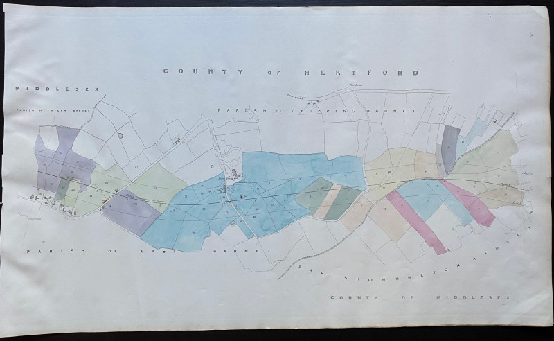
Map of Fryern Barnet to the tunnel near Chipping B...
Rennie
Arrowsmith
£35.00
Offered by Arthur Hook
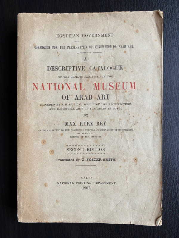
A Descriptive Catalogue of the Objects Exhibited i...
Max Herz
National Printing Department, Cairo
£115.00
Offered by Arthur Hook
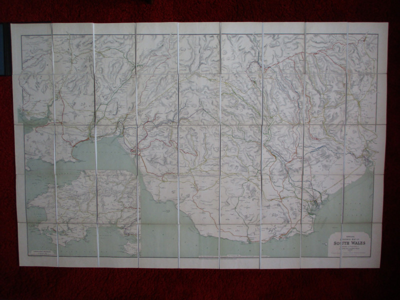
Railway Clearing House Map of South Wales 1926
Emslie
Railway Clearing House
£125.00
Offered by Arthur Hook
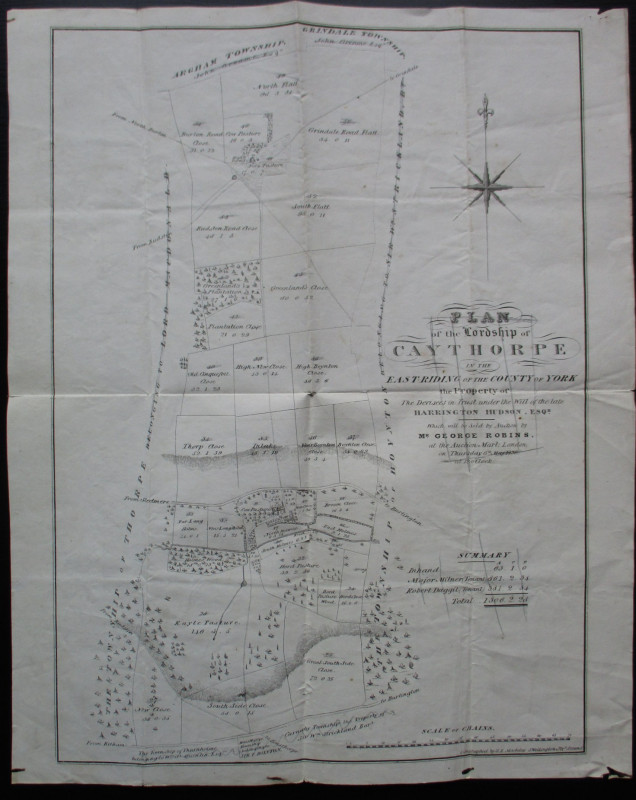
Plan of the Lordship of Caythorpe in the East Ridi...
Madeley
Madeley
Reserved
Offered by Arthur Hook
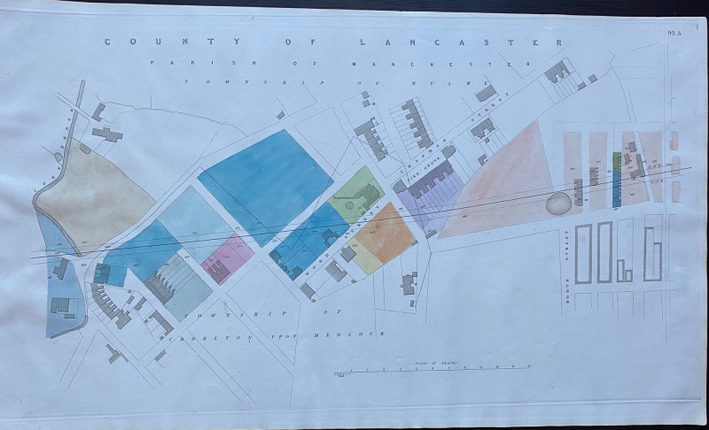
Enlarged plan of Central Manchester with the Penit...
Rennie
Arrowsmith
£70.00
Offered by Arthur Hook
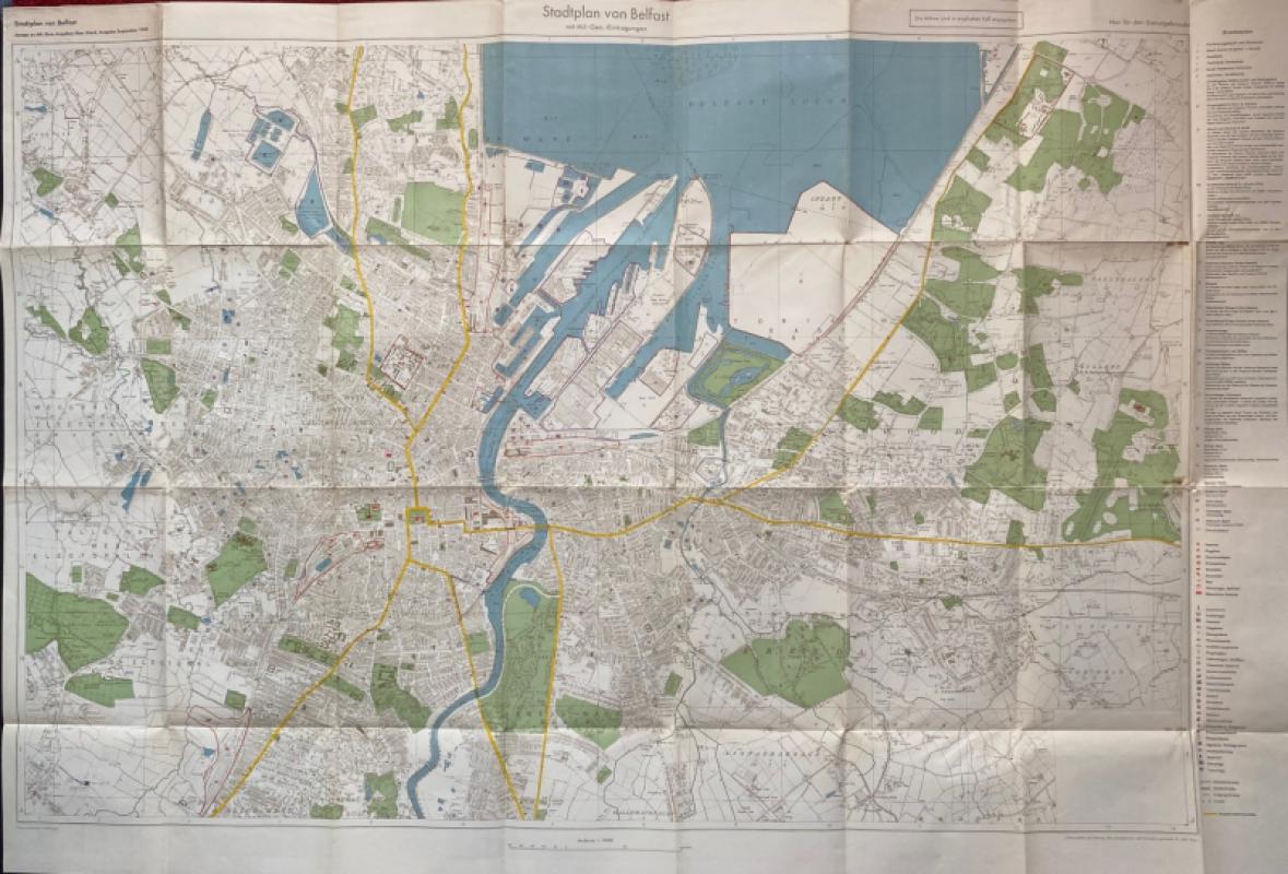
City Map of Belfast (Stadtplan von Belfast) 1940
German General Staff,
German General Staff,
£135.00
Offered by Arthur Hook
Friends of the PBFA
For £10 get free entry to our fairs, updates from the PBFA and more.
Please email info@pbfa.org for more information