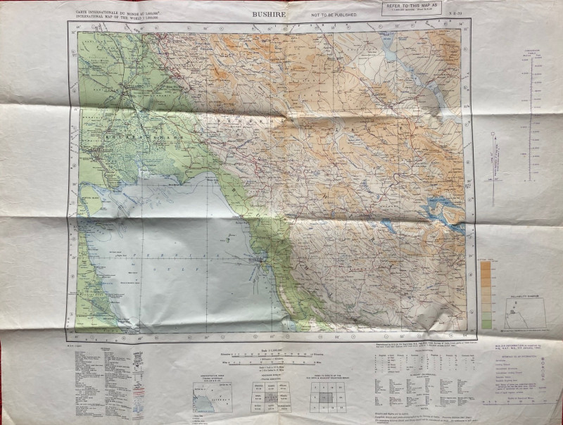
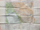
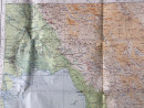
Map of Bushire (Persian Gulf) 1942

Book Description
Map of Bushire (Persian Gulf). Published by the British War Office 1942, with information supplied by HQ RAF Middle East, January 1942. On paper size 84 by 63 cm. Scale 1:1,000,000. Coded M DR 1/880. Colour. With a key to military features including aerodromes, landing grounds, unconfirmed aerodromes and landing grounds, seaplane stations and seaplane sighting areas. Another key provides information on over 20 features such as roads, railways, oil wells and pipelines. There is a glossary or terms used in the map in both Arabic and Iranian. Marked “Not to be Published”.Includes Kuwait, Shiraz and parts of Iraq and Iran. Good to VG condition. Has been folded.
Author
British War Office
Date
1942
Publisher
British War Office
Condition
Good to VG
Other books
If you liked the book you've just seen, you might be interested in other books from the same dealer below.
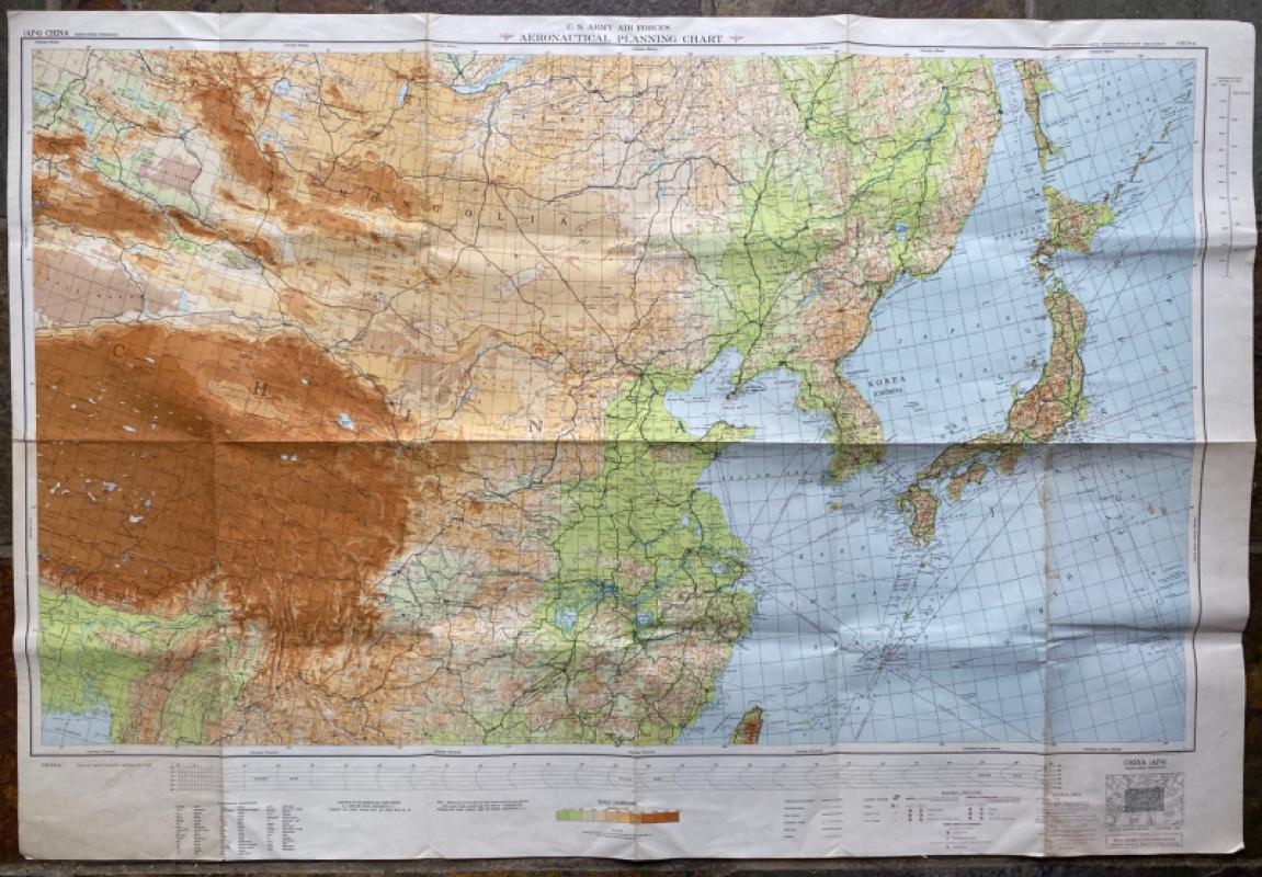
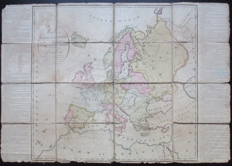
US Army Air Forces Map of China
Aeronautical Chart Service USAAF
Aeronautical Chart Service USAAF
£75.00
Offered by Arthur Hook
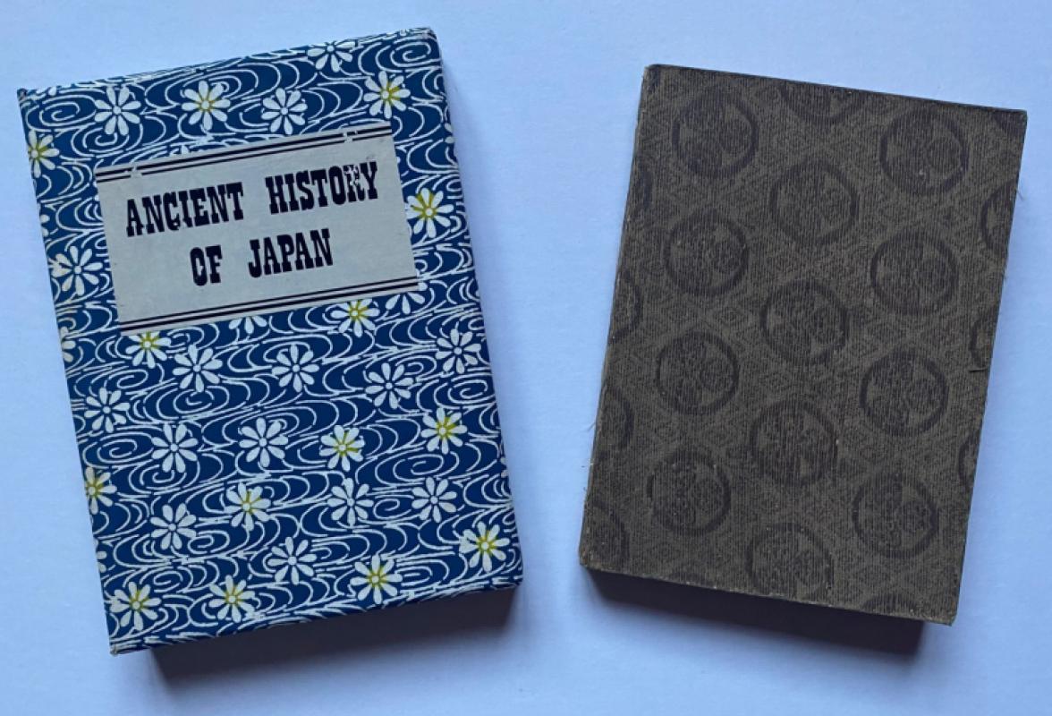
Epitome of the Ancient History of Japan with illus...
McLeod
Rising Sun Office
£200.00
Offered by Arthur Hook
Map of Bushire (Persian Gulf) 1942
British War Office
British War Office
£75.00
Offered by Arthur Hook
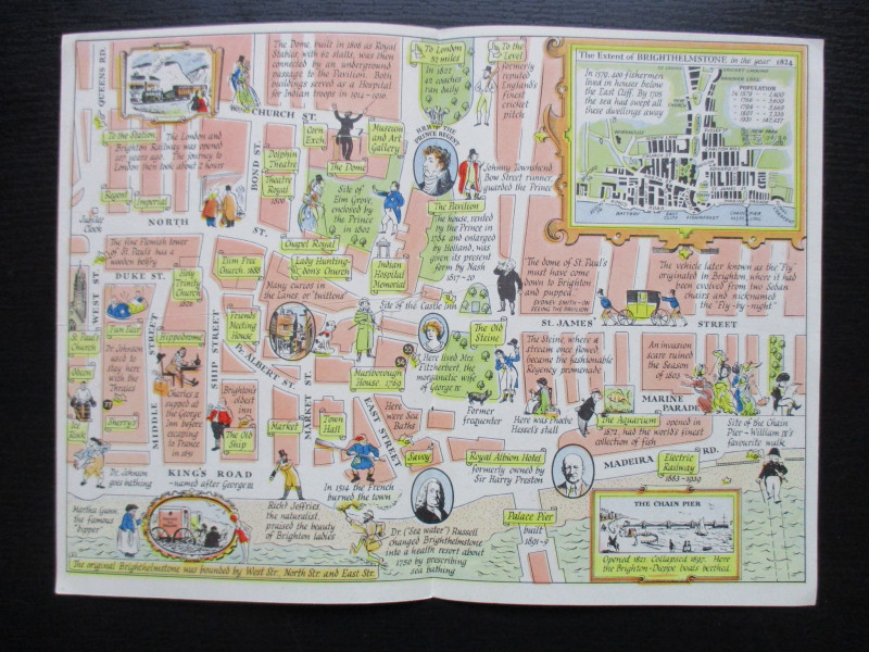
A Map of Brighton “The Queen of Watering Places” f...
Sayer
Strand Magazine
£40.00
Offered by Arthur Hook
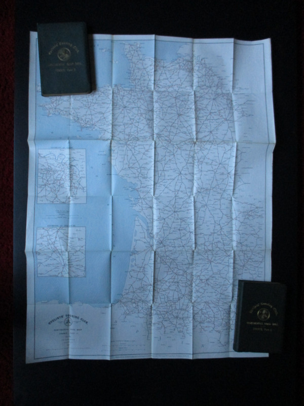
CTC Cycling Handbooks & Maps of France 1900
Anon
CTC & Andriveau Goujon
£50.00
Offered by Arthur Hook
Friends of the PBFA
For £10 get free entry to our fairs, updates from the PBFA and more.
Please email info@pbfa.org for more information