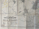
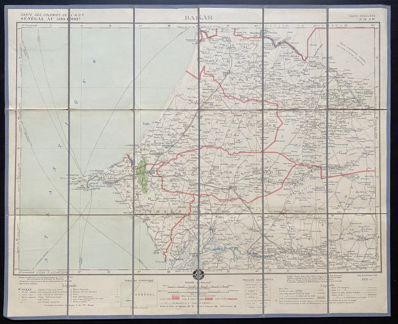
Map of the Coalfields of the South Midlands circa 1930

Book Description
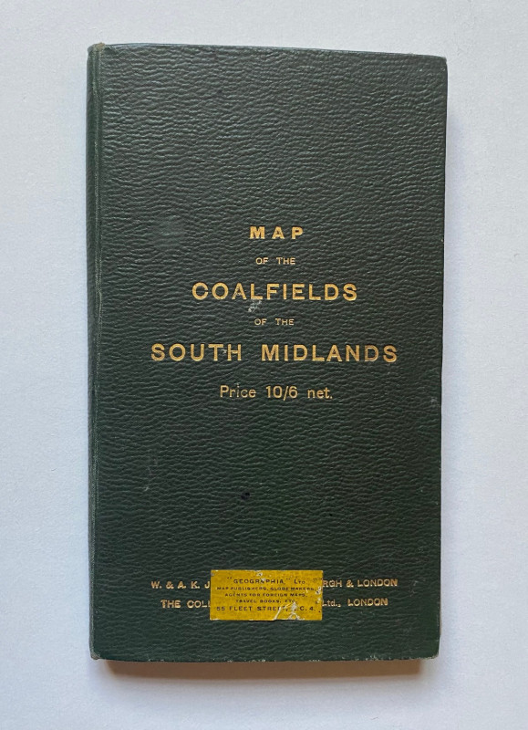
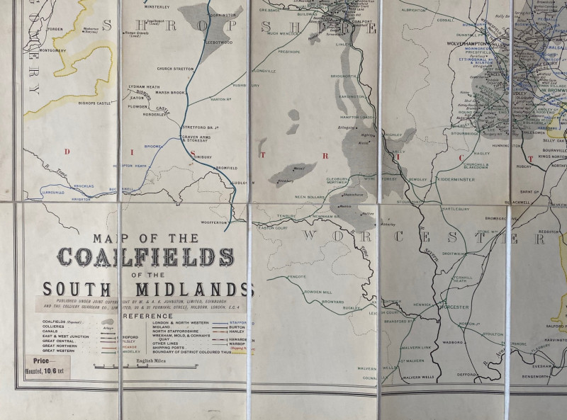
Map of the Coalfields of the South Midlands published by Johnston, Edinburgh circa 1930. On folding linen in 32 sections, size 91 by 80 cm. Colour. Scale two and a half inches to the mile. Covers an area from Flint across to the Chesterfield region in the north and from Worcestershire to Northamptonshire in the south. A detailed map which appears to show all pits and railways. A key gives information on coalfields, collieries, canals, ports, boundaries and the railways of the various companies. Folds into stiff boards. VG condition.
Author
Johnston
Date
1930
Publisher
Johnston
Condition
VG
Other books
If you liked the book you've just seen, you might be interested in other books from the same dealer below.
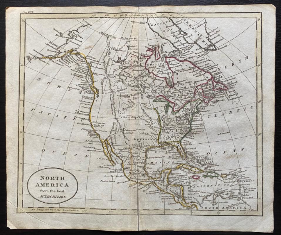
Map of North America from the Best Authorities
Russell
Rivington, Wilkie and others
£100.00
Offered by Arthur Hook
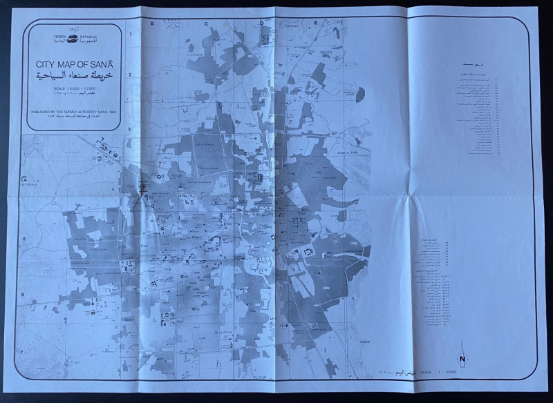
Republic of Yemen City Map of Sana
Survey Authority Sana
Survey Authority Sana
£110.00
Offered by Arthur Hook
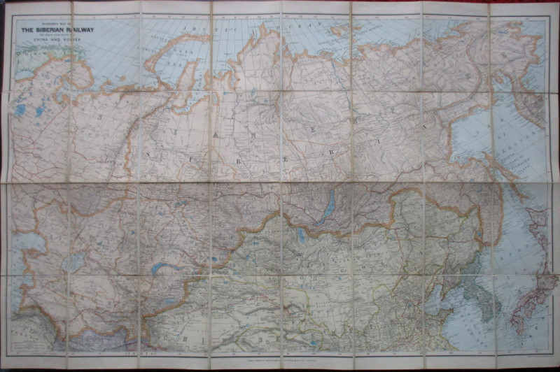
Stanford’s Map of the Siberian Railway: The Great...
Stanford
Stanford
£595.00
Offered by Arthur Hook
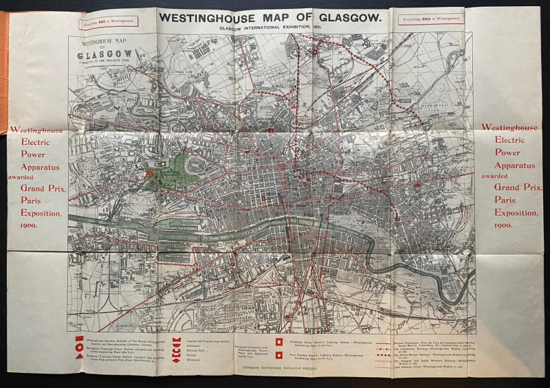
The Westinghouse Map of Glasgow: Glasgow Internati...
Anon
Westinghouse
£100.00
Offered by Arthur Hook

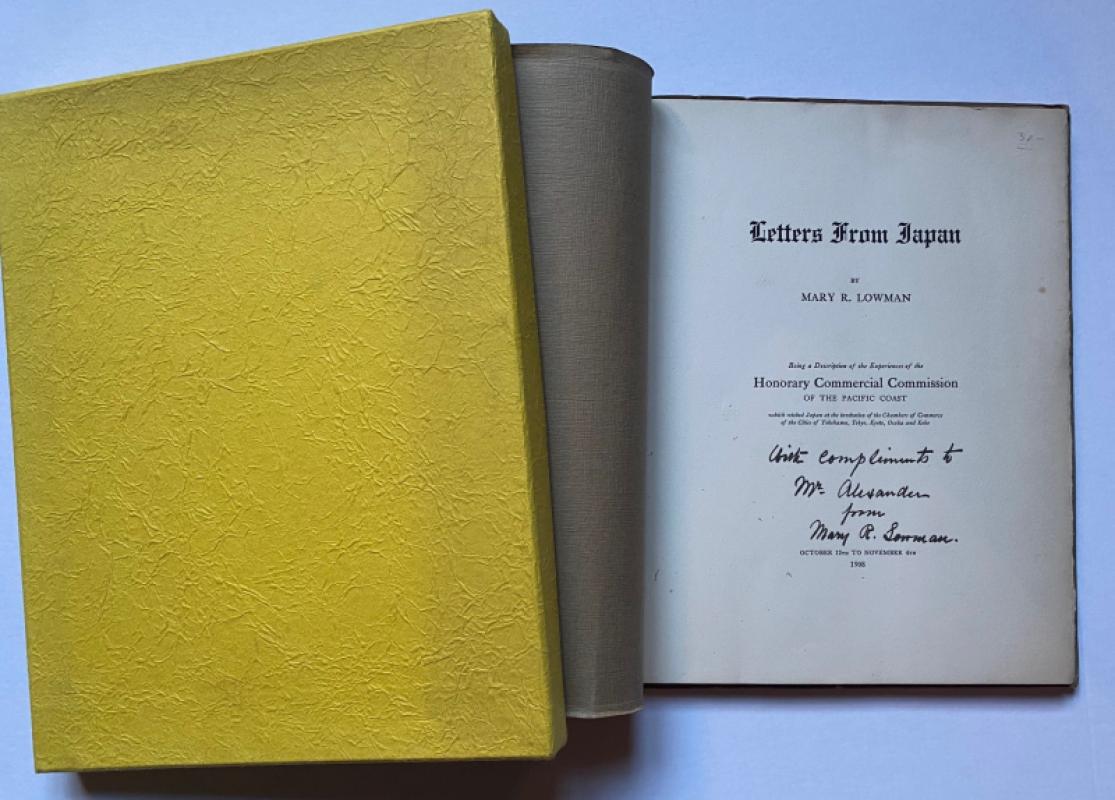
Letters from Japan Being a Description of the Expe...
Lowman
Lowman and Hanford
£175.00
Offered by Arthur Hook
Friends of the PBFA
For £10 get free entry to our fairs, updates from the PBFA and more.
Please email info@pbfa.org for more information