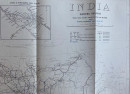
Map of India Showing Railways 1908

Book Description
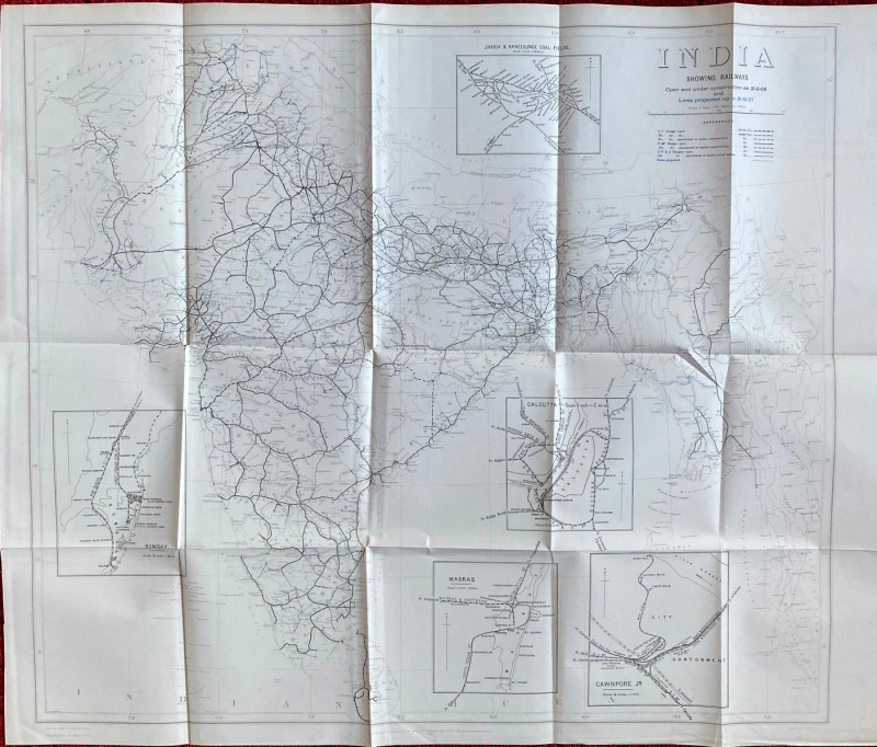
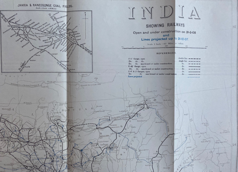
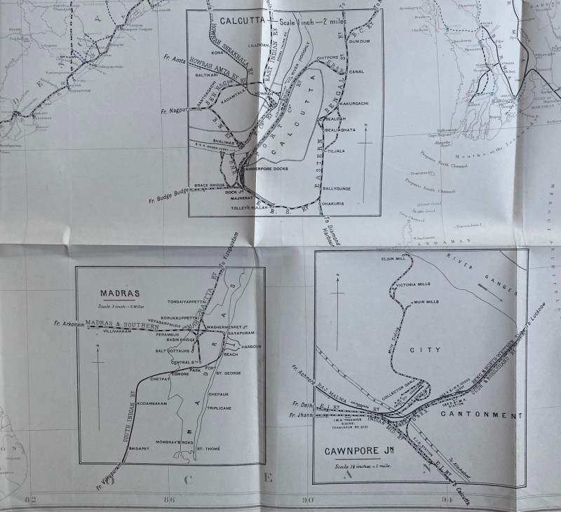
Map of India Showing Railways published by the Survey of India, Calcutta 1908. On paper size 80 by 68 cm. Scale 80 miles to the inch. Shows railways open and under construction on 31st March 1908 and lines projected up to 31st December 1907. Includes a key to the various gauges. With 5 inset maps, of Bombay, Madras, Calcutta, Cawnpore and the coalfields of Jherriah and Raneegunge. Some colour. Published under the direction of Col. S G Barrard. Uncoloured. Includes Burma.
Author
Barrard
Date
1908
Publisher
Survey of India
Condition
VG
Other books
If you liked the book you've just seen, you might be interested in other books from the same dealer below.
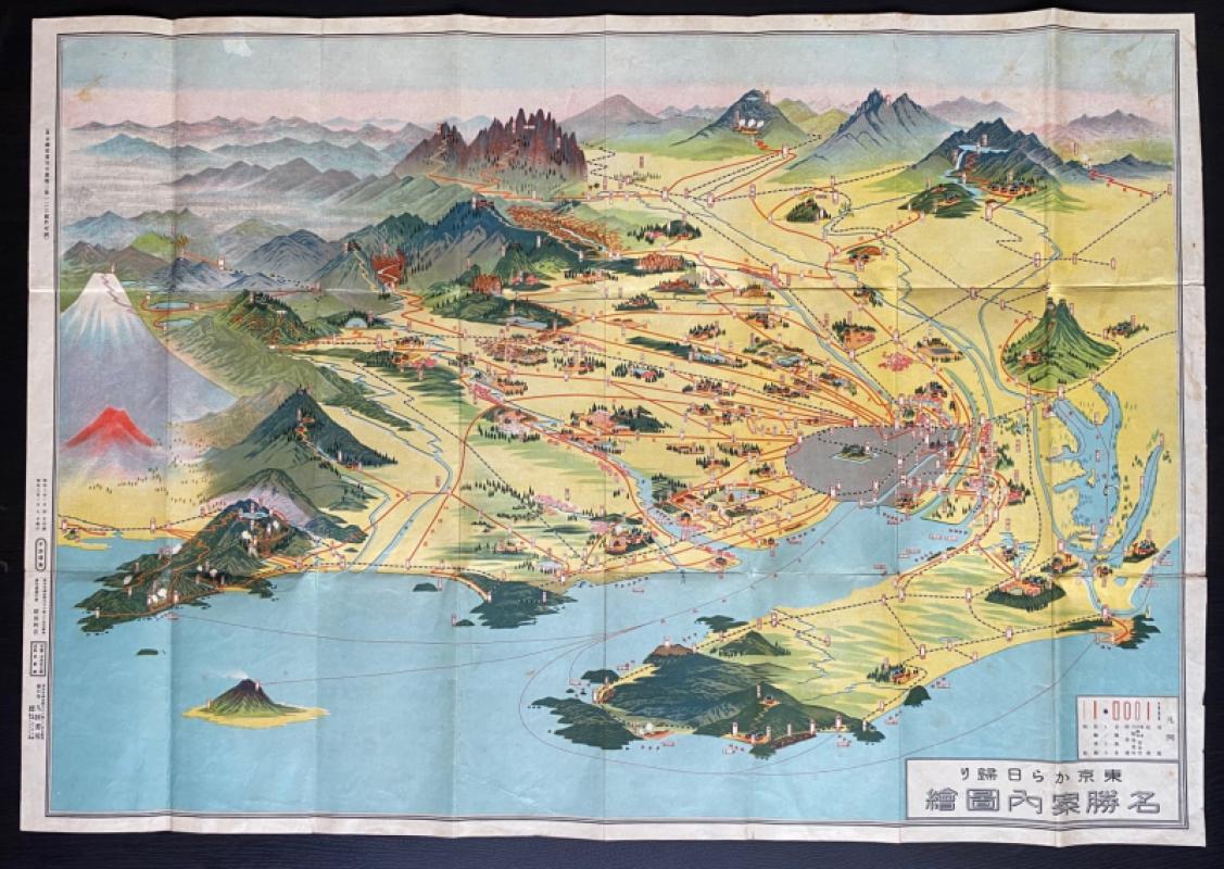
Aeriel map of Tokyo and its Environs 1928
Toshiyoshi Inagaki
Kudan Shubo
£95.00
Offered by Arthur Hook
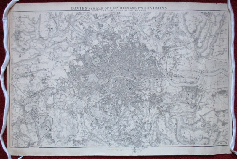
Davies’ New Map of London and its Environs showing...
Davies
Stanford
£175.00
Offered by Arthur Hook
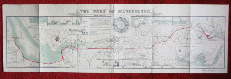
Map of the Port of Manchester & Ship Canal 1902
Falkner
Manchester Ship Canal
£125.00
Offered by Arthur Hook
Enlarged plan of Central Manchester with the Penit...
Rennie
Arrowsmith
£70.00
Offered by Arthur Hook
Early Ordnance Survey Map Birmingham Area circa 18...
Colby
Ordnance Survey
£100.00
Offered by Arthur Hook
Friends of the PBFA
For £10 get free entry to our fairs, updates from the PBFA and more.
Please email info@pbfa.org for more information