The Railway Companion Atlas of England and Wales 1852


Book Description
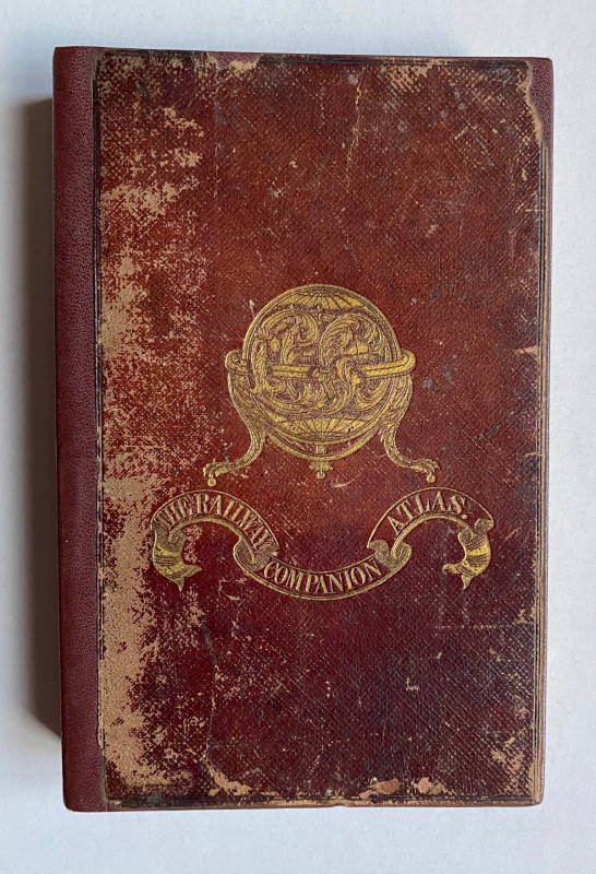
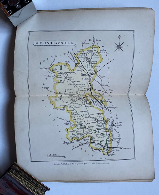
The Railway Companion Atlas of England and Wales with all the railways, the coach roads, the cities, towns, parks and gentlemens seats, preceded by general maps of England and North & South Wales revised and corrected to the present time and published by Henry Collins, London 1852. In stiff decorated boards size 19 by 12 cm. Contains 42 double-page county maps and two of Wales. Hand-coloured. All edges gilt. Each of the maps has a scale and a compass rose. The atlas shows the expansion of the railway system county by county. Lacks the map of England and index. Rebound with a new leather spine. Some fading to the boards and occasional age toning. Binding and maps in Good to VG condition
Author
Anon
Date
1852
Binding
Hardback
Publisher
Collins
Condition
Good to VG
Pages
88
Other books
If you liked the book you've just seen, you might be interested in other books from the same dealer below.
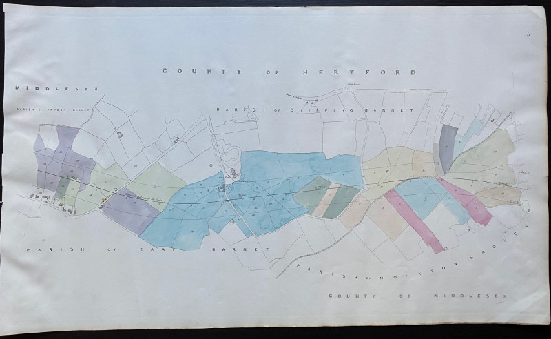
Map of Fryern Barnet to the tunnel near Chipping B...
Rennie
Arrowsmith
£35.00
Offered by Arthur Hook
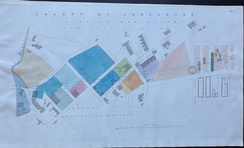
Enlarged plan of Central Manchester with the Penit...
Rennie
Arrowsmith
£70.00
Offered by Arthur Hook


The London Almanack for the Year of Christ 1841
Anon
The London Company of Stationers
£125.00
Offered by Arthur Hook
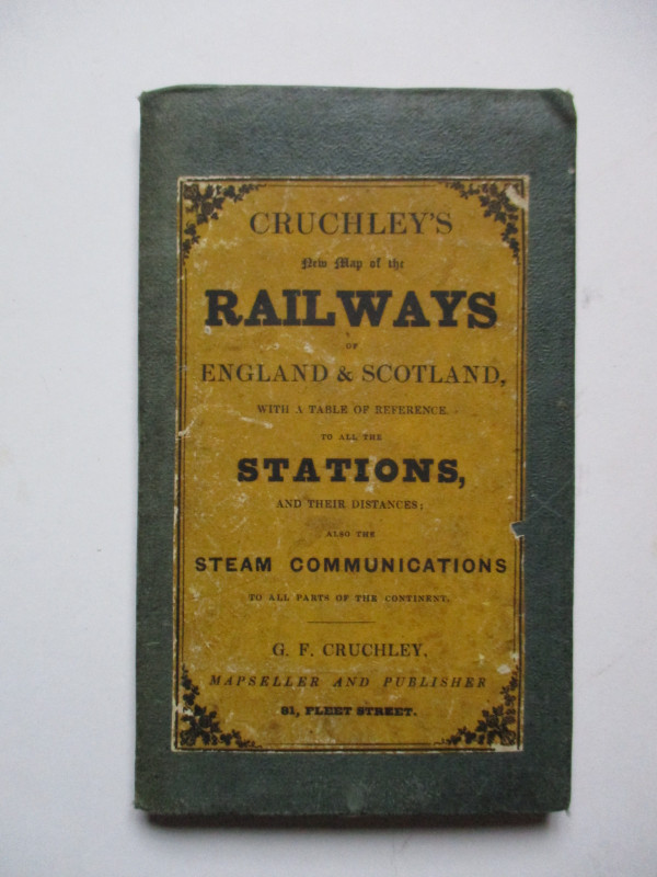
Cruchley’s New Map of the Railways of England and...
Cruchley
Cruchley
£85.00
Offered by Arthur Hook
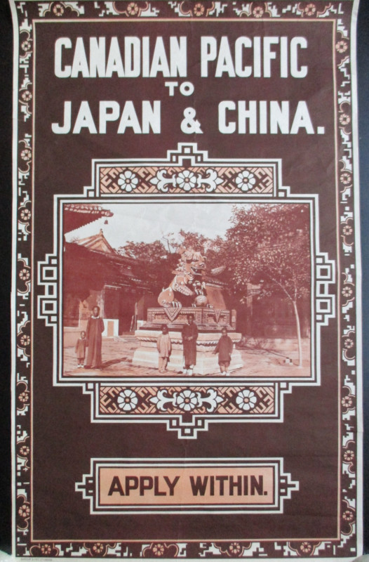
Canadian Pacific Poster circa 1930 Canadian Pacifi...
Canadian Pacific
Canadian Pacific
£500.00
Offered by Arthur Hook
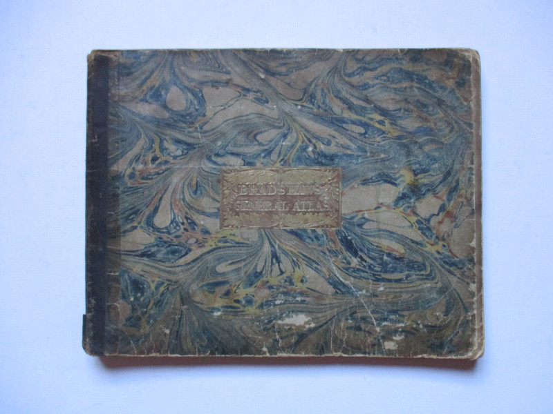
Bradshaw’s General Atlas with the latest Discoveri...
Bradshaw
Bradshaw
£325.00
Offered by Arthur Hook
Friends of the PBFA
For £10 get free entry to our fairs, updates from the PBFA and more.
Please email info@pbfa.org for more information