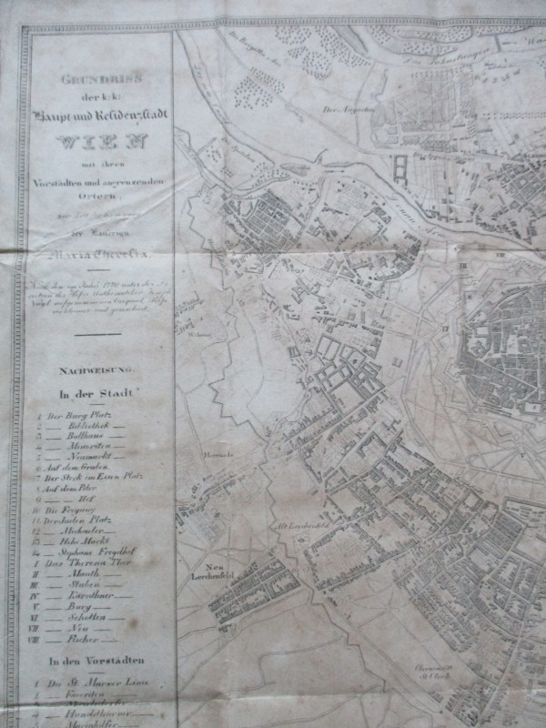
Early Ordnance Survey Map Birmingham Area circa 1840


Book Description
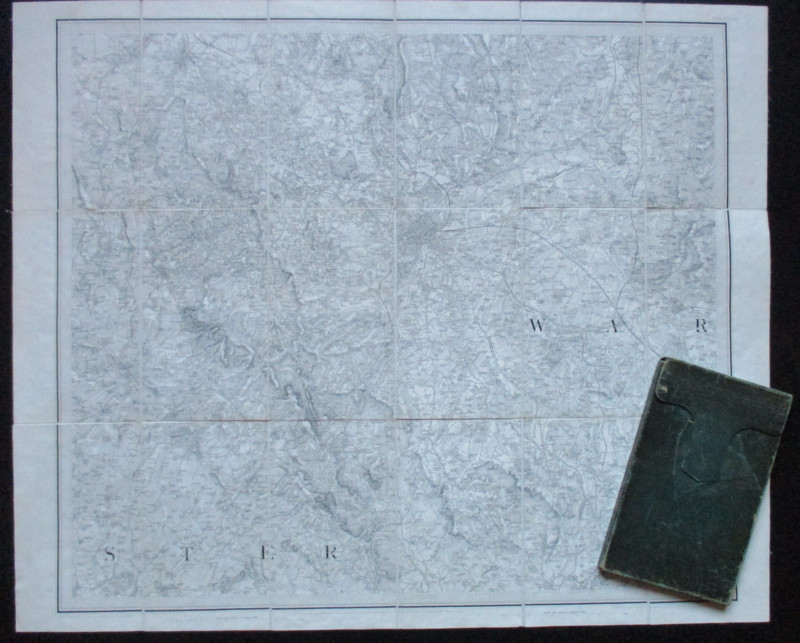
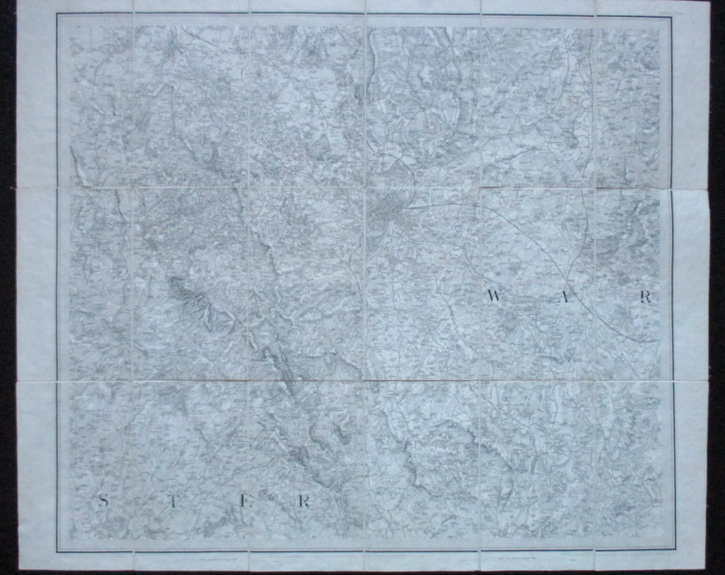
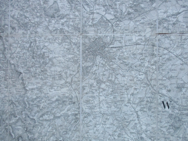
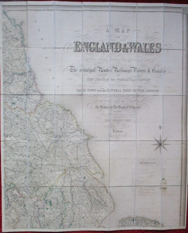
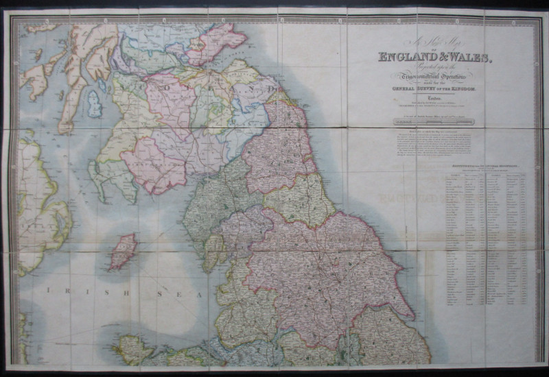
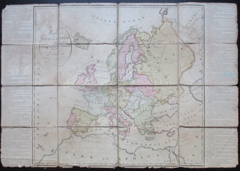
Ordnance Survey Map Sheet LXII SE (60 SE), published by Lt. Colonel Colby for the Ordnance Survey, London 1831. Birmingham and the West Midlands, with parts of Warwickshire and Worcestershire. On folding linen in 18 sections, size 80 by 67 cm. Scale one inch to the mile. An edition from around 1840, showing the London and Birmingham and the Grand Junction railways. Folds into original leather slipcase. Some wear to case but map in VG condition.
Author
Colby
Date
1840
Binding
Map on linen in slipcase
Publisher
Ordnance Survey
Illustrator
Colby
Condition
VG
Other books
If you liked the book you've just seen, you might be interested in other books from the same dealer below.
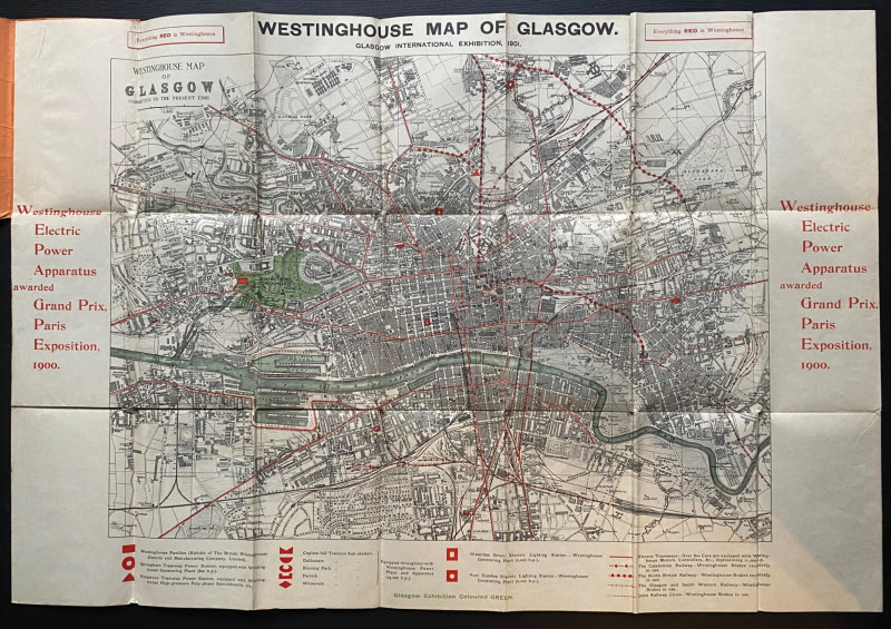
The Westinghouse Map of Glasgow: Glasgow Internati...
Anon
Westinghouse
£100.00
Offered by Arthur Hook
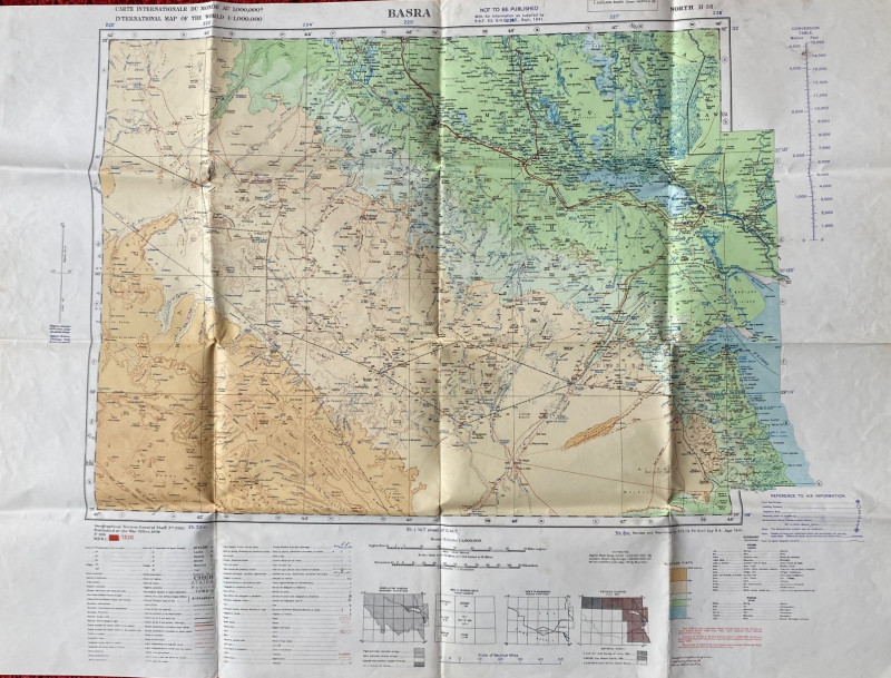
British Army Map of Basra 1941
British Army
British Army 512 Forward Survey Company, Royal Engineers
£85.00
Offered by Arthur Hook
Friends of the PBFA
For £10 get free entry to our fairs, updates from the PBFA and more.
Please email info@pbfa.org for more information