Map of Hong Kong 1941
Book Description
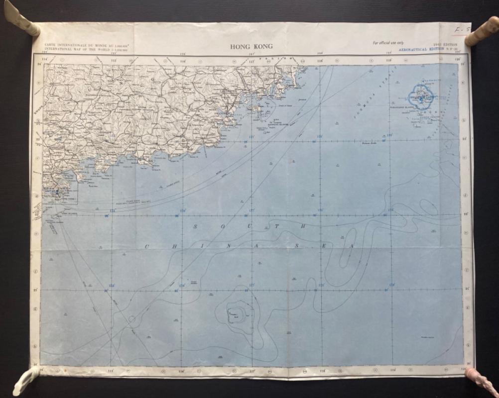
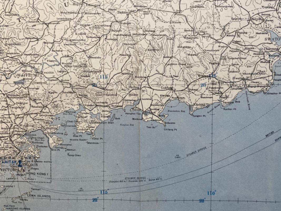
Map of Hong Kong 1941. Published by the US Army as part of a series of International Maps of the World. On paper size 66 by 53 cm. Scale 1:1,000,000. Coded NT-50 and marked “For Official Use Only”. Covers an area that includes Hong Kong, Swatow and Chaochow and the Pescadores islands. Colour. Has been folded. Good to VG condition.
Author
US Army
Date
1941
Publisher
US Army
Condition
Good to VG
Other books
If you liked the book you've just seen, you might be interested in other books from the same dealer below.
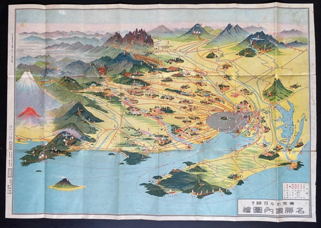
Aeriel map of Tokyo and its Environs 1928
Toshiyoshi Inagaki
Kudan Shubo
£95.00
Offered by Arthur Hook
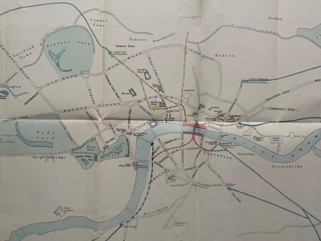
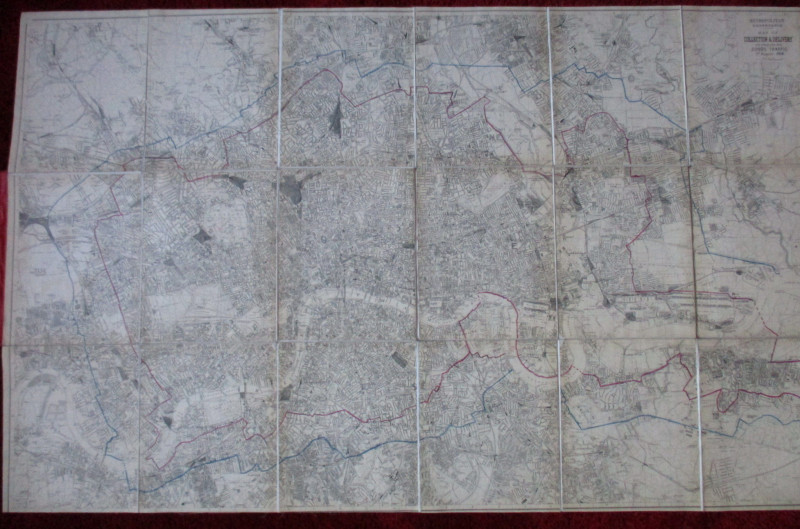
Map of London: a Plan for The General Metropolitan...
Arrowsmith
House of Commons
£135.00
Offered by Arthur Hook
Ordnance Survey map of City of London (part) with...
Yelland
Ordnance Survey
£55.00
Offered by Arthur Hook
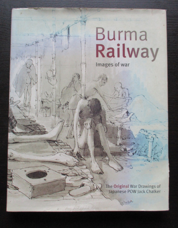
Burma Railway Images of War. The original war draw...
Chalker
Mercer Books
£45.00
Offered by Arthur Hook
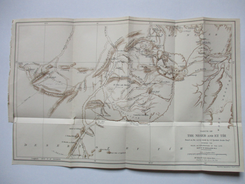
Map of Parts of the Negeb and Et Tih Palestine 188...
Drake
Palestine Exploration Fund
£40.00
Offered by Arthur Hook
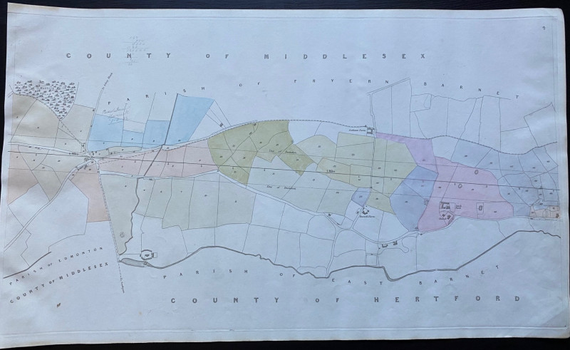
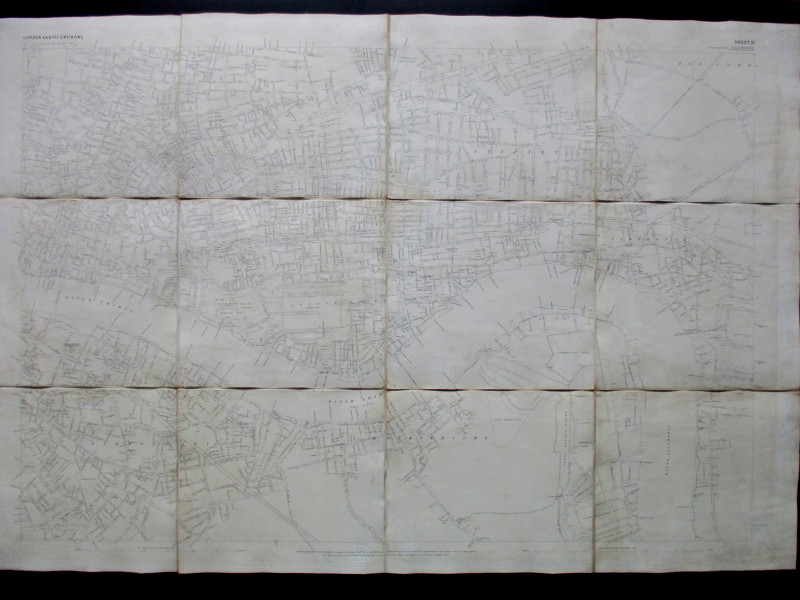
Map of Edmonton and Hollick Wood to Fryern Barnet...
Rennie
Arrowsmith
£35.00
Offered by Arthur Hook
Friends of the PBFA
For £10 get free entry to our fairs, updates from the PBFA and more.
Please email info@pbfa.org for more information