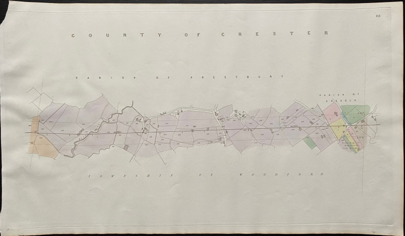
Map of the Parish of Prestbury to the Parish of Cheadle with the River Dean 1845

Book Description
Map of the Parish of Prestbury to the Parish of Cheadle with the River Dean. Includes individual houses and small settlements (though the village of Prestbury isn’t on the map). One of a series of plans and sections for a railway from London to Manchester by Rennie, Rastrick and Remington printed and published by Arrowsmith 1845. On a scale of 6 chains to the inch or 14 inches to the mile on stiff paper size 73 by 43 cm. With original hand-colouring. A detailed map on a large scale and a fascinating example of early Victorian railway planning. VG condition.
Author
Rennie
Date
1845
Publisher
Arrowsmith
Condition
VG
Other books
If you liked the book you've just seen, you might be interested in other books from the same dealer below.
A Descriptive Catalogue of the Objects Exhibited i...
Max Herz
National Printing Department, Cairo
£115.00
Offered by Arthur Hook
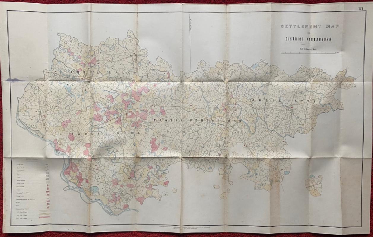
Settlement Map of District Pertabgurh (Pratapgarh...
Survey of India
Survey of India
£100.00
Offered by Arthur Hook
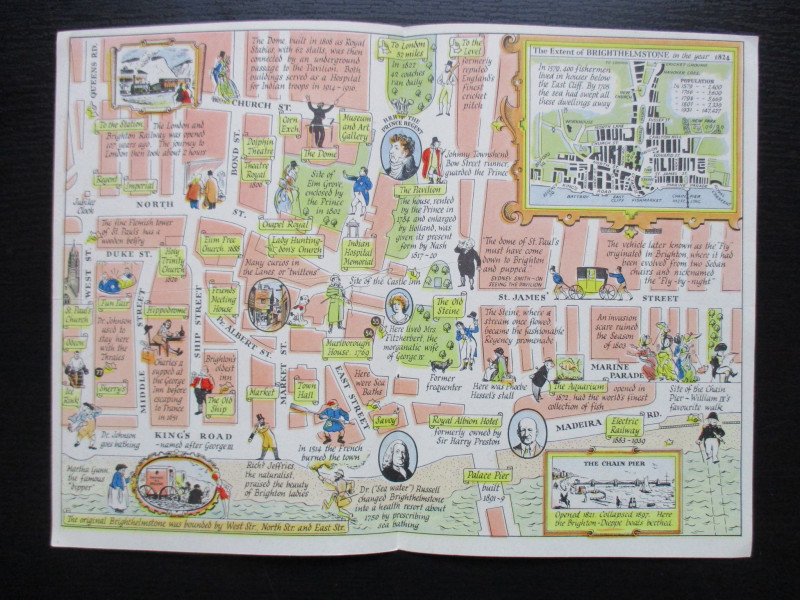
A Map of Brighton “The Queen of Watering Places” f...
Sayer
Strand Magazine
£40.00
Offered by Arthur Hook
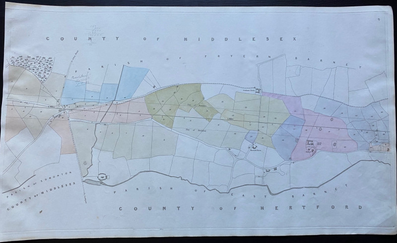
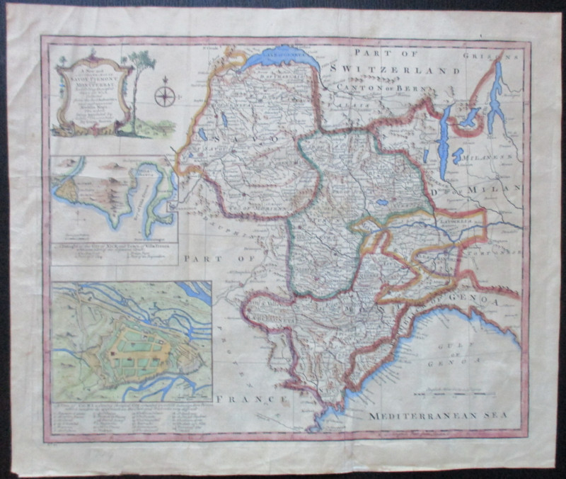
Map of Edmonton and Hollick Wood to Fryern Barnet...
Rennie
Arrowsmith
£35.00
Offered by Arthur Hook
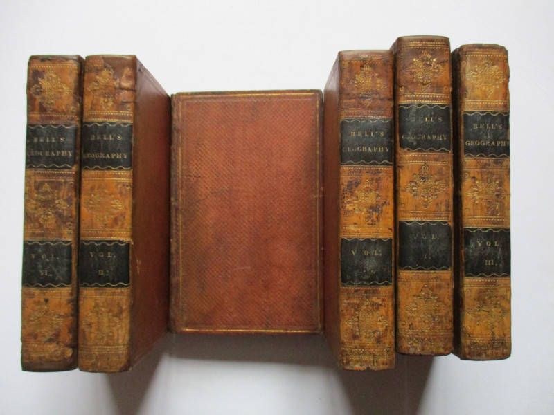
A System of Geography , Popular and Scientific or...
Bell
Fullarton, Tait, Curry, Simpkin, Marshall & Orr
£395.00
Offered by Arthur Hook
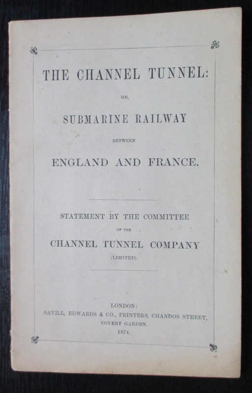
The Channel Tunnel or Submarine Railway between En...
Anon
Channel Tunnel Company
£85.00
Offered by Arthur Hook
Friends of the PBFA
For £10 get free entry to our fairs, updates from the PBFA and more.
Please email info@pbfa.org for more information