Plan Shewing Shropshire Union Canals
Book Description
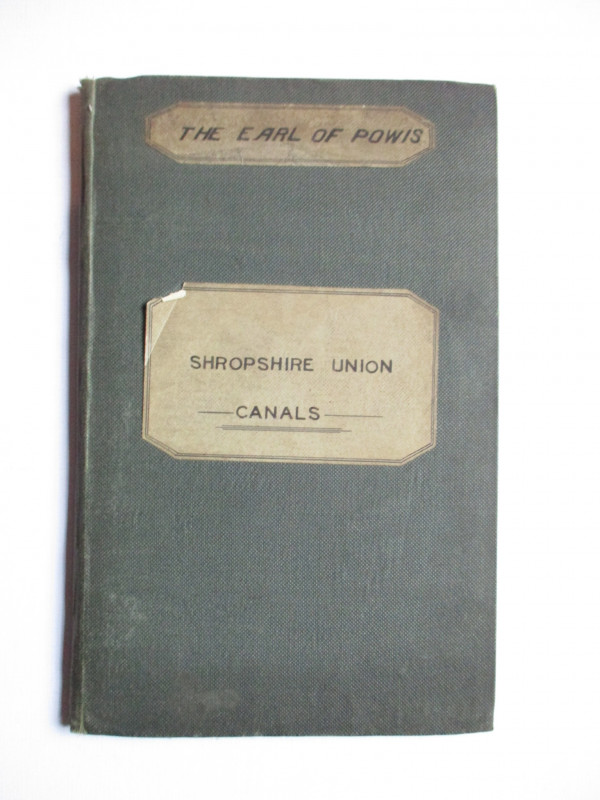
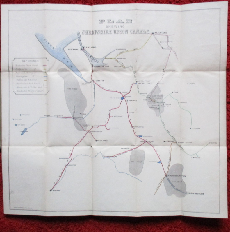
Plan Shewing Shropshire Union Canals lithographed by Gresty and Birchall, Chester circa 1875. On folding linen size 63 by 59 cm. Covers an area from Manchester in the north, Lake Bala and Newtown in the west, Buxton in the east to Birmingham in the south. A colour-coded key provides information on seven different canals. The map also shows the coalfields of the region. Folds into stiff boards with title and a label of the Earl of Powis to the front. VG condition.
Author
Anon
Date
1875
Publisher
Gresty and Birchall
Illustrator
Gresty and Birchall
Condition
VG
Other books
If you liked the book you've just seen, you might be interested in other books from the same dealer below.
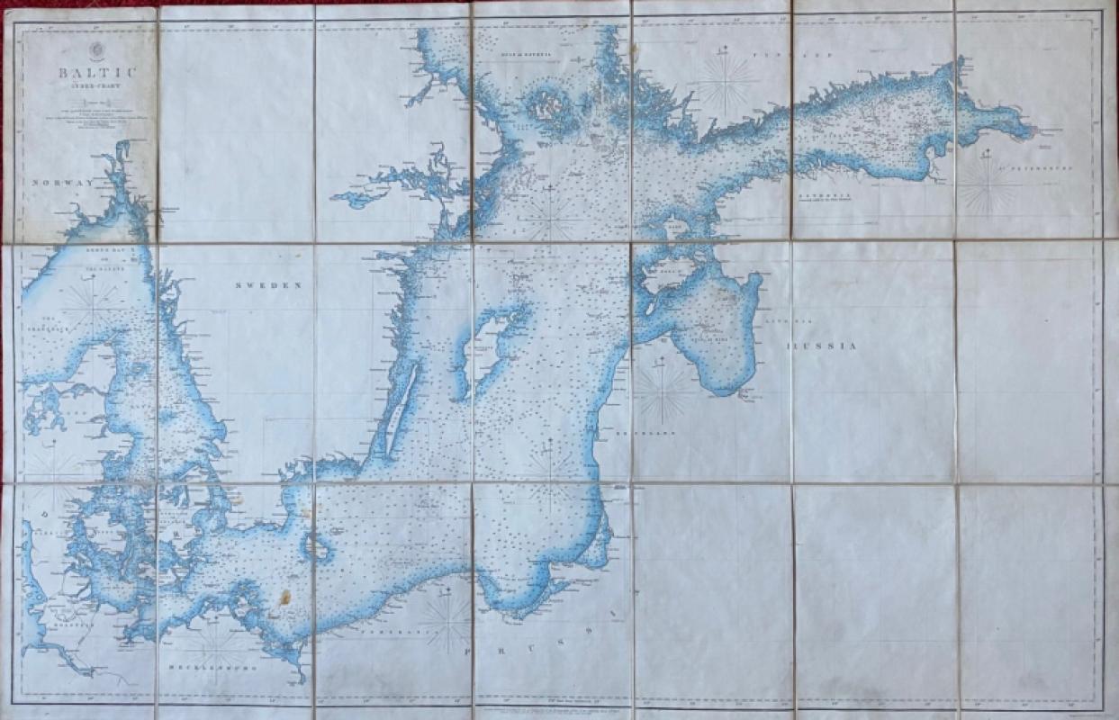
Map of the Baltic 1854
Anon
Hydrographic Office of the British Admiralty
£100.00
Offered by Arthur Hook
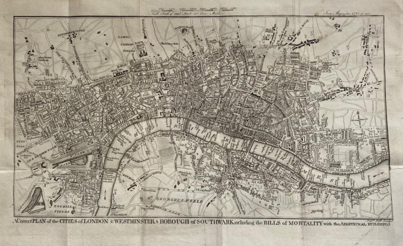
A Correct Plan of the Cities of London and Westmin...
Rocque
The Scots Magazine
Reserved
Offered by Arthur Hook
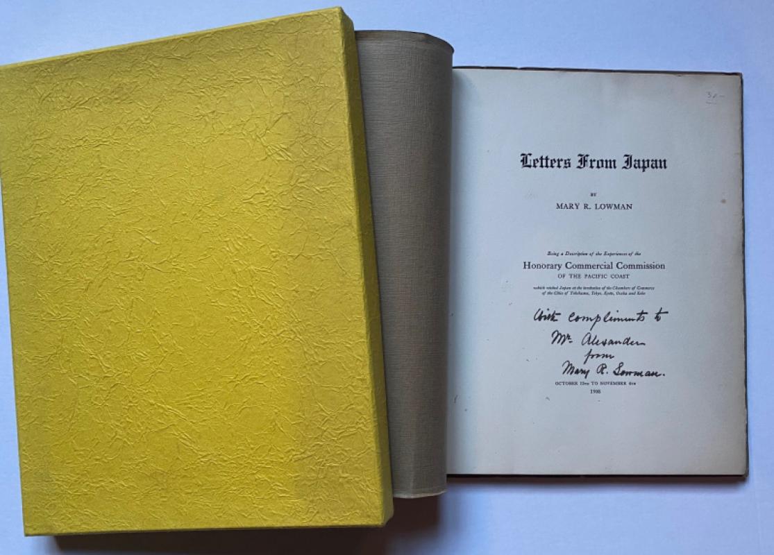
Letters from Japan Being a Description of the Expe...
Lowman
Lowman and Hanford
£175.00
Offered by Arthur Hook

Geological Map of England and Wales with all the R...
Murchison
Stanford
£75.00
Offered by Arthur Hook
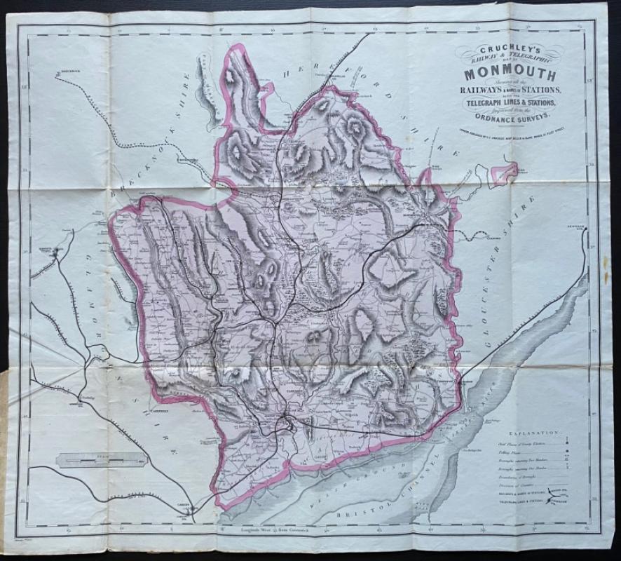
Cruchley’s Railway and Telegraphic County Map of M...
Cruchley
Cruchley
£40.00
Offered by Arthur Hook
Friends of the PBFA
For £10 get free entry to our fairs, updates from the PBFA and more.
Please email info@pbfa.org for more information