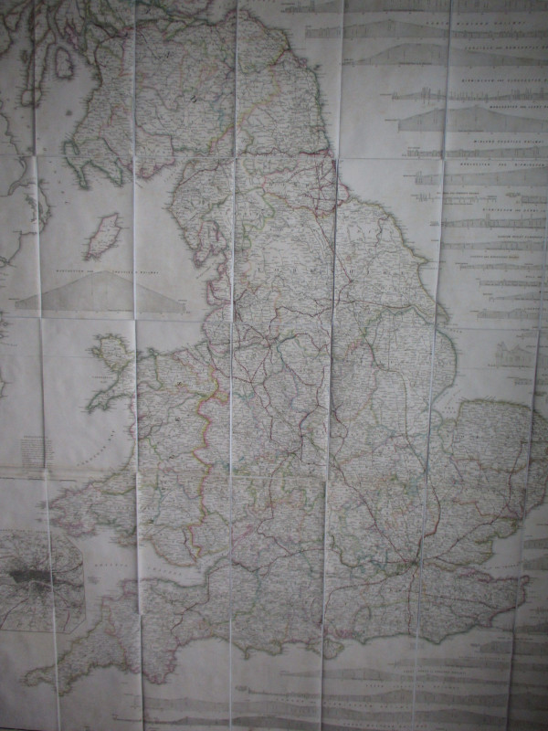
General Map of London: the Street Improvements and Railway Termini 1846


Book Description
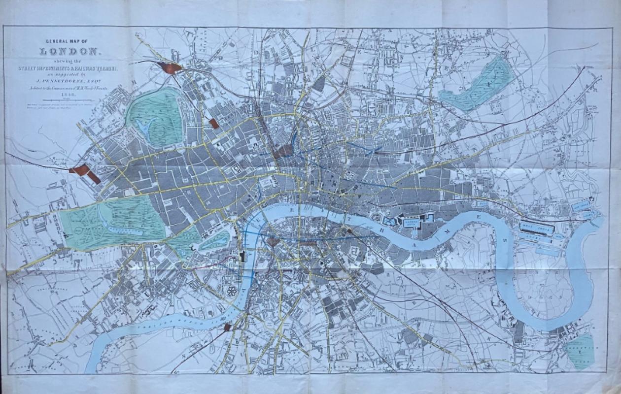
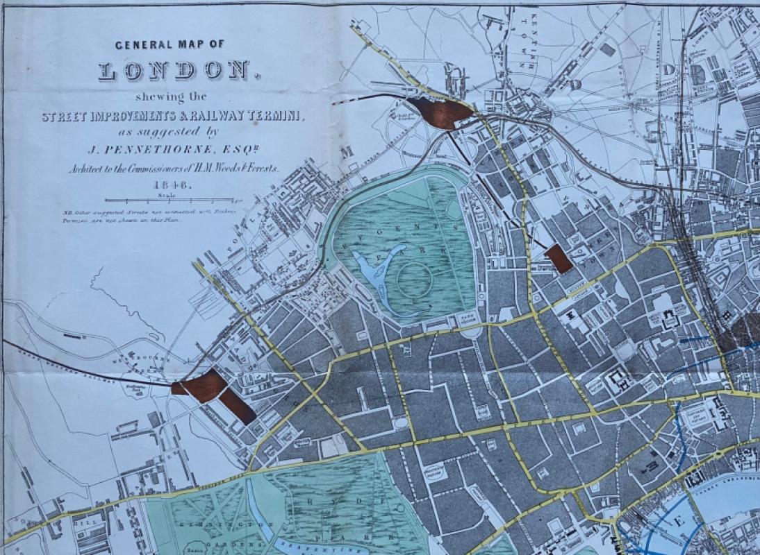
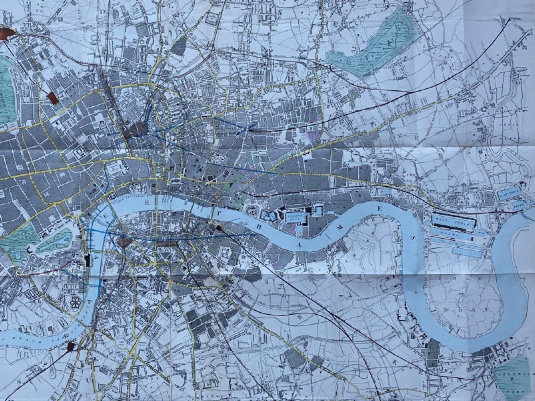
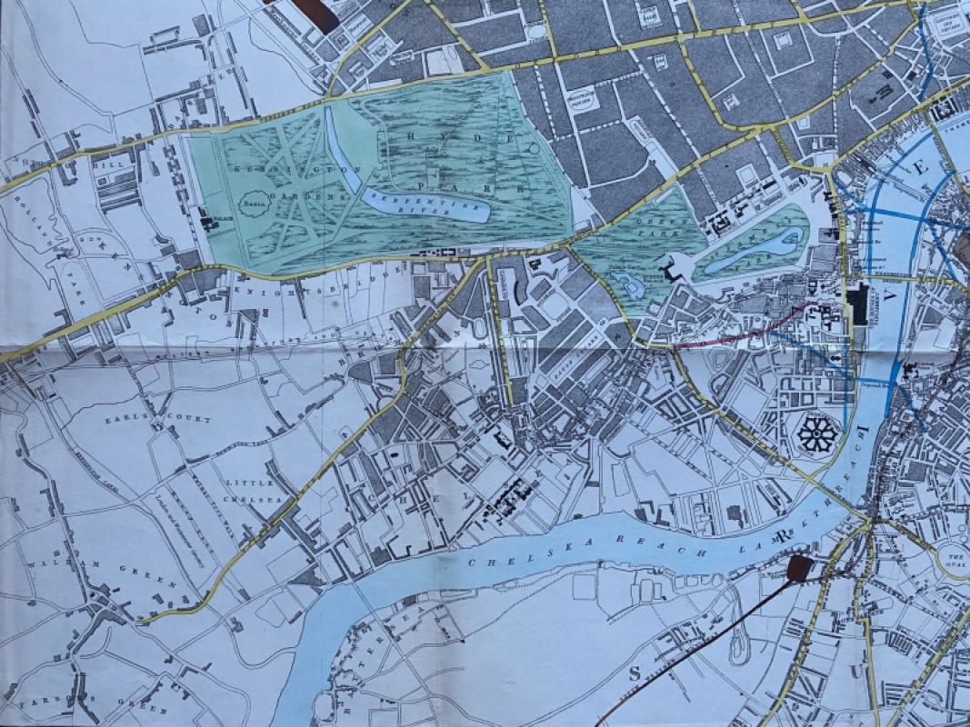
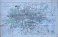
General Map of London: the Street Improvements and Railway Termini as suggested by J Pennethorne Esq. Architect to the Commission of HM Woods and Forests and published by Hansard for the House of Commons, London 1846. On paper size 95 by 55 cm. Scale two furlongs to the inch or four inches to the mile. Hand coloured. The map shows London in considerable detail with the addition of some new railway lines that were intended to link the existing termini and possibly connect with a new central terminus. All the existing main line stations are here, though some are not yet in their eventual locations. This is London as it was in the middle of the first burst of railway mania, with the city already carved up by the creation of the new lines and faced with the prospect of more. Pennethorne was both an architect and an urban planner and responsible for several schemes to redevelop London in the 1840s. Has been folded. Good to VG condition.
Author
Pennethorne
Date
1846
Publisher
Hansard
Illustrator
Pennethorne
Condition
Good to VG
Other books
If you liked the book you've just seen, you might be interested in other books from the same dealer below.
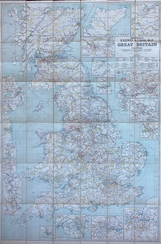
Roberts Railway and Canal Map of Great Britain and...
Roberts
Roberts
£100.00
Offered by Arthur Hook

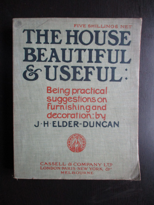
The House Beautiful and Useful: Being practical su...
Elder-Duncan
Cassell
£85.00
Offered by Arthur Hook
Railroadiana : A New History of England or picture...
Anon
Simpkin Marshall
£250.00
Offered by Arthur Hook

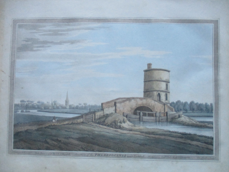
An engraving of the Junction of the Thames and Can...
Boydell.
Boydell
£50.00
Offered by Arthur Hook
Friends of the PBFA
For £10 get free entry to our fairs, updates from the PBFA and more.
Please email info@pbfa.org for more information