Map of the Middle and Near East

Book Description
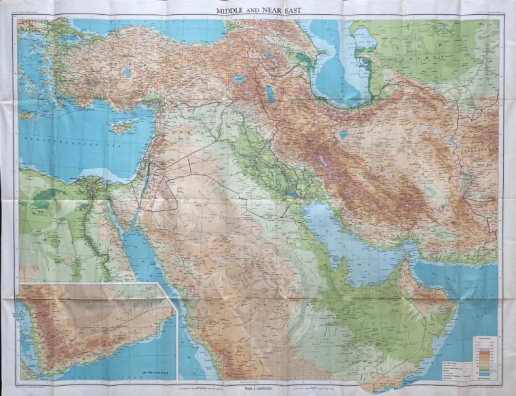
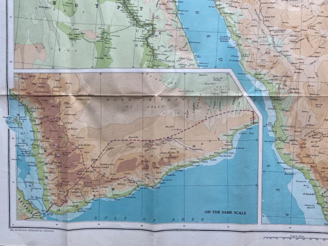
Map of the Middle and Near East by John Bartholomew, published by Bartholomew for the Edinburgh Geographical Institute 1942. On paper size 101 by 77 m. Scale 1:4,000,000. With an inset map on the same scale of the southern coast of Saudi Arabia (Hadhramaut), Yemen and Aden. Colour. With a colour-coded key to heights and a second key to main motor routes, secondary routes, caravan routes and tracks, railways, oil pipelines, boundaries and sand deserts. A detailed map in VG condition. Has been folded.
Author
Bartholomew
Date
1942
Publisher
Bartholomew
Condition
VG
Other books
If you liked the book you've just seen, you might be interested in other books from the same dealer below.
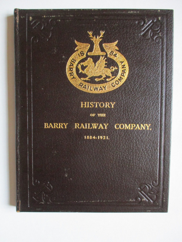
History of the Barry Railway Company 1884-1921
Rimmell
Barry Railway Company
£165.00
Offered by Arthur Hook
Scarborough’s Map of the British Isles shewing Geo...
Anon
The Scarborough Company
£100.00
Offered by Arthur Hook
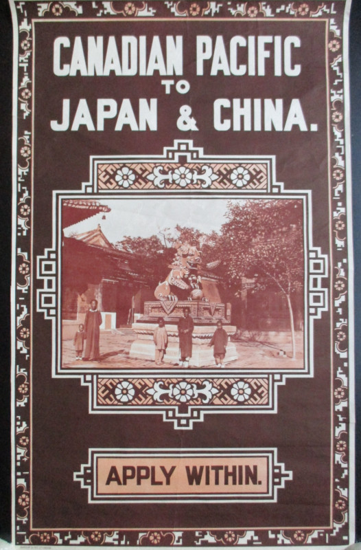
Canadian Pacific Poster circa 1930 Canadian Pacifi...
Canadian Pacific
Canadian Pacific
£500.00
Offered by Arthur Hook
Friends of the PBFA
For £10 get free entry to our fairs, updates from the PBFA and more.
Please email info@pbfa.org for more information