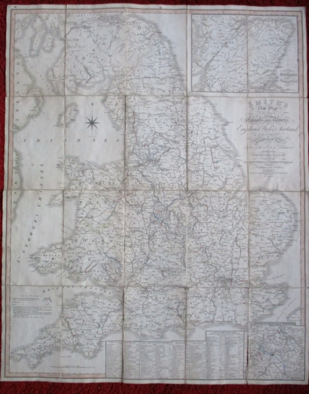
Roberts Railway and Canal Map of Great Britain and Ulster
Book Description
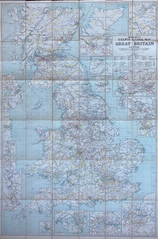
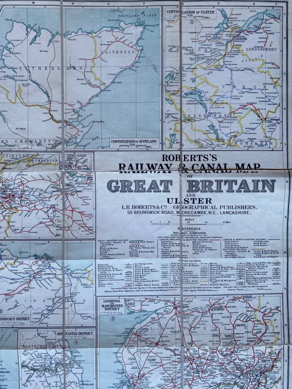
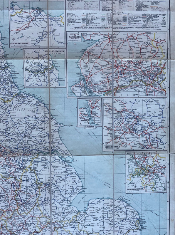
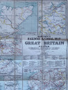
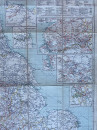
Roberts Railway and Canal Map of Great Britain and Ulster published by Roberts, Morecambe circa 1930. On folding linen in 36 sections, size 152 by 101 cm. or 60 by 40 inches. Scale 10 miles to the inch. A large and very detailed map of the railway network at its peak and of Britain’s canals. Includes ten inset maps of the railways in London, Leeds, Manchester and Liverpool, Ulster etc. A colour-coded key provides information on the lines of the four main companies after grouping plus those of another smaller 54 railways around the country. VG condition. Folds into stiff covers.
Author
Roberts
Date
1930
Binding
Folds into stiff boards
Publisher
Roberts
Condition
VG
Other books
If you liked the book you've just seen, you might be interested in other books from the same dealer below.
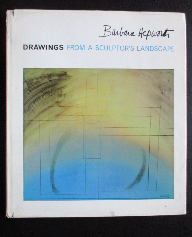
Barbara Hepworth Drawings from a Sculptor’s Landsc...
Hepworth
Cory Adams and Mackay
£45.00
Offered by Arthur Hook
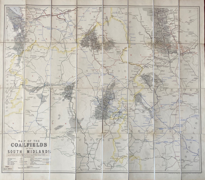
Map of the Coalfields of the South Midlands circa...
Johnston
Johnston
£100.00
Offered by Arthur Hook
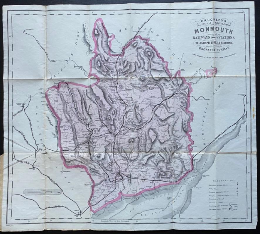
Cruchley’s Railway and Telegraphic County Map of M...
Cruchley
Cruchley
£40.00
Offered by Arthur Hook
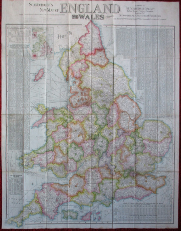
Scarborough’s Map of the British Isles shewing Geo...
Anon
Scarborough Company
£105.00
Offered by Arthur Hook
Friends of the PBFA
For £10 get free entry to our fairs, updates from the PBFA and more.
Please email info@pbfa.org for more information