City Map of Dublin (Stadtplan von Dublin)
Book Description
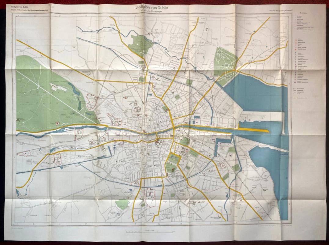
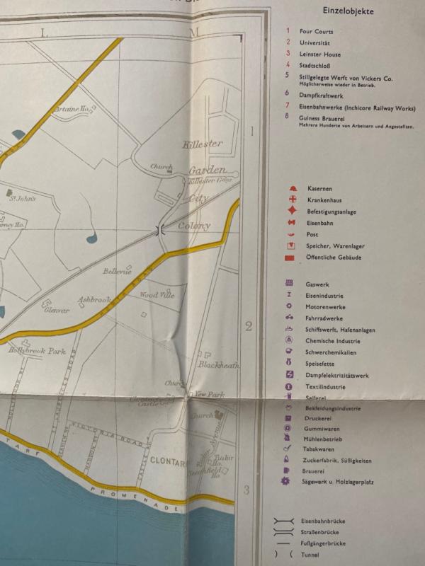
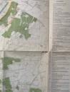
City Map of Dublin (Stadtplan von Dublin) published by the German General Staff, Berlin September 1940. On paper size 112 by 76 cm. Scale 1:10,000. A very detailed map created from pre-war British maps but amended for military and intelligence use. The words “Not for Distribution” in German are printed at the top of the map. A key with text in German provide information on 39 features including factories, gas works, the Guinness brewery- and other breweries- post offices, the law courts, university, forts, barracks, hospitals, shipyards and the port. Most roads identified by name and these, like most of the other details on the map, are in English. Heights are shown in feet. Full colour. Has been folded. VG condition.
Author
German General Staff
Date
1940
Publisher
German General Staff
Condition
VG
Other books
If you liked the book you've just seen, you might be interested in other books from the same dealer below.
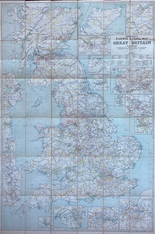
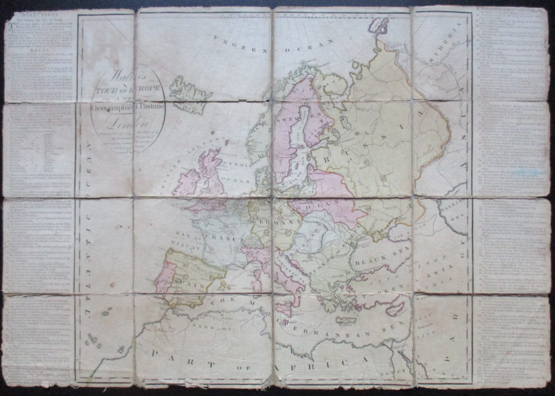
Roberts Railway and Canal Map of Great Britain and...
Roberts
Roberts
£100.00
Offered by Arthur Hook
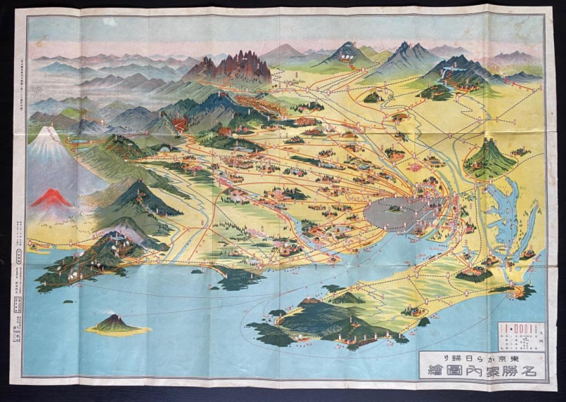
Aeriel map of Tokyo and its Environs 1928
Toshiyoshi Inagaki
Kudan Shubo
£95.00
Offered by Arthur Hook

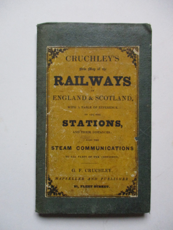
Cruchley’s New Map of the Railways of England and...
Cruchley
Cruchley
£85.00
Offered by Arthur Hook
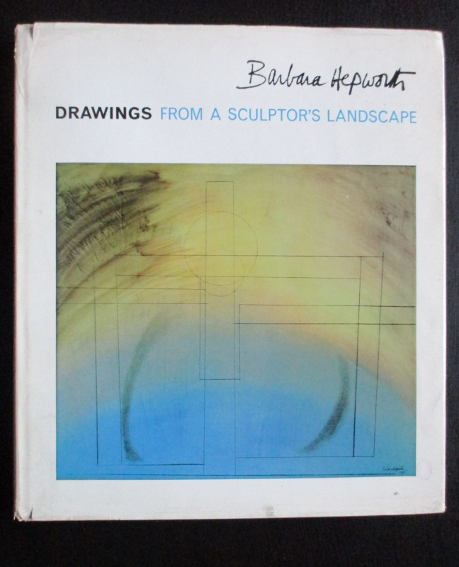
Barbara Hepworth Drawings from a Sculptor’s Landsc...
Hepworth
Cory Adams and Mackay
£45.00
Offered by Arthur Hook
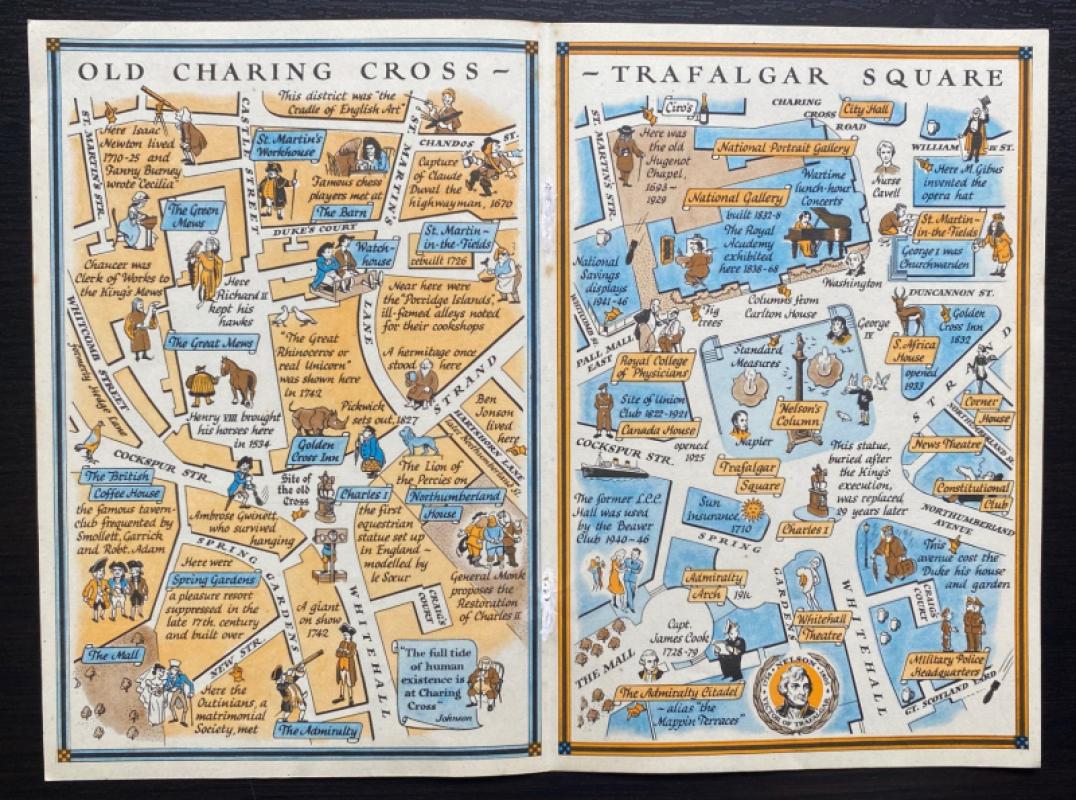
Two Maps of Charing Cross so displayed that the Ch...
Sayer
Strand Magazine
£35.00
Offered by Arthur Hook
Friends of the PBFA
For £10 get free entry to our fairs, updates from the PBFA and more.
Please email info@pbfa.org for more information