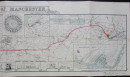
Map of the Port of Manchester & Ship Canal 1902

Book Description
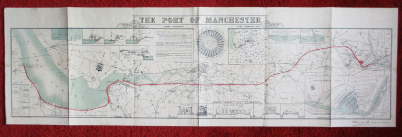
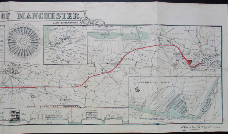
Map of the Port of Manchester, lithographed by Falkner and published by Manchester Ship Canal 1902. Size 152 by 48 cm. Scale approximately 2 inches to the mile. A large and extremely detailed map on stiff good quality paper that has been folded but will open out into a panorama. Includes inset maps of Manchester docks on a larger scale and of the region on a smaller scale, plus plans of various locks, docks and wharves. Some colour. One small old edge repair to margin and some text in Japanese to the reverse. Good to VG condition.
Author
Falkner
Date
1902
Publisher
Manchester Ship Canal
Condition
Good to VG
Other books
If you liked the book you've just seen, you might be interested in other books from the same dealer below.


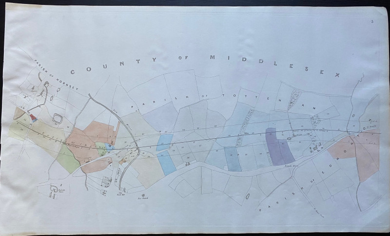
A Map of Brighton “The Queen of Watering Places” f...
Sayer
Strand Magazine
£40.00
Offered by Arthur Hook
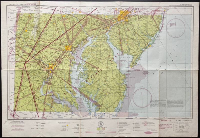
Map of Washington Air Defence Zone 1942
Colbert
US Coast and Geodetic Survey
Reserved
Offered by Arthur Hook
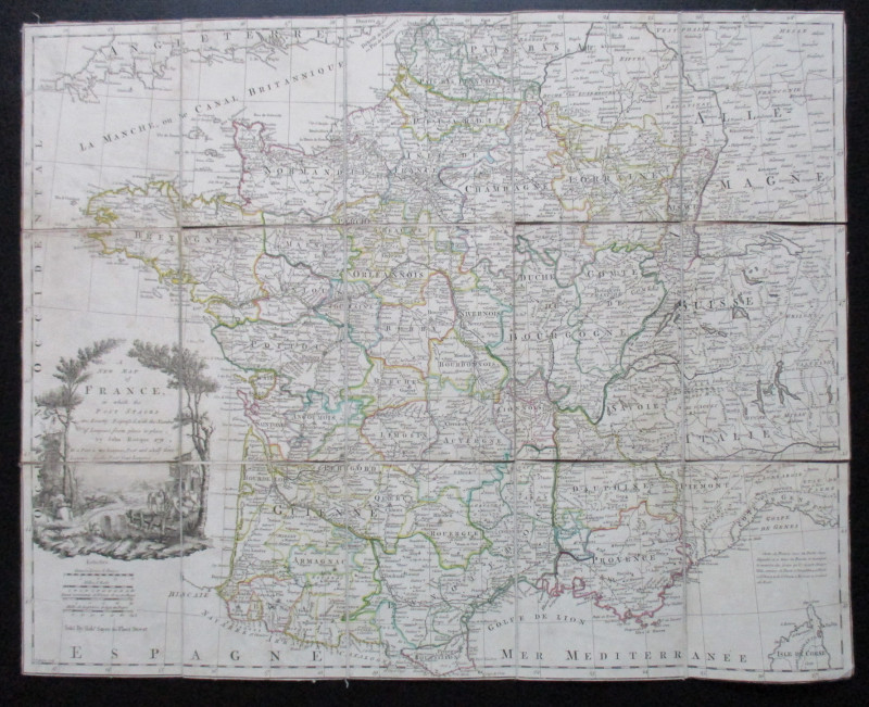
A New Map of France in which the Post Stages are E...
Rocque
Rocque and Sayer
£295.00
Offered by Arthur Hook
Carte Generale des Chemins de la France et de l’Al...
Vuillemin
Logerot
£70.00
Offered by Arthur Hook
Friends of the PBFA
For £10 get free entry to our fairs, updates from the PBFA and more.
Please email info@pbfa.org for more information