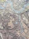
Geological Survey of England and Wales: two maps of London and its Environs. Superficial Geology and Solid Geology


Book Description
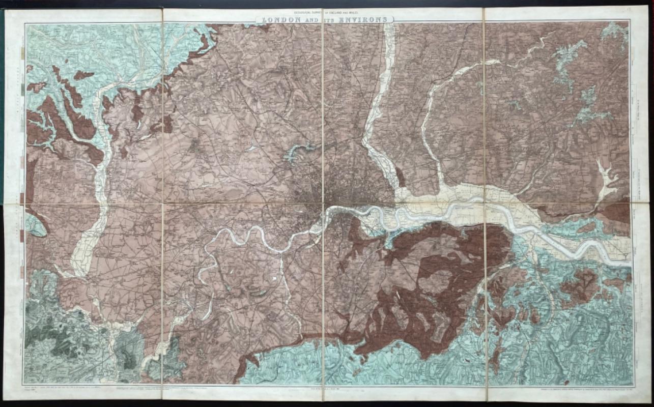
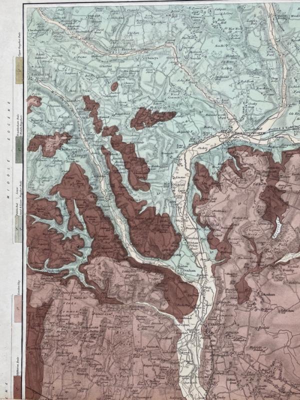
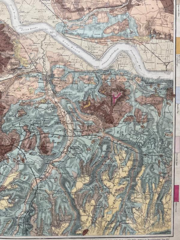
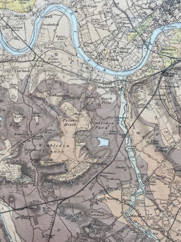
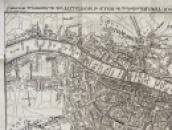
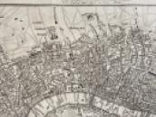
Geological Survey of England and Wales: London and its Environs. Superficial Geology. Published by the Ordnance Survey, Southampton 1861 and issued as a single map in 1873. On folding linen in 8 sections, size 116 by 71 cm. Scale one inch to the mile. Hand coloured and with a coloured key to 17 different types of rock and soil. Covers an area from Amersham across to Brentwood in the north and from Chobham in Surrey to Ridley in Kent in the south. Shows all railways and the spread of London in considerable detail. Heights are indicated by hachuring. Originally published in 7 separate sheets. In stiff boards with the title gold-stamped to the front. Library stamp to the reverse but not to the map. Map in VG condition, board edges and spine rubbed..
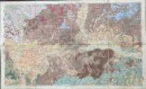
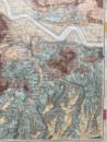
Geological Survey of England and Wales: London and its Environs. Solid Geology. Published by the Ordnance Survey, Southampton 1861 and issued as a single map in 1873. On folding linen in 8 sections, size 116 by 71 cm. Scale one inch to the mile. Solid Geology, with a colour-coded key to the various rock and soil types. Covers an area from Amersham across to Brentwood in the north and from Chobham in Surrey to Ridley in Kent in the south. Shows all railways and the spread of London in considerable detail. Heights are indicated by hachuring. Originally published in 7 separate sheets. In stiff boards with the title gold-stamped to the front. Library stamp to the reverse but not to the map. Map in VG condition, board edges and spine rubbed.
Dealer Notes
Maps offered as a pair
Author
James
Date
1873
Binding
Folds into stiff boards
Publisher
Ordnance Survey
Illustrator
Ramsey
Condition
VG
Pages
2
Other books
If you liked the book you've just seen, you might be interested in other books from the same dealer below.
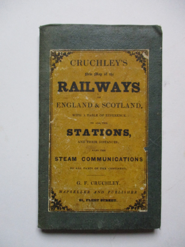
Carte Generale des Chemins de la France et de l’Al...
Vuillemin
Logerot
£70.00
Offered by Arthur Hook
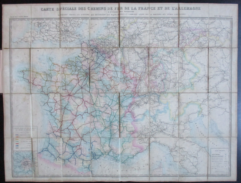
Cruchley’s New Map of the Railways of England and...
Cruchley
Cruchley
£85.00
Offered by Arthur Hook
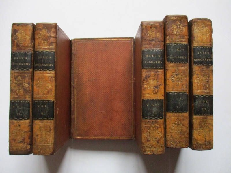
A System of Geography , Popular and Scientific or...
Bell
Fullarton, Tait, Curry, Simpkin, Marshall & Orr
£395.00
Offered by Arthur Hook
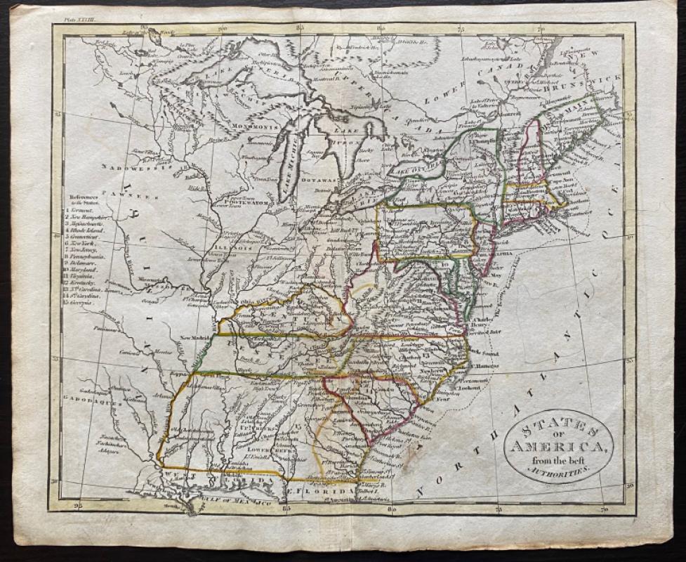
Map of States of America from the Best Authorities
Russell
Rivington, Wilkie and others
£120.00
Offered by Arthur Hook
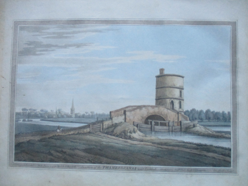
An engraving of the Junction of the Thames and Can...
Boydell.
Boydell
£50.00
Offered by Arthur Hook
Friends of the PBFA
For £10 get free entry to our fairs, updates from the PBFA and more.
Please email info@pbfa.org for more information