British Army Map of Basra 1941


Book Description
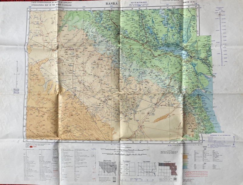
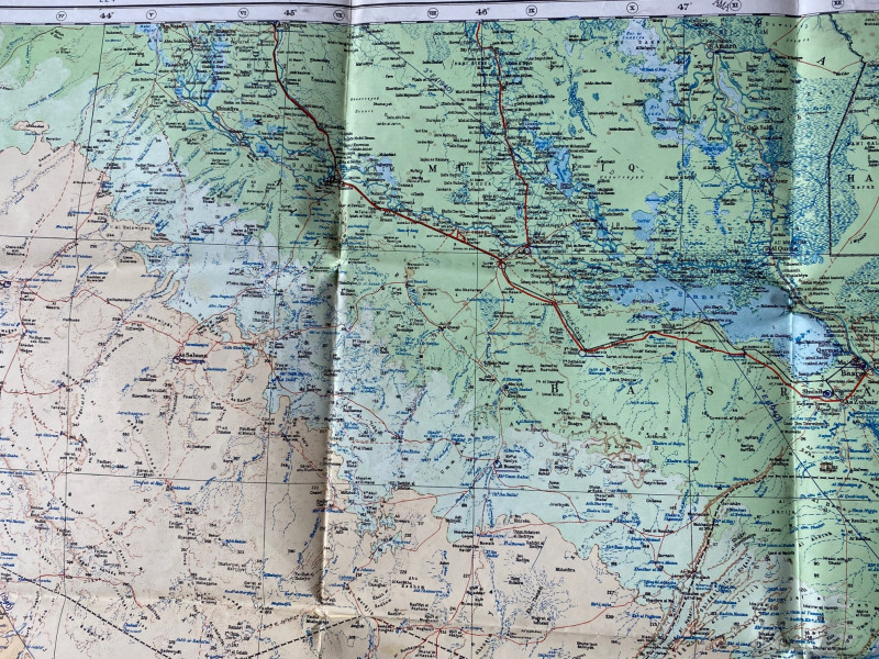
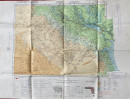
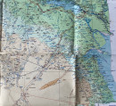
Map of Basra. Published by the British Army 512 Forward Survey Company, Royal Engineers, September 1941. On paper size 84 by 63 cm. Scale 1:1,000,000. Coded GSGS 2555 and North H-38. Colour. Covers an area of southern Iraq and some of Saudi Arabia. With a key to features including towns, provinces, various gauges of railways, oil wells, forts, mosques, churches, canals etc. Another key provides colour-coded information on airfields, landing strips and other military features. There is also a glossary of Iraqi and Iranian terms used in the map. Heights are shown by shading, hachuring and by spot heights. Has been folded and creased but in overall Good to VG condition.
Author
British Army
Date
1941
Publisher
British Army 512 Forward Survey Company, Royal Engineers
Condition
Good to VG
Other books
If you liked the book you've just seen, you might be interested in other books from the same dealer below.
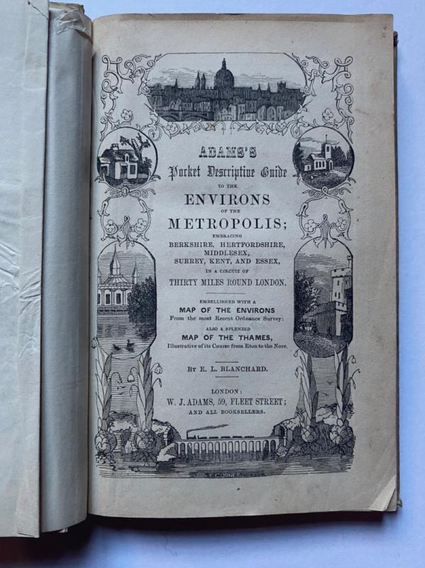
Adams's Pocket Descriptive Guide to the Environs o...
Blanchard
Adams
£125.00
Offered by Arthur Hook

Friends of the PBFA
For £10 get free entry to our fairs, updates from the PBFA and more.
Please email info@pbfa.org for more information