Stanford's Map of Central and Eastern Europe 1914
Book Description
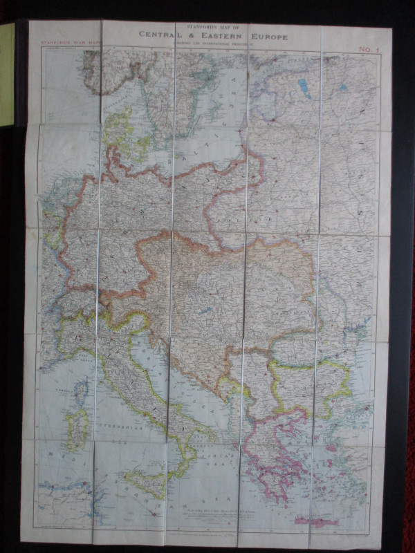
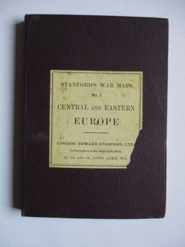
Stanford's Map of Central and Eastern Europe Stanford's War Map Number 1. published by Stanford London August 7th 1914. On folding linen in 25 sections size 98 by 67 cm. Scale 50 miles to the inch. Colour. A key provides information on railways roads canals etc. and shows the major fortresses of the various powers with a large red star. Folds into original stiff boards with the Stanford label to the front. A detailed map in VG condition.
Author
Stanford
Date
1914
Binding
Folds into stiff boards
Publisher
Stanford
Condition
VG
Other books
If you liked the book you've just seen, you might be interested in other books from the same dealer below.
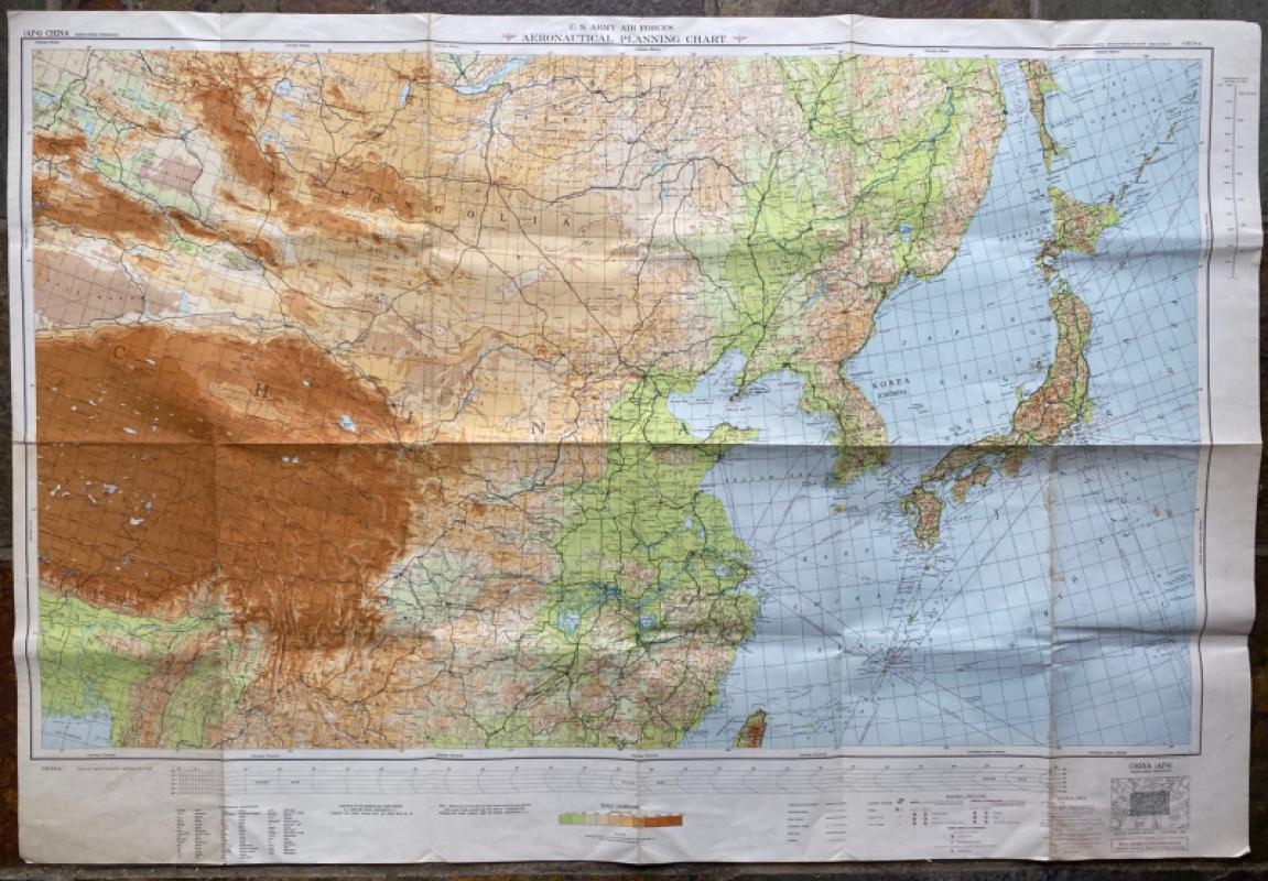
US Army Air Forces Map of China
Aeronautical Chart Service USAAF
Aeronautical Chart Service USAAF
£75.00
Offered by Arthur Hook

A Descriptive Catalogue of the Objects Exhibited i...
Max Herz
National Printing Department, Cairo
£115.00
Offered by Arthur Hook
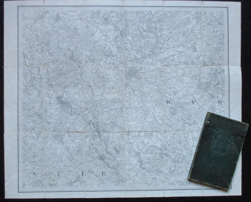
Early Ordnance Survey Map Birmingham Area circa 18...
Colby
Ordnance Survey
£100.00
Offered by Arthur Hook


Richard’s Comprehensive Geography of the Chinese E...
Kennelly
T’Usewei Press
£210.00
Offered by Arthur Hook

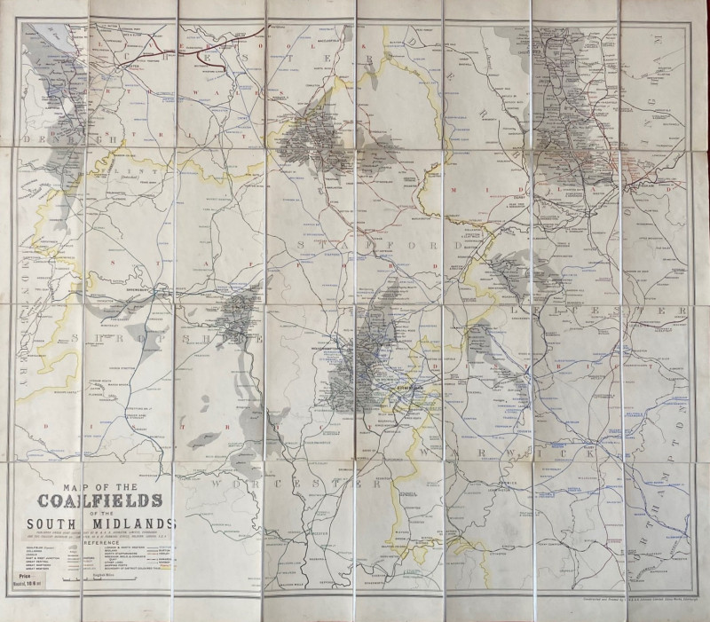
Map of the Coalfields of the South Midlands circa...
Johnston
Johnston
£100.00
Offered by Arthur Hook
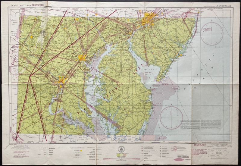
Map of Washington Air Defence Zone 1942
Colbert
US Coast and Geodetic Survey
Reserved
Offered by Arthur Hook
Friends of the PBFA
For £10 get free entry to our fairs, updates from the PBFA and more.
Please email info@pbfa.org for more information