Ypres Trench Map
Book Description
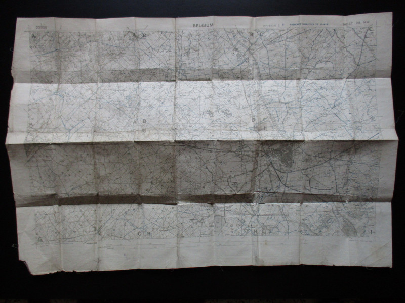
Trench Map: Ypres and Poperinghe area. Belgium Sheet 28 NW, edition 6 B., published by the Ordnance Survey April 1918. Updated to 10-4-18. Coded in the bottom l/h corner GS GS 2742 and Field Survey Co. RE (8663) 12-4-18. On folding linen on a scale of 1:20,000. Size 86 by 59 cm. No key, but use of colour coding to denote trenches. Two pencil annotations outside left & right margins. A very detailed map in Good to VG condition, with a slight weakness to one fold but no tears. Original owner's name to reverse. The owner served in the Durham Light Infantry and the Northumberland Fusiliers., and was wounded in France.
Date
1918
Binding
Cloth map
Publisher
1918
Condition
Good to VG
Other books
If you liked the book you've just seen, you might be interested in other books from the same dealer below.
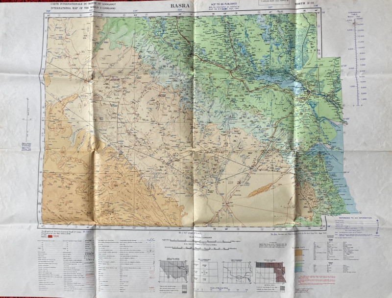
British Army Map of Basra 1941
British Army
British Army 512 Forward Survey Company, Royal Engineers
£85.00
Offered by Arthur Hook


Friends of the PBFA
For £10 get free entry to our fairs, updates from the PBFA and more.
Please email info@pbfa.org for more information