The Crimea

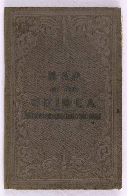
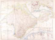
Book Description
Dealer Notes
Other books
If you liked the book you've just seen, you might be interested in other books from the same dealer below.
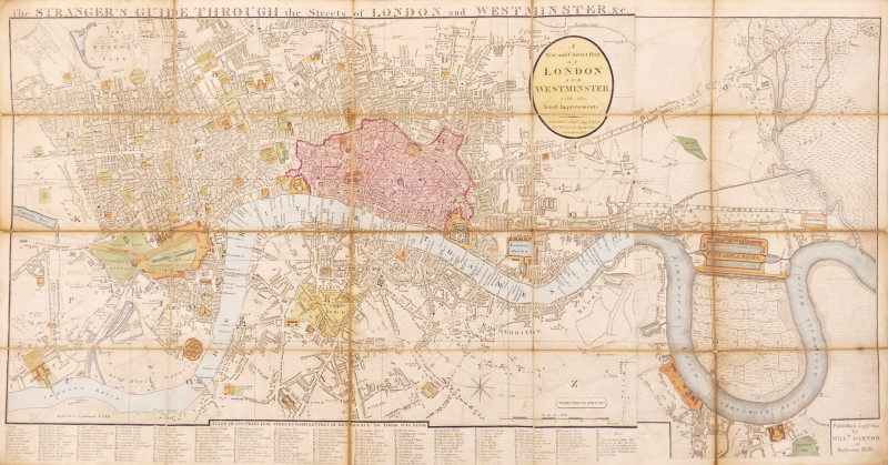
The Stranger's Guide Through the Streets of London...
Darton (William)
£750.00
Offered by Robert Hall Pictures
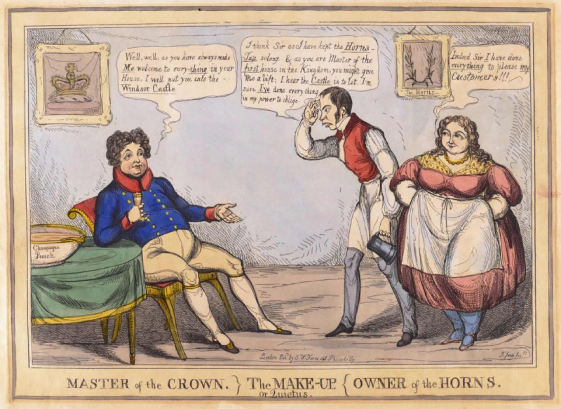
Master of the Crown} The Make-Up, or Quietus, {Own...
Jones (Thomas Howell)
S.W. Fores
£150.00
Offered by Robert Hall Pictures
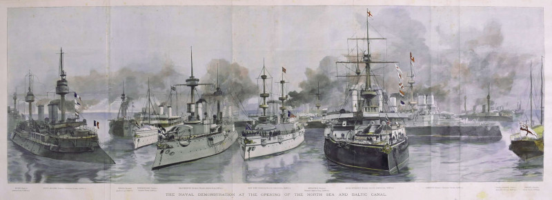
The Naval Demonstration at the Opening of the Nort...
Naumann (Paul Hermann)
Illustrated London News, London
£225.00
Offered by Robert Hall Pictures
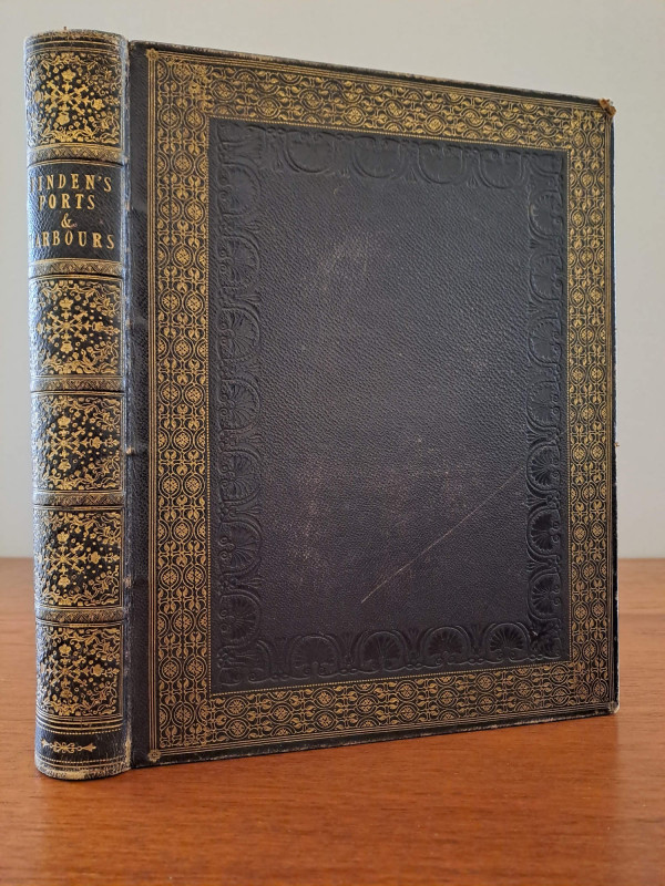
Finden's Views of the Ports, Harbours & Watering P...
Finden (E.F. & W.) and W.H. Bartlett.
[London]
£180.00
Offered by Robert Hall Pictures
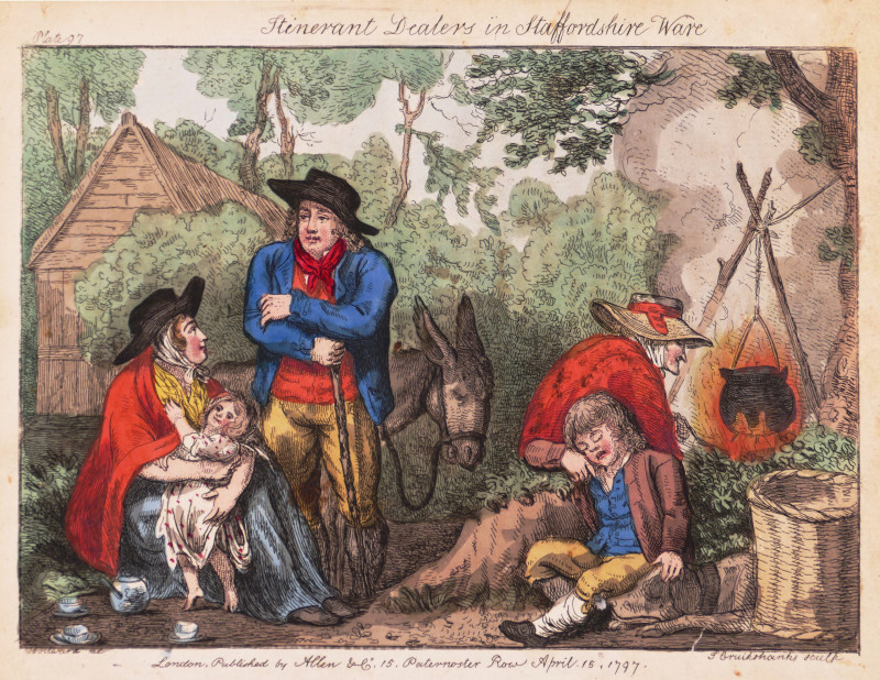
Itinerant Dealers in Staffordshire Ware
Woodward (George Moutard) After.
Allen & Co.
£185.00
Offered by Robert Hall Pictures
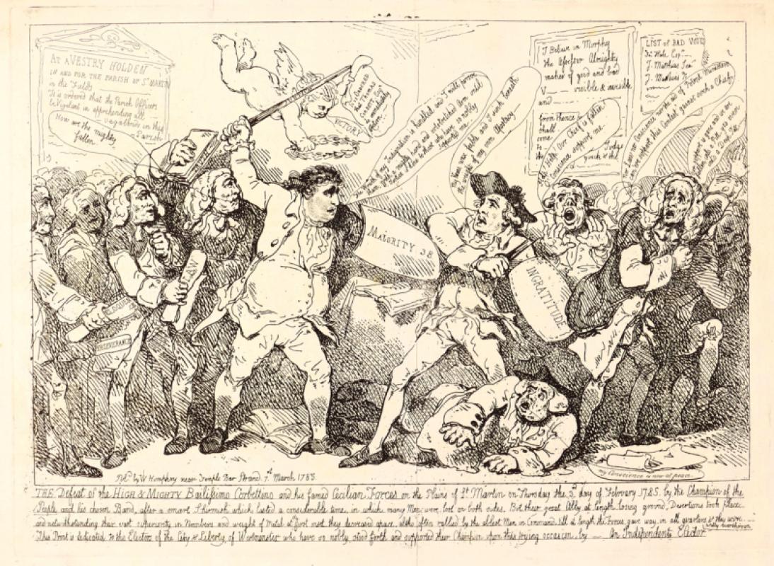
The Defeat of the High & Mighty Bailissimo Corbett...
Rowlandson (Thomas)
William Humphrey
£150.00
Offered by Robert Hall Pictures
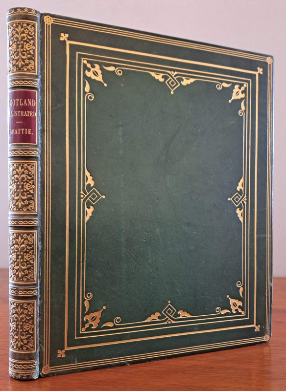
Scotland
Beattie (William) and Thomas Allom.
London, Geo. Virtue
£150.00
Offered by Robert Hall Pictures
Friends of the PBFA
Please email info@pbfa.org for more information