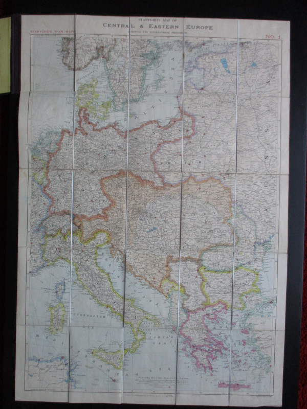
Railway Map of Italy. Carta Geografica del Regno d’Italia con tutti le ferrovie in attivita


Book Description
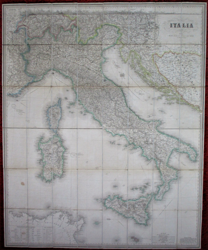
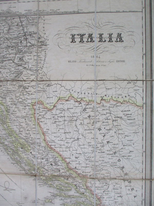
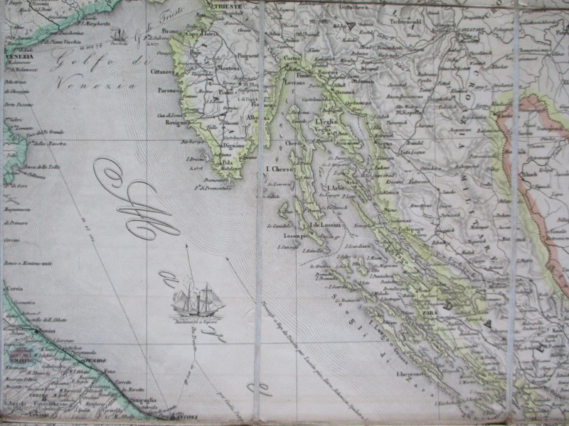
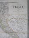
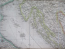
Railway Map of Italy. Carta Geografica del Regno d’Italia con tutti le ferrovie in attivita, published by Artaria, Milan 1864. On folding linen in 48 sections, size 123 by 100 cm. Scale 30 kilometres to the inch, with four other scales including Italian miles and French leagues. In addition to mainland Italy, Sicily and Sardinia the map also includes the Dalmatian coast down to Montenegro, Corsica, some of Switzerland and part of the Balkans. The map seems to reflect pride in Italian unification with its attention to detail and decoration. Heights are shown by shading or hachuring. Running along the top of the map is a plan or elevation of the various mountain ranges of Italy. Includes a detailed key. Map VG condition folding into original rubbed but sound card slipcase.
Author
Artaria
Date
1864
Binding
Folds into card slipcase
Publisher
Artaria
Condition
VG
Other books
If you liked the book you've just seen, you might be interested in other books from the same dealer below.
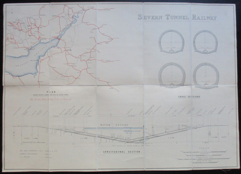
Map and Sections of the Severn Tunnel Railway 1875
Hawkshaw and Richardson
Unpublished
£250.00
Offered by Arthur Hook
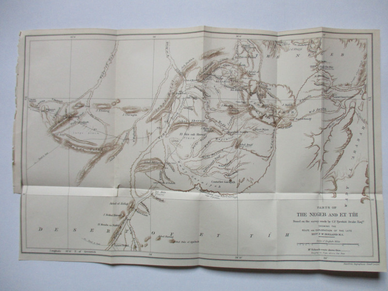
Map of Parts of the Negeb and Et Tih Palestine 188...
Drake
Palestine Exploration Fund
£40.00
Offered by Arthur Hook
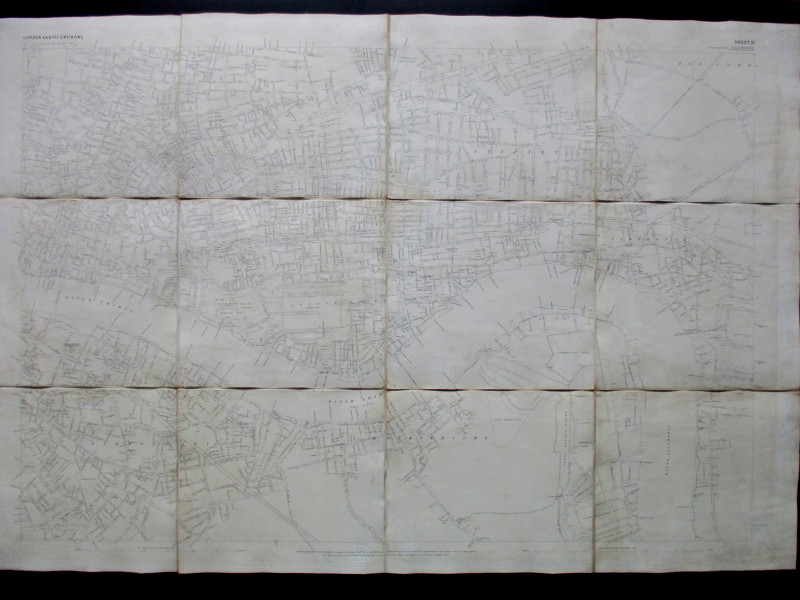
Ordnance Survey map of City of London (part) with...
Yelland
Ordnance Survey
£55.00
Offered by Arthur Hook
Four Plans for the development of the Central Lond...
Pennethorne
Hansard
£125.00
Offered by Arthur Hook
Railroadiana : A New History of England or picture...
Anon
Simpkin Marshall
£250.00
Offered by Arthur Hook
Friends of the PBFA
For £10 get free entry to our fairs, updates from the PBFA and more.
Please email info@pbfa.org for more information