Map of Dakar 1926

Book Description
Map of Dakar. Prepared by the Service Geographique de l‘Afrique Francaise under the direction of Martonne, edited by Barrere and published by Andriveau Goujon, Paris 1926. A folding map on linen in 18 sections, size 71 by 58 cm. Scale 1:500,000. A detailed map. Key includes information on such features as mosques, Christian missions, camp sites and military posts. Some colour. VG condition.
Author
Barrere
Date
1926
Binding
Folding map on linen
Publisher
Andriveau Goujon
Condition
VG
Other books
If you liked the book you've just seen, you might be interested in other books from the same dealer below.
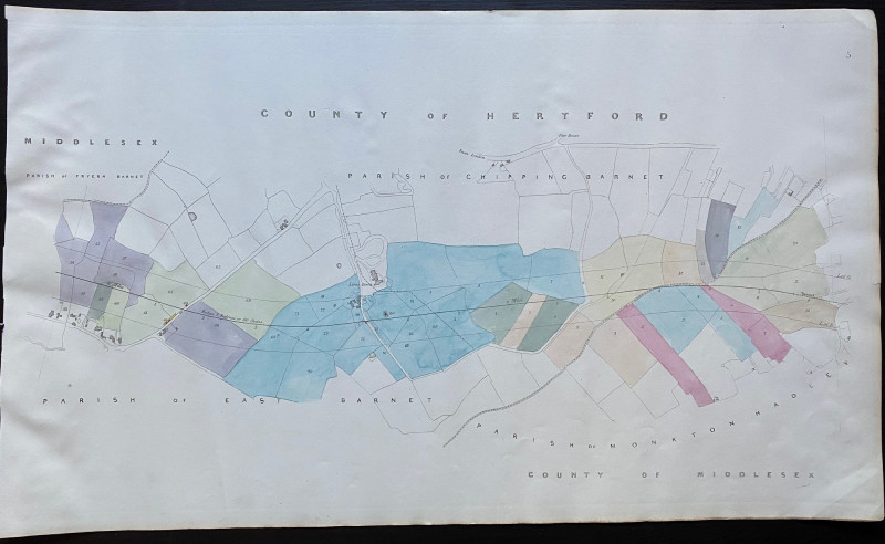
Map of Fryern Barnet to the tunnel near Chipping B...
Rennie
Arrowsmith
£35.00
Offered by Arthur Hook
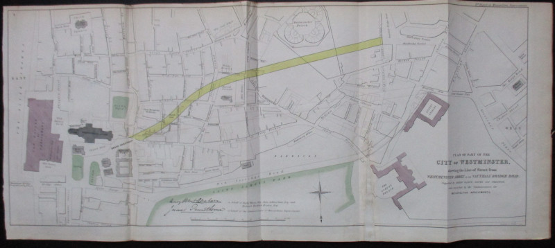
Plan of Part of the City of Westminster shewing th...
Pennethorne and Abrahams
Hansard
£95.00
Offered by Arthur Hook
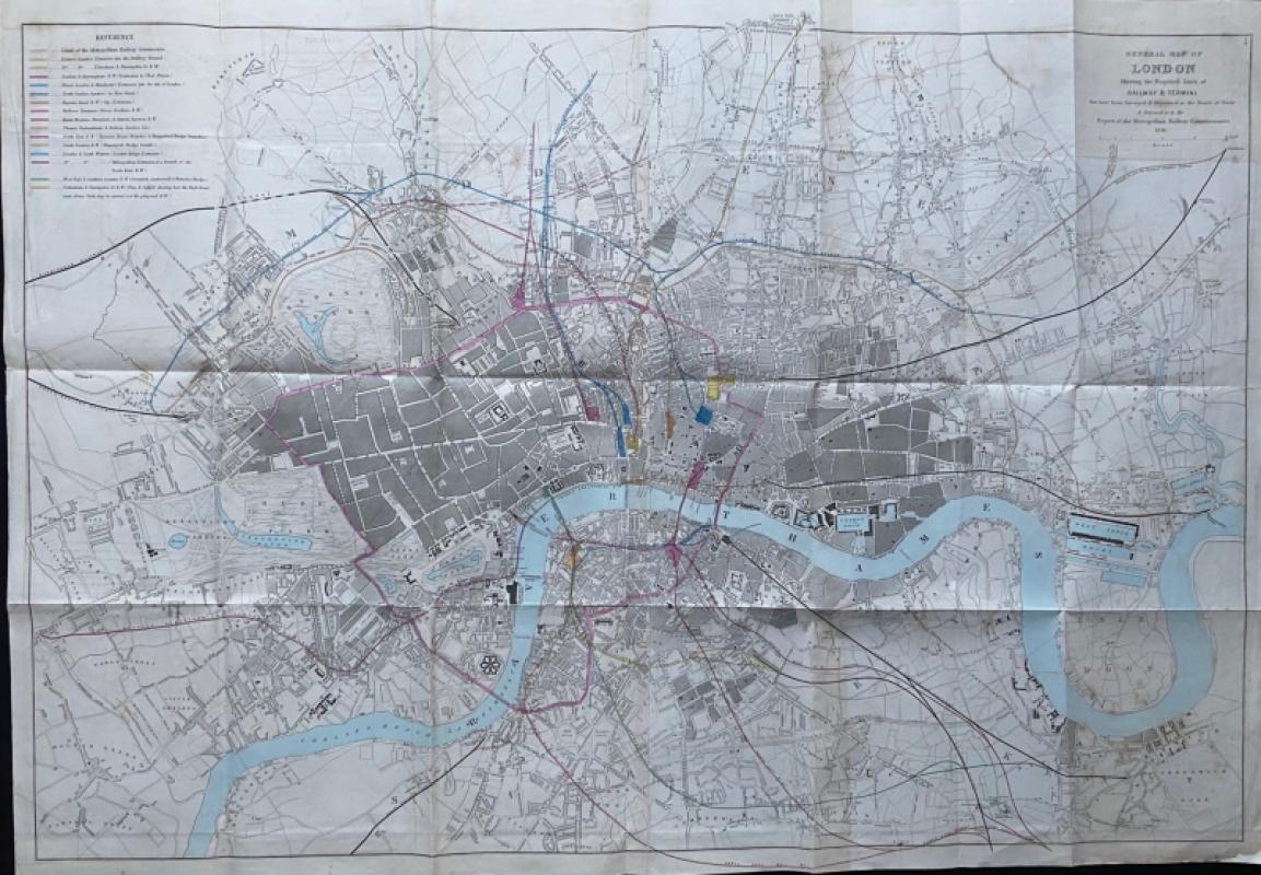
General Map of London Shewing the Proposed Lines o...
Pennethorne
Hansard
£225.00
Offered by Arthur Hook
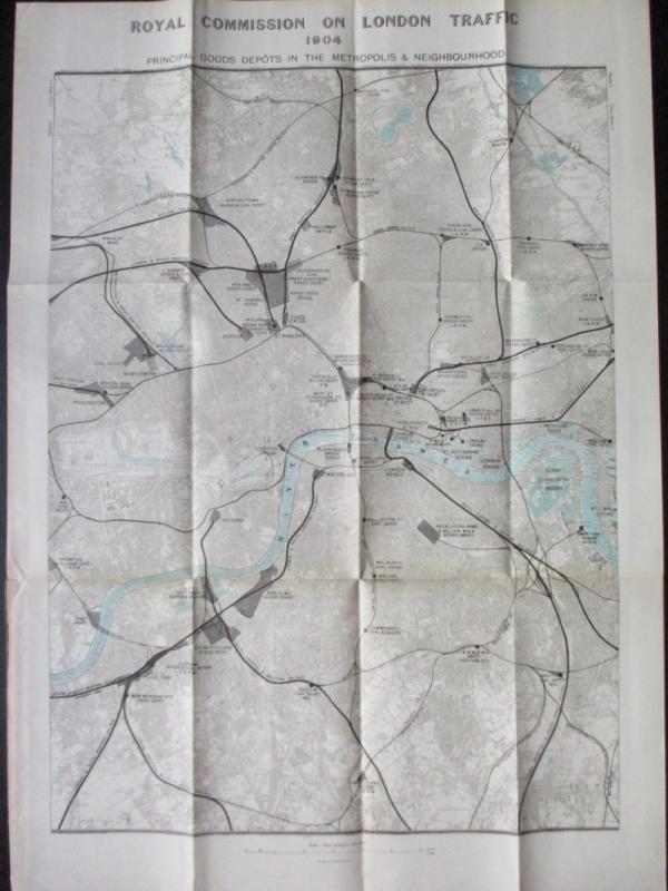
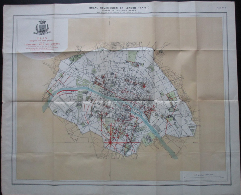
Three Maps showing the position of the Principal G...
Royal Commission on London Traffic
Hansard
£150.00
Offered by Arthur Hook
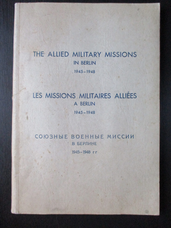
The Allied Military Missions in Berlin 1945-48
The Chief of Allied Liaison and Protocol Section
Allied Liaison and Protocol Section
£100.00
Offered by Arthur Hook
Friends of the PBFA
For £10 get free entry to our fairs, updates from the PBFA and more.
Please email info@pbfa.org for more information