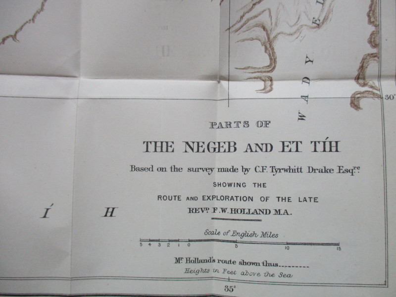
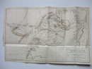
Map of Parts of the Negeb and Et Tih Palestine 1884

Book Description
Map of Parts of the Negeb and Et Tih, based on the survey made by C F Tyrwhitt Drake showing the route and exploration of the late Reverend F W Holland. Lithographed by Stanfords and published by the Palestine Exploration Fund, London 1884. On paper Size 44 by 28 cm. Scale seven inches to the mile. Colour. A Detailed map with heights shown by hachuring or shading. Has been folded. Cropped to one margin. VG condition.
Author
Drake
Date
1884
Publisher
Palestine Exploration Fund
Illustrator
Stanford
Condition
VG
Other books
If you liked the book you've just seen, you might be interested in other books from the same dealer below.
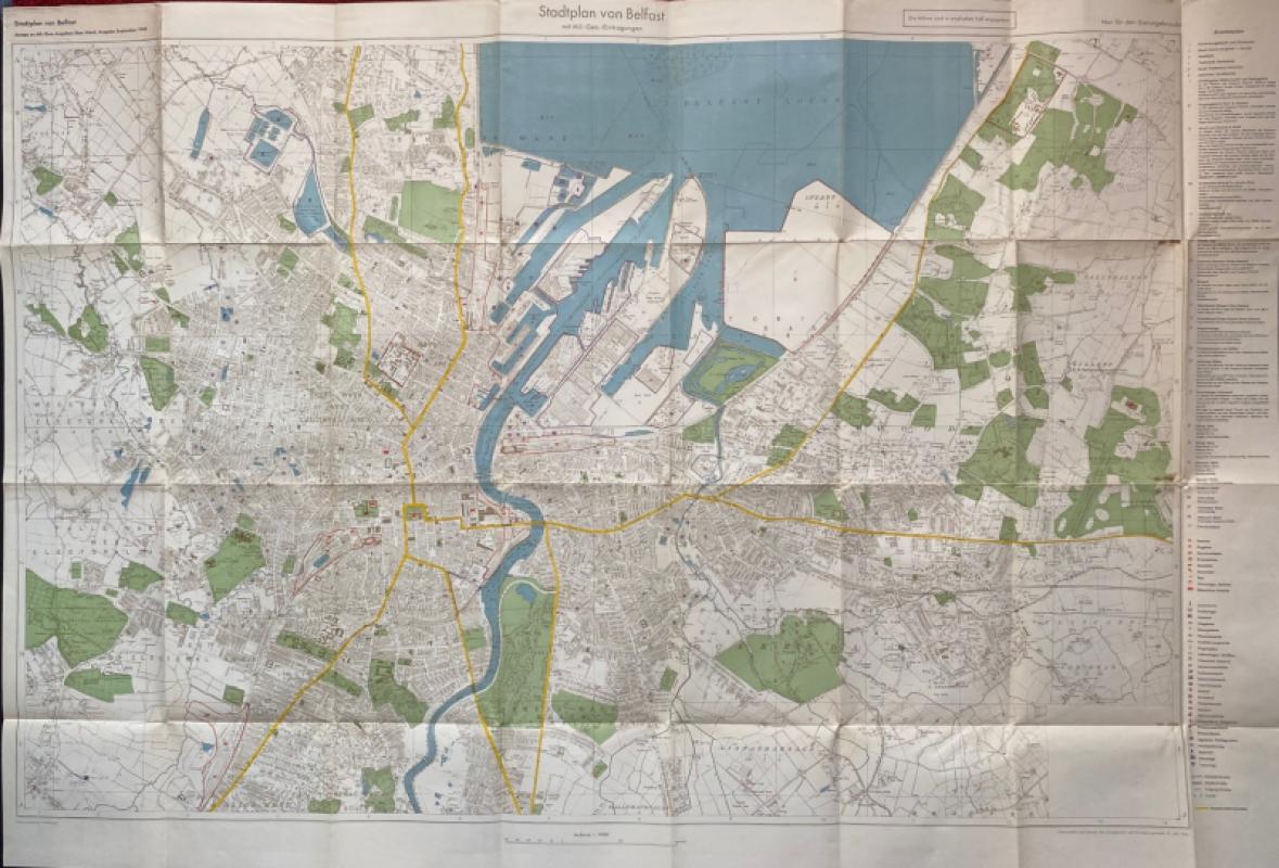
City Map of Belfast (Stadtplan von Belfast) 1940
German General Staff,
German General Staff,
£135.00
Offered by Arthur Hook
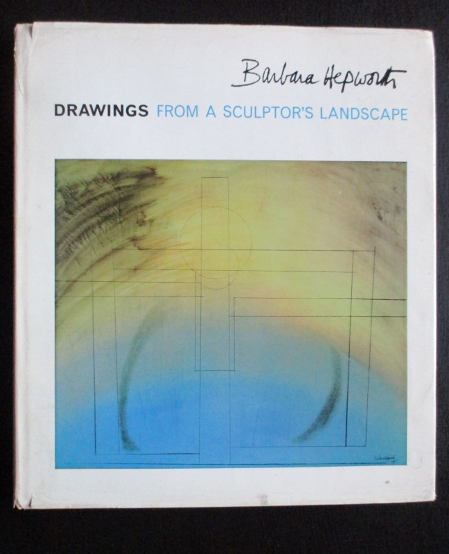
Barbara Hepworth Drawings from a Sculptor’s Landsc...
Hepworth
Cory Adams and Mackay
£45.00
Offered by Arthur Hook
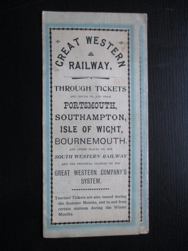
The Great Western Railway of England. Train servic...
GWR
Great Western Railway
£45.00
Offered by Arthur Hook
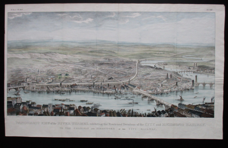
Panoramic View of the River Thames exhibiting the...
Schulthess
City and Richmond Railway
£310.00
Offered by Arthur Hook
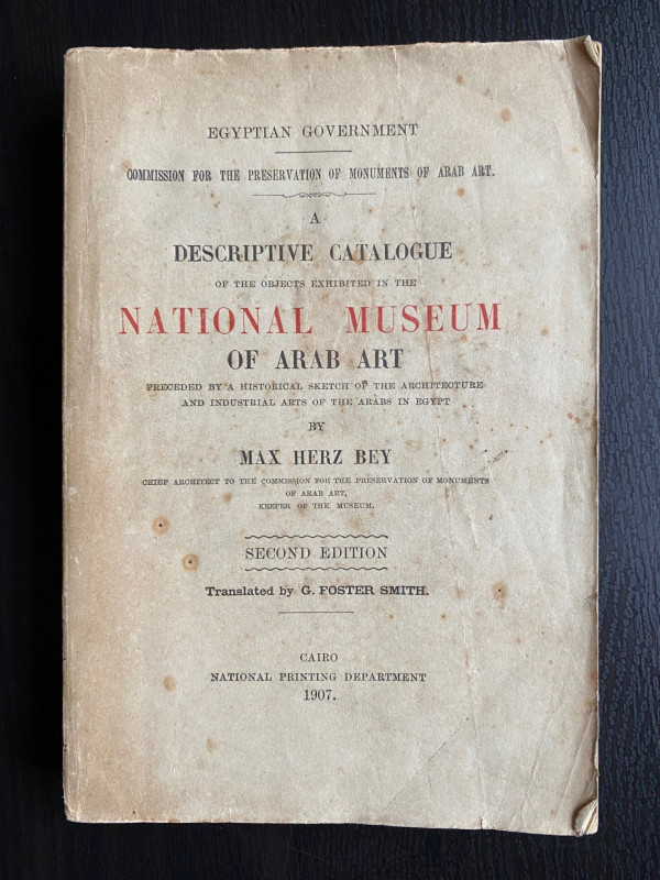
A Descriptive Catalogue of the Objects Exhibited i...
Max Herz
National Printing Department, Cairo
£115.00
Offered by Arthur Hook
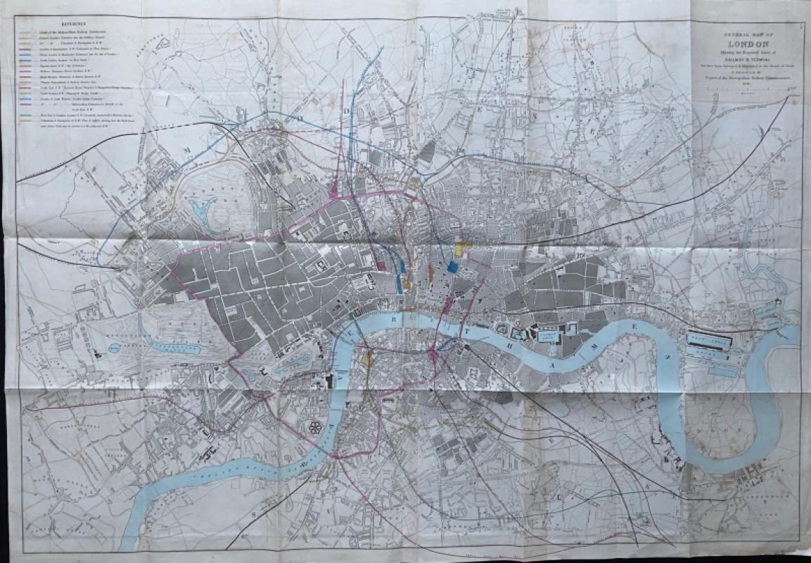
General Map of London Shewing the Proposed Lines o...
Pennethorne
Hansard
£225.00
Offered by Arthur Hook
Friends of the PBFA
For £10 get free entry to our fairs, updates from the PBFA and more.
Please email info@pbfa.org for more information