Dunlop Map of Central London and its literary associations 1950

Book Description
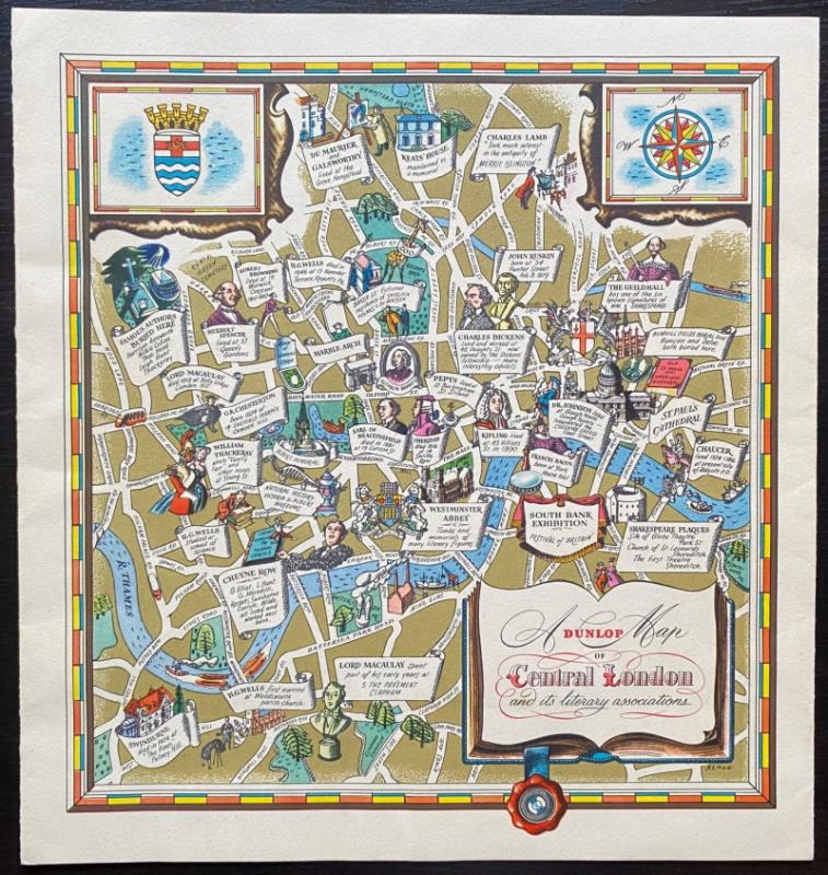
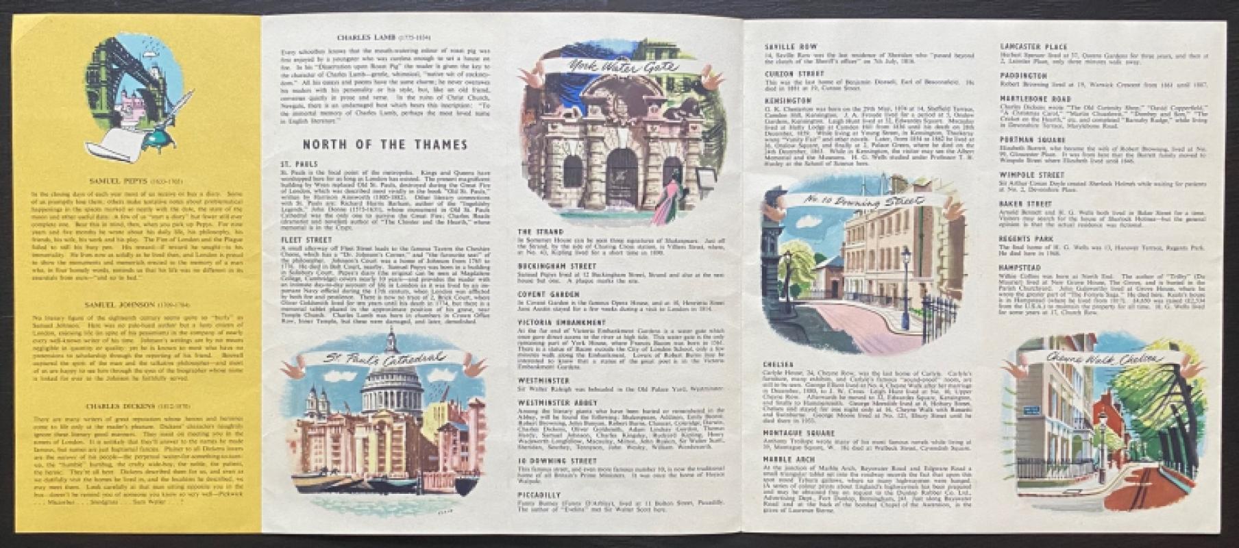
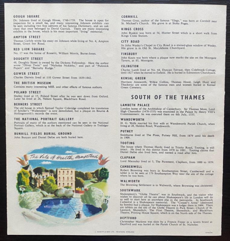
Dunlop Map of Central London and its literary associations. Drawn by Xenia (Denys Nicholls). Published by Dunlop and printed by Howitt 1950. On stiff paper size 24 by 23 cm. The map covers an area from Hammersmith Bridge, Wood Lane and Putney Hill in the west across to Commercial Road and Southwark Park in the east and from Hampstead Heath in the north to Clapham Common in the south. The map shows the homes and occasionally the burial places of famous writers from Chaucer to Wells and Kipling, plus some theatres, museums and the site of the 1951 Festival of Britain. Xenia’s use of colour and design is very much of the period and of the Festival.The title is contained in a cartouche in the shape of a book. More detailed text that accompanies the map and describes the literary links to areas north and south of the Thames is on the reverse, which opens to 56 by 24 cm.
Author
Nicholls
Date
1950
Publisher
Dunlop
Illustrator
Nicholls
Condition
VG
Pages
4
Other books
If you liked the book you've just seen, you might be interested in other books from the same dealer below.
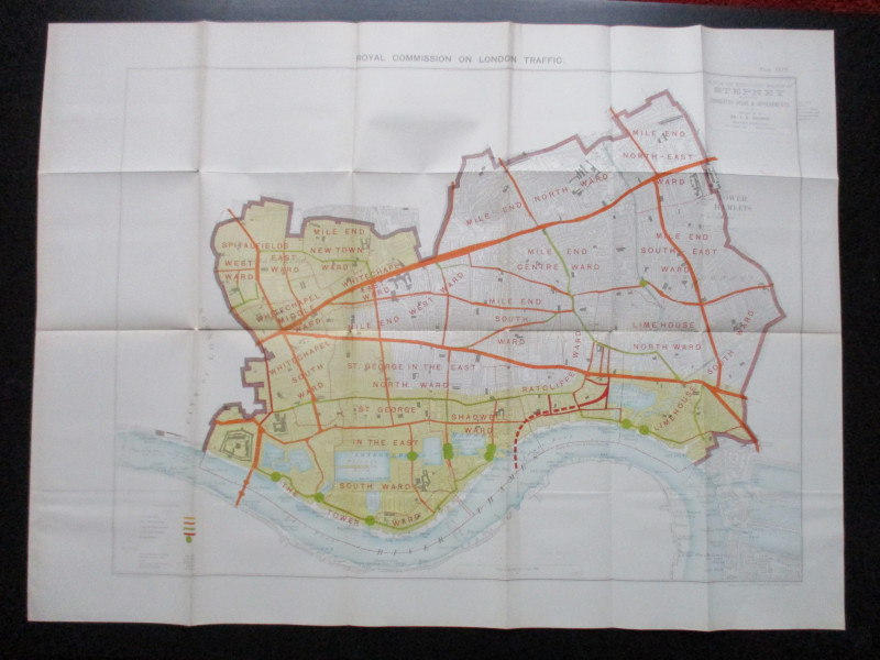
Plan of the London Metropolitan Borough of Stepney...
Ordnance Survey
Hansard
£45.00
Offered by Arthur Hook
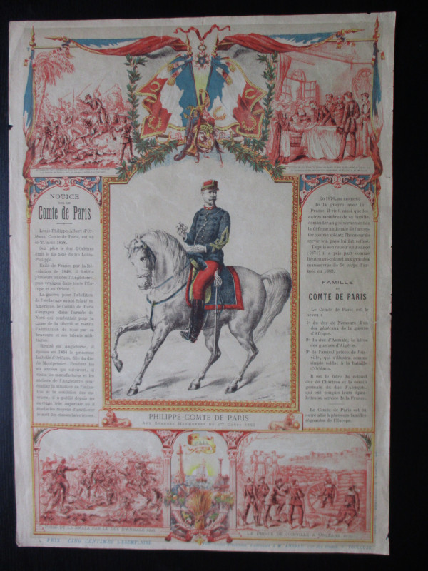
French Royalist Publicity Poster Philippe Comte de...
Philippe Comte de Paris
Thomas and Conferon
£45.00
Offered by Arthur Hook
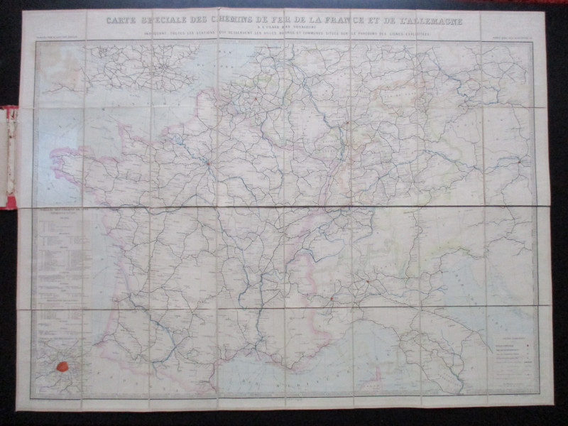
La République Française en LXXXVIII départemens: d...
Une Societé de Geographes
Une Societé de Geographes
£450.00
Offered by Arthur Hook
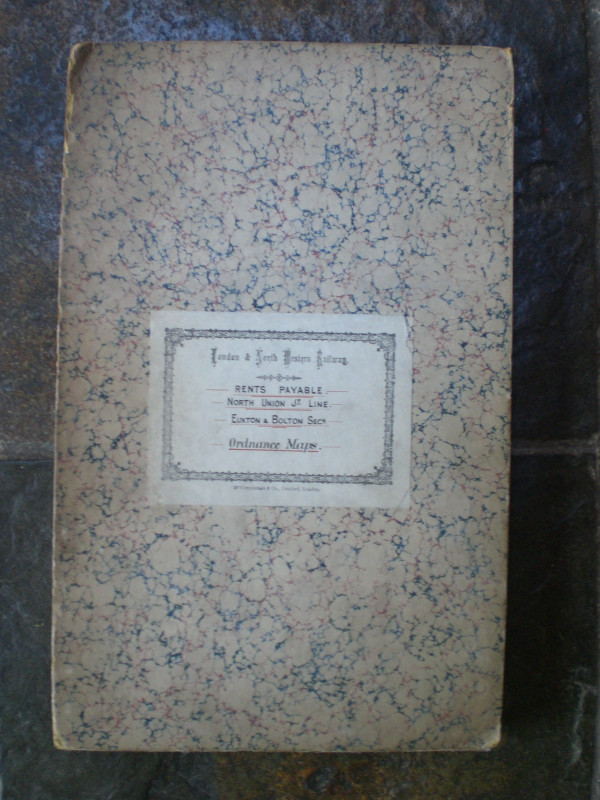
London and North Western Railway: Bolton and Chorl...
LNWR
London and North Western Railway
£145.00
Offered by Arthur Hook
Friends of the PBFA
For £10 get free entry to our fairs, updates from the PBFA and more.
Please email info@pbfa.org for more information