Map of Malta

Book Description
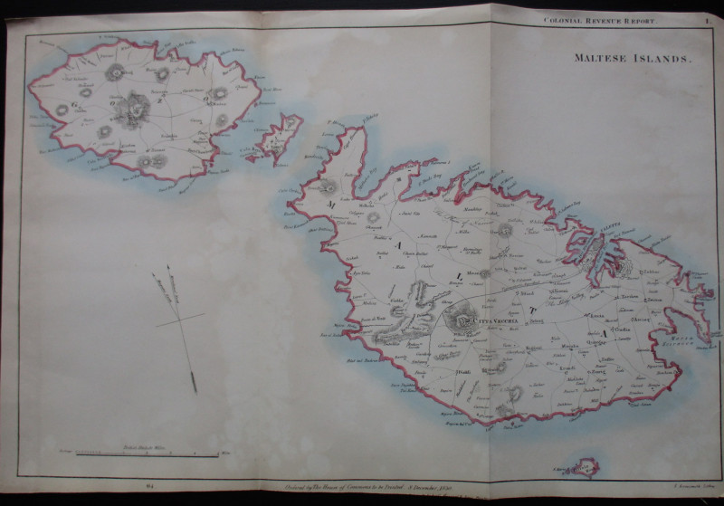
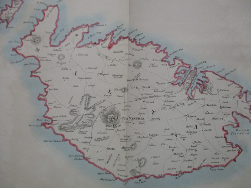
Map of the Maltese Islands engraved and published by Arrowsmith for the Colonial Revenue Report, London December 1830. On paper size 52 by 34 cm. Scale one and a half miles to the inch. A detailed map with towns, villages, roads, forts etc. Heights shown by shading or hachuring. Some hand-colouring. Has been folded. Some minor offsetting. Good to VG condition.
Author
Arrowsmith
Date
1830
Publisher
House of Commons
Illustrator
Arrowsmith
Condition
Good to VG
Other books
If you liked the book you've just seen, you might be interested in other books from the same dealer below.

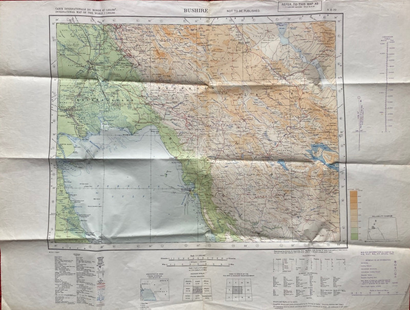
Map of Bushire (Persian Gulf) 1942
British War Office
British War Office
£75.00
Offered by Arthur Hook
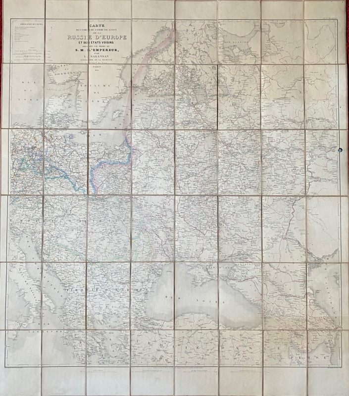
Map of European Russia and neighbouring states 185...
Sagansan
Avril Frėres
£185.00
Offered by Arthur Hook
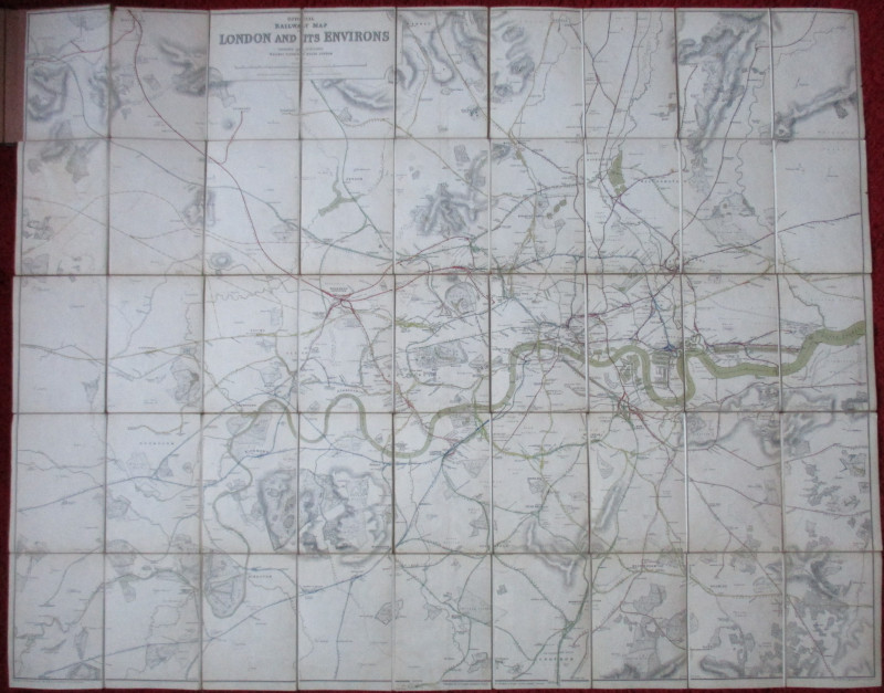
Official Railway Clearing House Map of London and...
Emslie
Railway Clearing House
£220.00
Offered by Arthur Hook
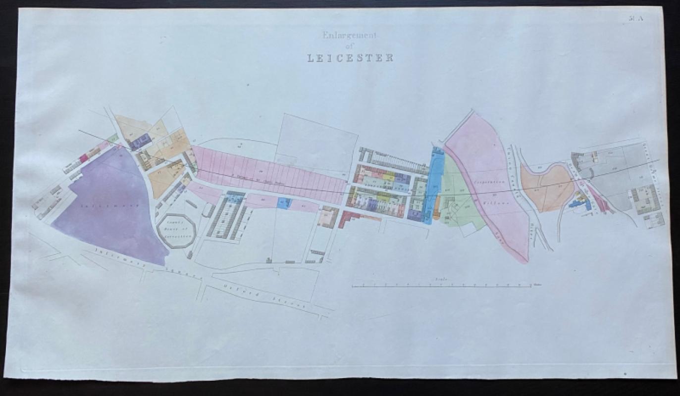
Map of Leicester, including the County House of Co...
Rennie
Arrowsmith
£75.00
Offered by Arthur Hook
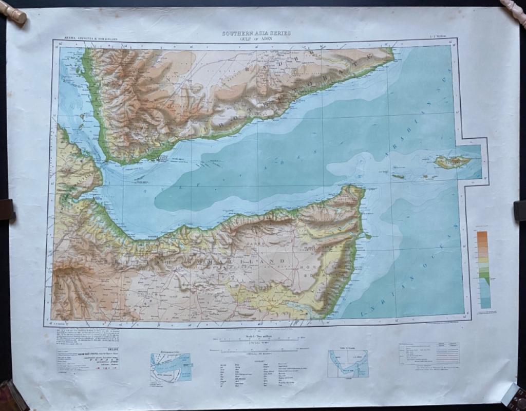
Map of The Gulf of Aden with parts of Arabia, Abys...
Couchman
Survey of India
£50.00
Offered by Arthur Hook
Scenes of Commerce by Land and Sea or Where Does i...
Taylor
Grant and Grffith
£45.00
Offered by Arthur Hook
Friends of the PBFA
For £10 get free entry to our fairs, updates from the PBFA and more.
Please email info@pbfa.org for more information