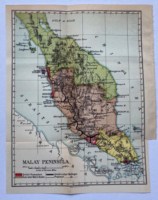
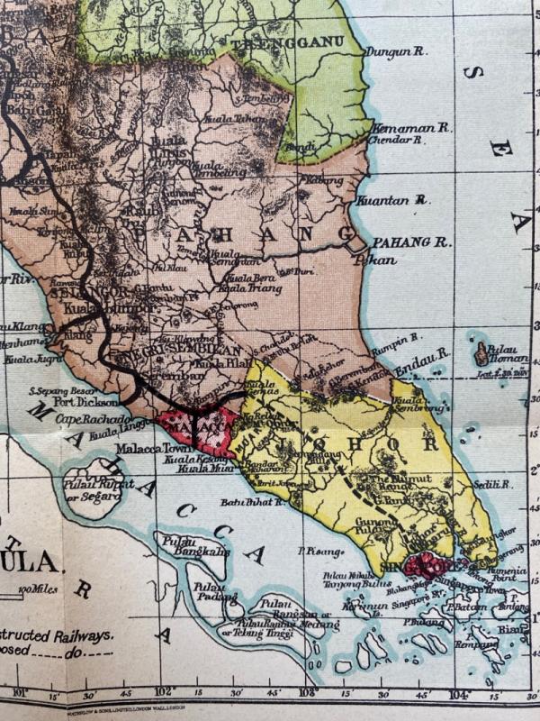
Map of the Malay Peninsula 1908
Book Description
Map of the Malay Peninsula, published and printed by Waterlow, London for the British Colonial Office 1908. On paper size 27 by 21 cm. Scale 50 miles to the inch. Colour. With a key to British Possessions, Federated Native States, constructed railways and to railways under construction. The rail link between Butterworth and Singapore has only been opened as far as Port Dickson in the south. Heights are shown by shading or hachuring. VG condition.
Author
Waterlow
Date
1908
Publisher
Waterlow
Condition
VG
Other books
If you liked the book you've just seen, you might be interested in other books from the same dealer below.
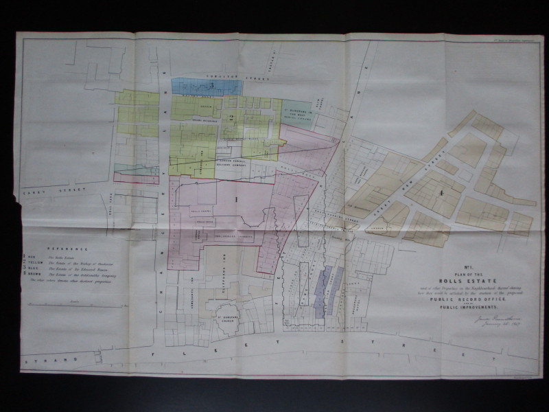
Four Plans for the development of the Central Lond...
Pennethorne
Hansard
£125.00
Offered by Arthur Hook
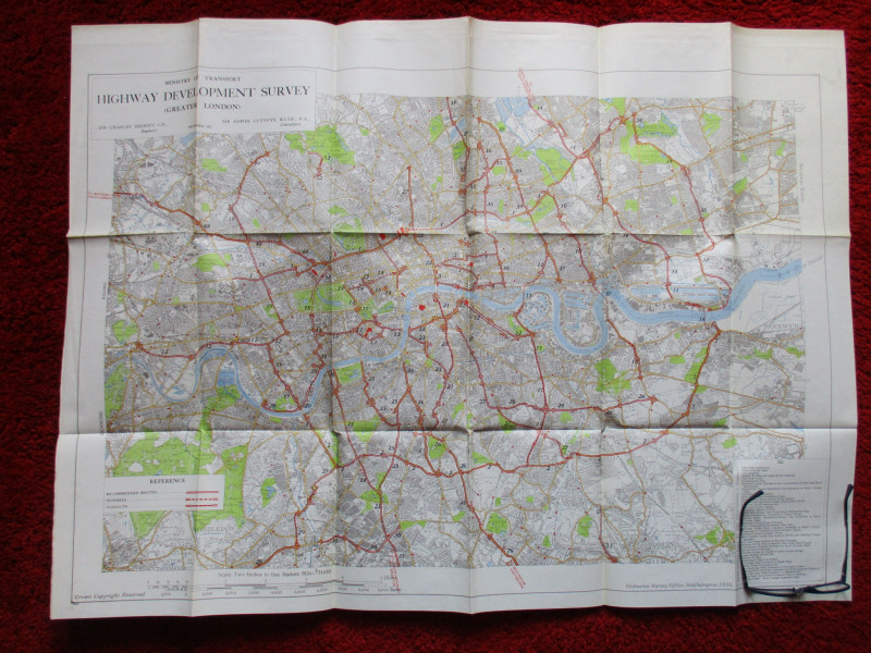
Ministry of Transport Highway Development Survey 1...
Bressey & Lutyens.
HMSO
£90.00
Offered by Arthur Hook
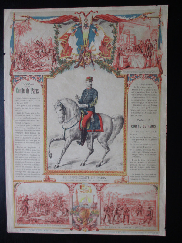
French Royalist Publicity Poster Philippe Comte de...
Philippe Comte de Paris
Thomas and Conferon
£45.00
Offered by Arthur Hook
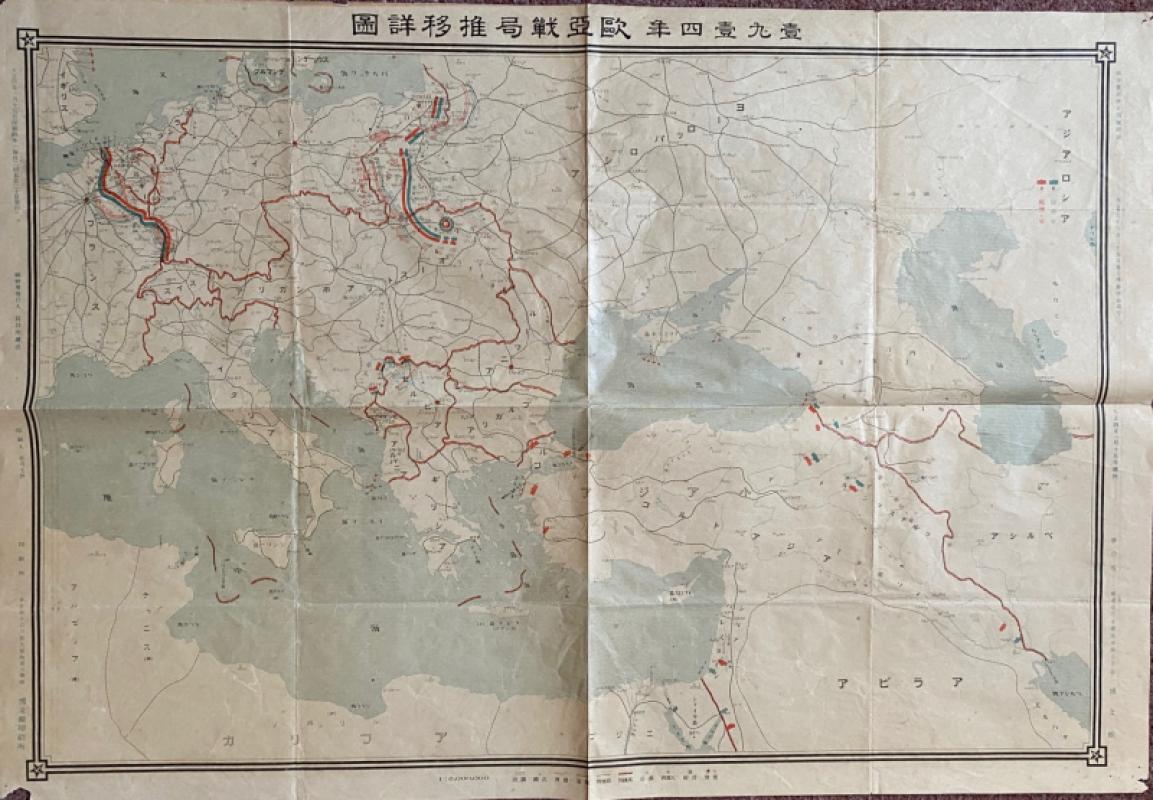
Japanese Map of the First World War in Europe and...
Hasegawa
Scichisaku
£75.00
Offered by Arthur Hook
Friends of the PBFA
For £10 get free entry to our fairs, updates from the PBFA and more.
Please email info@pbfa.org for more information