An Accurate Map of England and Wales 1760

Book Description
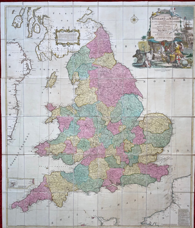
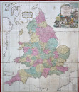
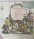
An Accurate Map of England and Wales drawn from all the particular surveys hitherto published illustrated with many additional improvements and regulated by numerous astronomical observations made by members of the Royal Society the places being marked where observations are made by Thomas Kitchin. Published by Carrington Bowles London 1760. On folding linen in 48 sections size 121 by 104 cm. Scale 69 miles to a degree or approximately eleven miles to the inch. Includes a small inset map of the Isles of Scilly. With an attractive decorative cartouche above a large vignette depicting the wealth power and resources of the nation. Hand-coloured. VG condition. Folds into original marbled slipcase that bears the bookplate of Sir Henry Wilson. Slipcase Good condition with some rubbing.
Author
Kitchin
Date
1760
Binding
Folds into slipcase
Publisher
Carrington Bowles
Condition
VG
Other books
If you liked the book you've just seen, you might be interested in other books from the same dealer below.
Epitome of the Ancient History of Japan with illus...
McLeod
Rising Sun Office
£200.00
Offered by Arthur Hook
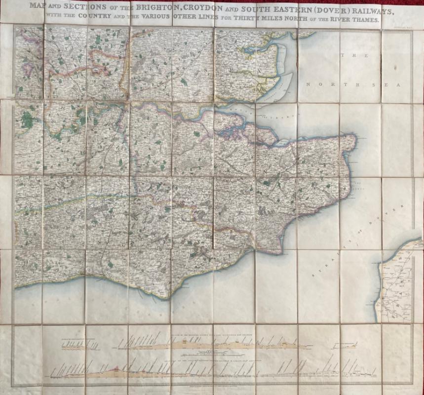
Map and Sections of the Brighton, Croydon and Sout...
Jobbins
Jobbins
£275.00
Offered by Arthur Hook
A Prospect of the Cathedral and College of Winches...
Sayer
Strand Magazine
£35.00
Offered by Arthur Hook
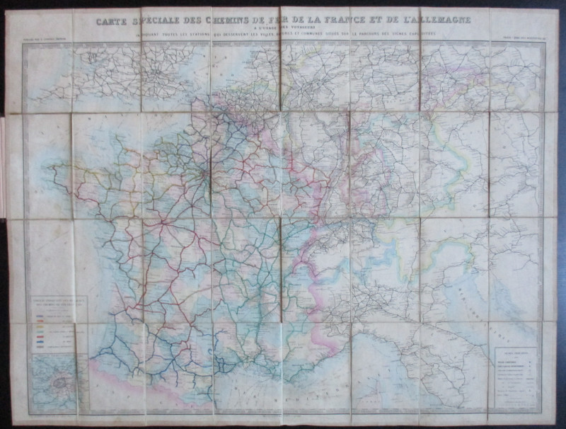
Carte Generale des Chemins de la France et de l’Al...
Vuillemin
Logerot
£70.00
Offered by Arthur Hook
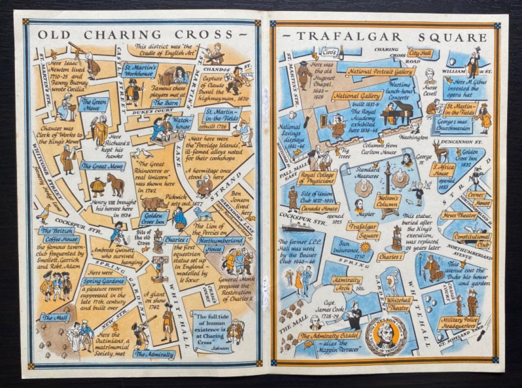
Two Maps of Charing Cross so displayed that the Ch...
Sayer
Strand Magazine
£35.00
Offered by Arthur Hook
Map of the British Colonies in North America
Russell
Rivington, Wilkie and others
£100.00
Offered by Arthur Hook
Friends of the PBFA
For £10 get free entry to our fairs, updates from the PBFA and more.
Please email info@pbfa.org for more information