A Map of the Country Eleven Miles Round the City of Bristol
Book Description
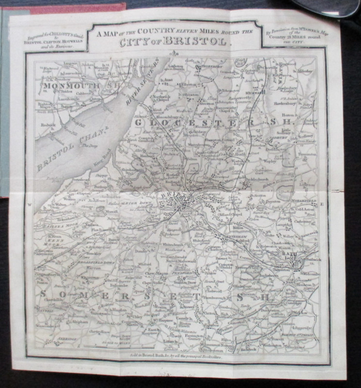
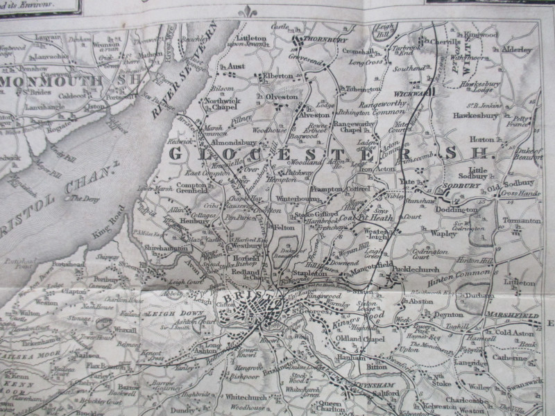
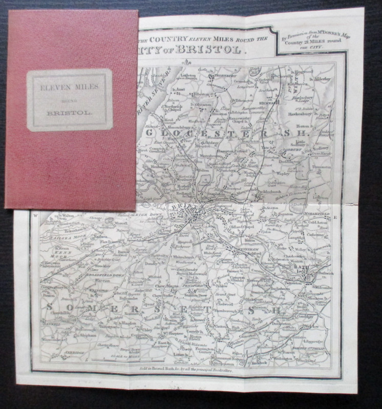
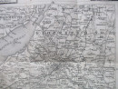
A Map of the Country Eleven Miles Round the City of Bristol engraved for Chilcott’s Guide to Bristol, Clifton and Hotwells and published by Chilcott, Bristol circa 1845. On paper size 25 by 23 cm. Scale 3 miles to the inch. Uncoloured. The early railways and canals have been included in this edition of the map, which seems to have been published separately from Chilcott’s book. Heights shown by shading or hachuring. A detailed map in VG to Mint condition. Folds into stiff boards with the title to the front.
Author
Chilcott
Date
1845
Publisher
Chilcott
Illustrator
Chilcott
Condition
VG
Other books
If you liked the book you've just seen, you might be interested in other books from the same dealer below.
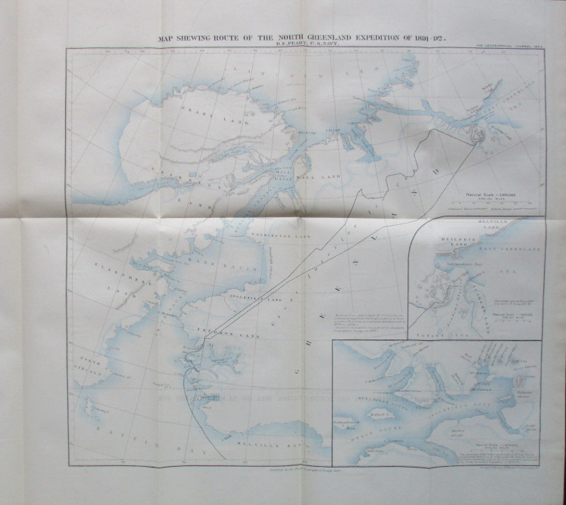
Map Shewing Route of the North Greenland Expeditio...
Peary
Royal Geographical Society
£55.00
Offered by Arthur Hook
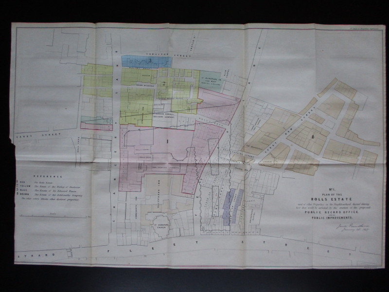
Four Plans for the development of the Central Lond...
Pennethorne
Hansard
£125.00
Offered by Arthur Hook
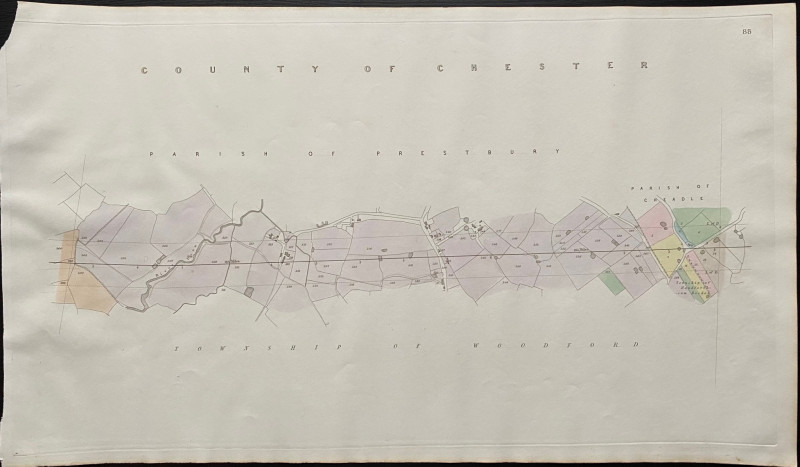
Map of the Parish of Prestbury to the Parish of Ch...
Rennie
Arrowsmith
£35.00
Offered by Arthur Hook
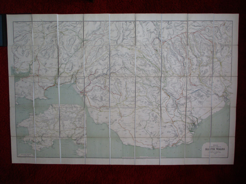
Railway Clearing House Map of South Wales 1926
Emslie
Railway Clearing House
£125.00
Offered by Arthur Hook
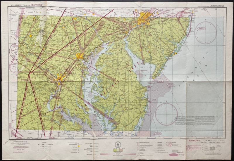
Map of Washington Air Defence Zone 1942
Colbert
US Coast and Geodetic Survey
Reserved
Offered by Arthur Hook
Friends of the PBFA
For £10 get free entry to our fairs, updates from the PBFA and more.
Please email info@pbfa.org for more information