Railway Clearing House Map of South Wales 1926
Book Description
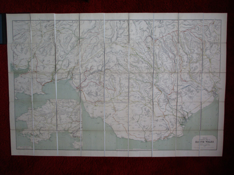
Railway Clearing House Map of South Wales, published by the Railway Clearing House London 1926. Drawn and engraved by Emslie. On folding linen in 50 sections, size 148 by 93 cm. Scale one inch to the mile. Lines are colour-coded to show those of the GWR and London Midland and Scottish companies. The names of the other companies are also printed by their own lines. Heights shown by hachuring or shading. An inset map shows the south western part of Wales. This edition is in exceptionally Good condition although it appears to be as published- without boards, but with the title on a label to the front.
Author
Emslie
Date
1926
Publisher
Railway Clearing House
Condition
Good to VG
Other books
If you liked the book you've just seen, you might be interested in other books from the same dealer below.
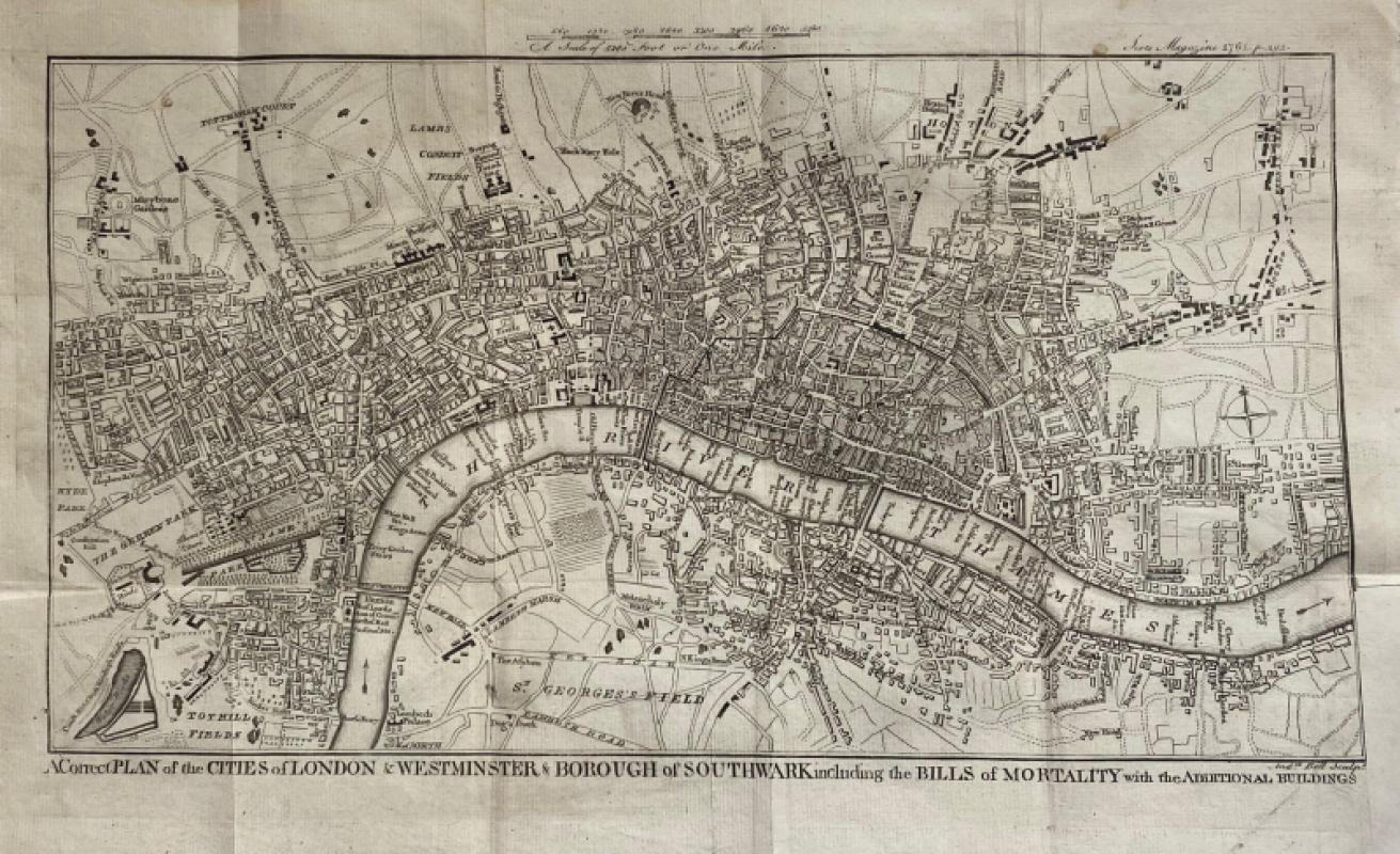
A Correct Plan of the Cities of London and Westmin...
Rocque
The Scots Magazine
Reserved
Offered by Arthur Hook
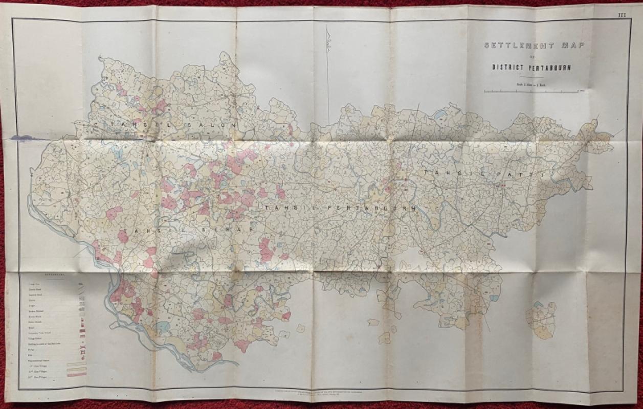
Settlement Map of District Pertabgurh (Pratapgarh...
Survey of India
Survey of India
£100.00
Offered by Arthur Hook
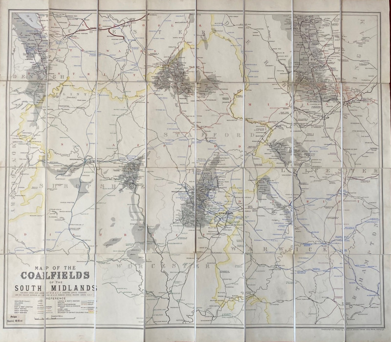
Map of the Coalfields of the South Midlands circa...
Johnston
Johnston
£100.00
Offered by Arthur Hook
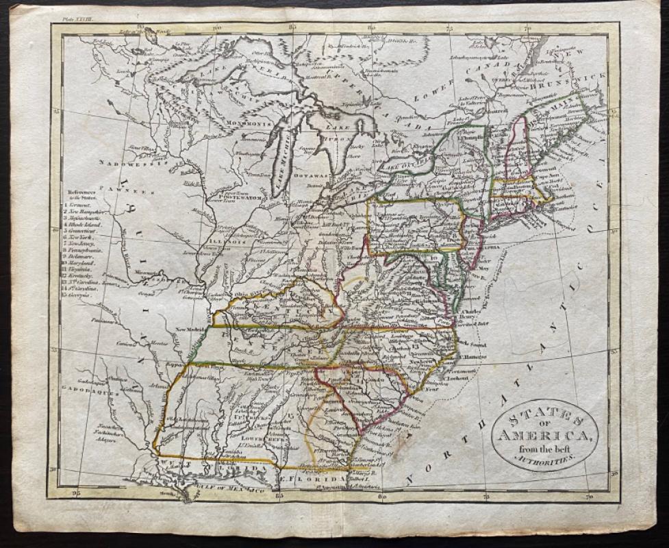
Map of States of America from the Best Authorities
Russell
Rivington, Wilkie and others
£120.00
Offered by Arthur Hook
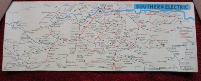
London Railway Map Carriage Print. Southern Electr...
Southern Electric
Southern Electric
£90.00
Offered by Arthur Hook
Friends of the PBFA
For £10 get free entry to our fairs, updates from the PBFA and more.
Please email info@pbfa.org for more information