Trench Map of the Arras area France 1917


Book Description
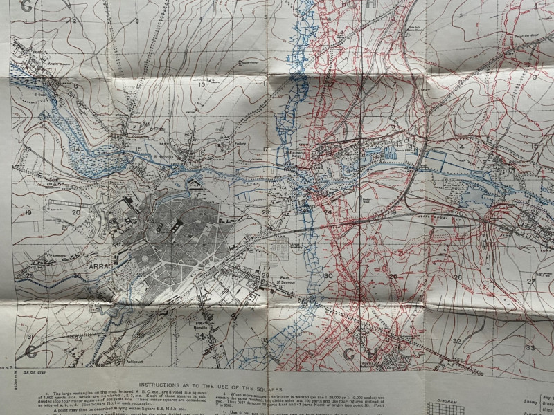
Trench Map: Arras area. France Sheet 51B NW, edition 6 A. Published by the Ordnance Survey March 1917. According to an addition in the top margin of the map it contains information corrected to 4-3-17. Coded in the bottom l/h corner GS GS 2742. On folding linen size 90 by 65 cm. Scale 1:20,000. Includes the town of Arras and the nearby villages of Thelus and Biache St. Vaast. Key includes information on British and enemy trenches, entanglements, ground cut up by artillery fire, mine craters, etc. Original owner’s name in ink to front cover. The owner served in the Durham Light Infantry and the Northumberland Fusiliers., and was wounded in France VG condition with small nick to end of one fold outside the margins of the map
Author
Ordnance Survey for British General Staff
Date
1917
Binding
Folding maps on cloth
Publisher
Ordnance Survey for British General Staff
Condition
VG
Other books
If you liked the book you've just seen, you might be interested in other books from the same dealer below.
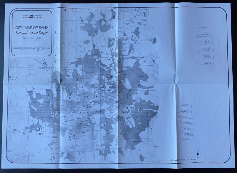
Republic of Yemen City Map of Sana
Survey Authority Sana
Survey Authority Sana
£110.00
Offered by Arthur Hook
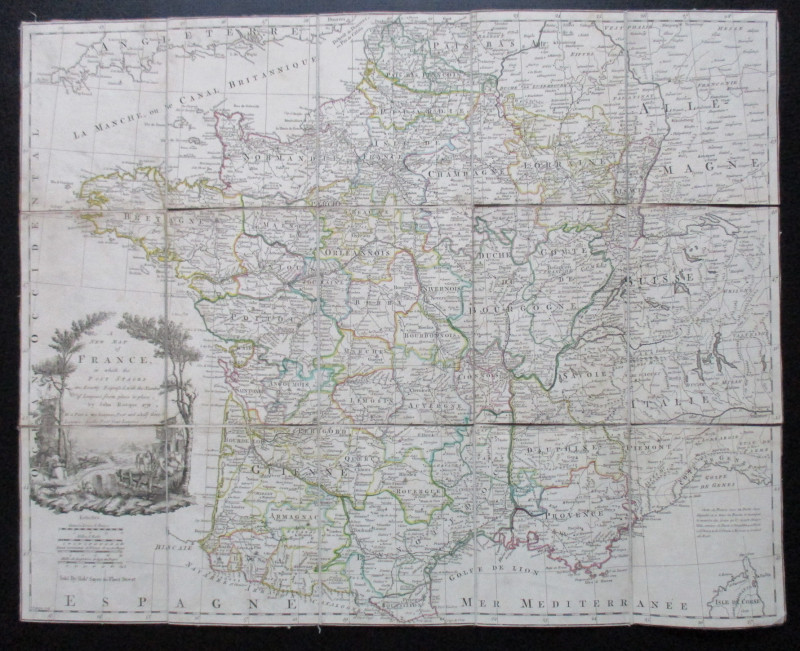
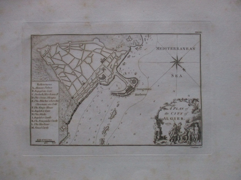
A New Map of France in which the Post Stages are E...
Rocque
Rocque and Sayer
£295.00
Offered by Arthur Hook
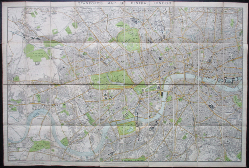
Four Plans for the development of the Central Lond...
Pennethorne
Hansard
£125.00
Offered by Arthur Hook
LNER General Strike Newsletter 1926
London and North Eastern Railway
London and North Eastern Railway
£50.00
Offered by Arthur Hook
Friends of the PBFA
For £10 get free entry to our fairs, updates from the PBFA and more.
Please email info@pbfa.org for more information