Stanford’s Map of Central London
Book Description
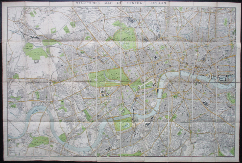
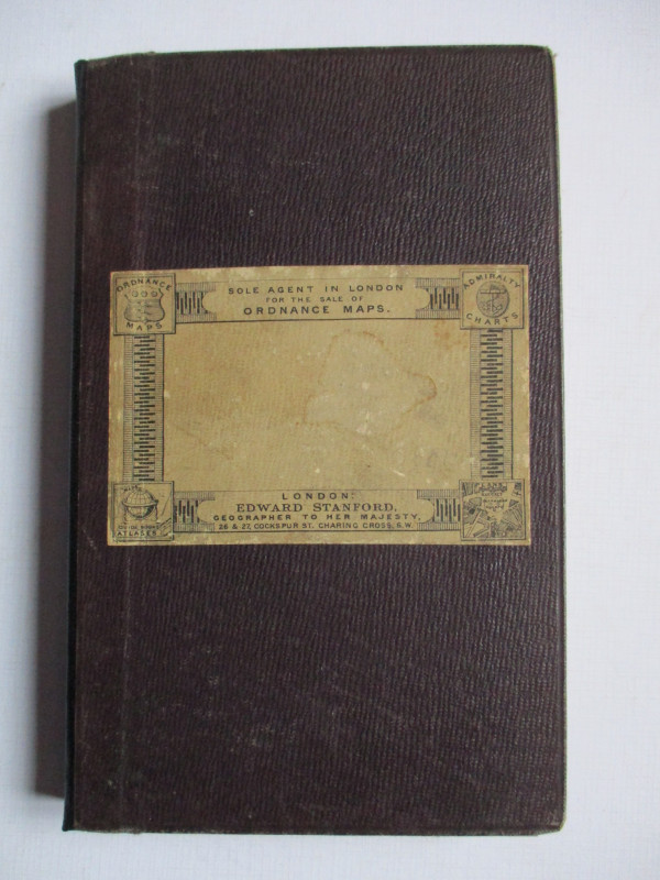
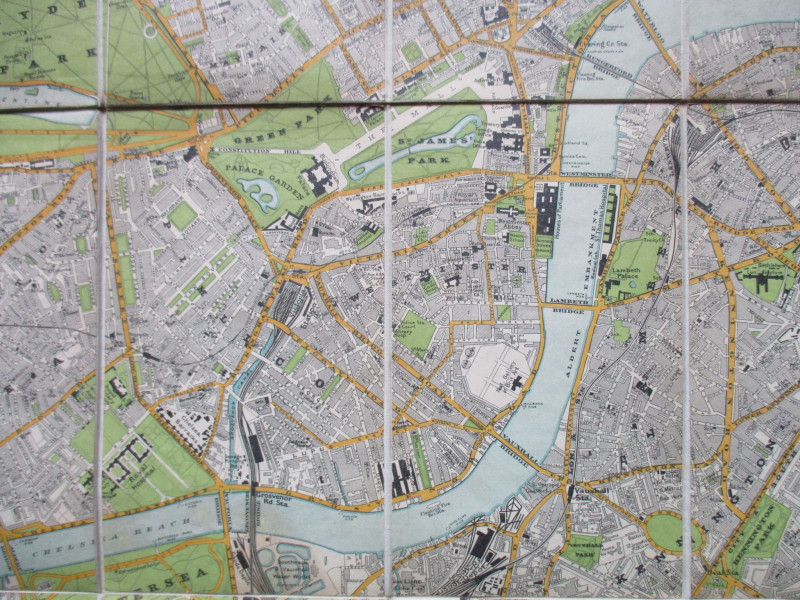
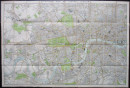
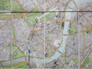
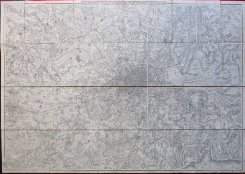
Stanford’s Map of Central London, published by Stanford, London circa 1895. On folding linen in 40 sections, size 102 by 68 cm. Scale four inches to the mile. Colour. A very detailed map of late nineteenth century London. Covers an area from Willesden across to Hackney in the north and from East Sheen across to Peckham Rye and Nunhead in the south. The site of the Tate Gallery is shown as awaiting development after the demolition of the old penitentiary. Folds into original stiff boards. The original spine has been professionally repaired. VG condition.
Author
Stanford
Date
1895
Binding
Linen backed
Publisher
Stanfords
Condition
VG
Other books
If you liked the book you've just seen, you might be interested in other books from the same dealer below.
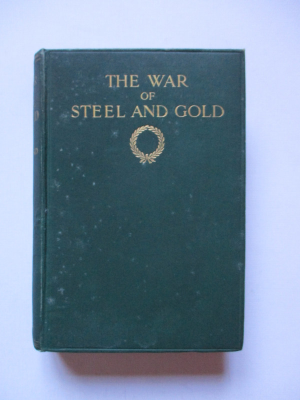
The War of Steel and Gold- Bertrand Russell Signed...
Brailsford
Bell
£450.00
Offered by Arthur Hook
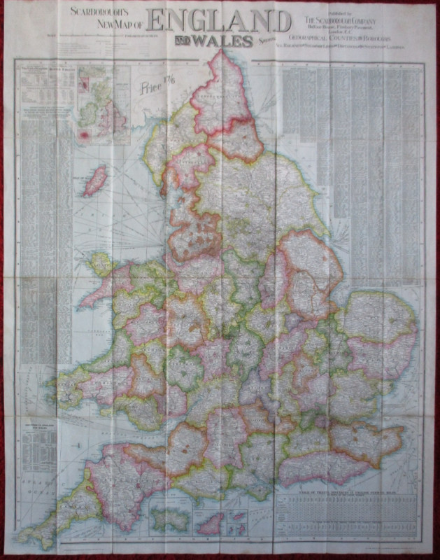
Scarborough’s Map of the British Isles shewing Geo...
Anon
Scarborough Company
£105.00
Offered by Arthur Hook

Friends of the PBFA
For £10 get free entry to our fairs, updates from the PBFA and more.
Please email info@pbfa.org for more information