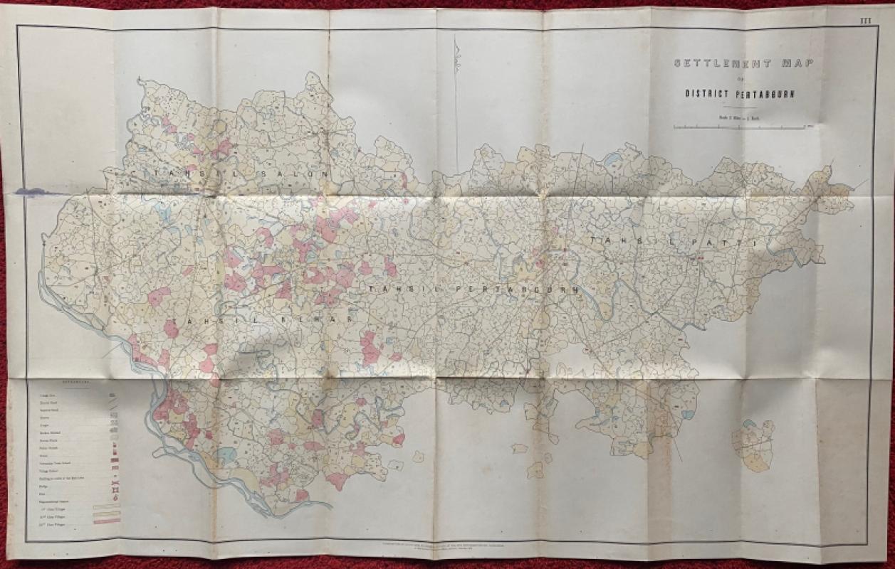
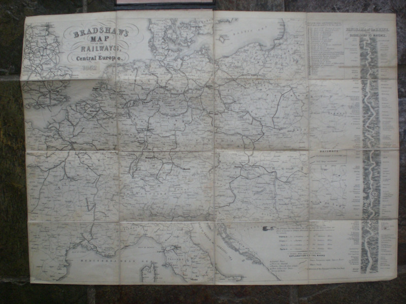
Settlement Map of District Pertabgurh (Pratapgarh in Uttar Pradesh) 1873
Book Description
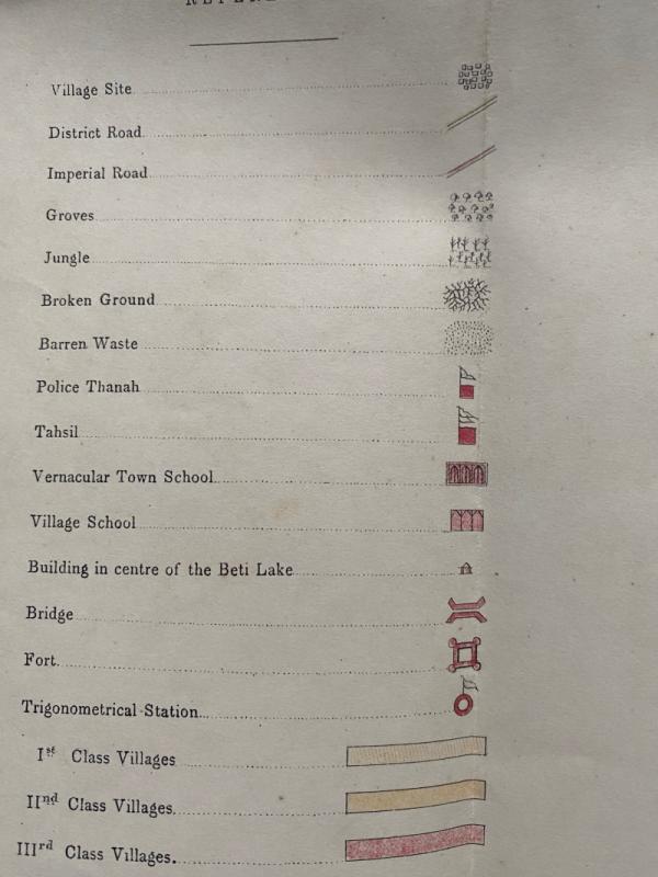
Settlement Map of District Pertabgurh (Pratapgarh in Uttar Pradesh) published by the Survey of India, Calcutta February 1873. Lithographed in colour with information supplied by the OFFG Settlement Officer Pertabgurh. On stiff good quality paper size 104 by 64.5 cm. Scale 2 miles to the inch. With a key to 18 features that include police thanah, forts, roads, jungle, vernacular town schools, village schools and three categories of villages. A very detailed and unusual map. Has been folded. Repairs to one fold at the reverse with archival quality paper. Good condition.
Author
Survey of India
Date
1873
Publisher
Survey of India
Condition
Good
Other books
If you liked the book you've just seen, you might be interested in other books from the same dealer below.
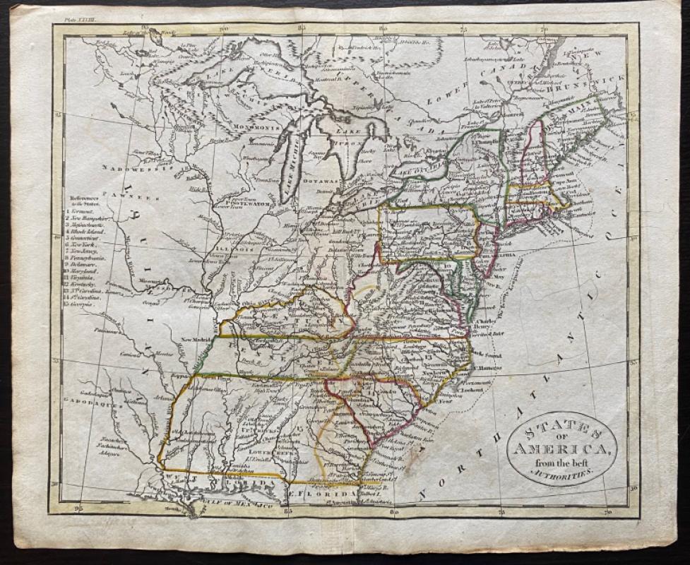
Map of States of America from the Best Authorities
Russell
Rivington, Wilkie and others
£120.00
Offered by Arthur Hook
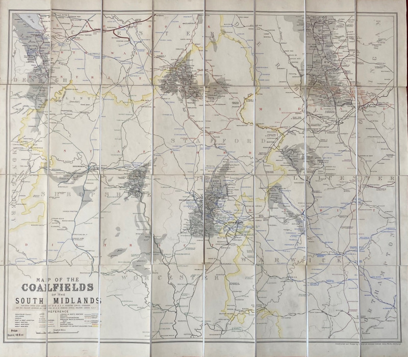
Map of the Coalfields of the South Midlands circa...
Johnston
Johnston
£100.00
Offered by Arthur Hook
Friends of the PBFA
For £10 get free entry to our fairs, updates from the PBFA and more.
Please email info@pbfa.org for more information