Cruchley’s New Map of the Railways of England and Scotland
Book Description
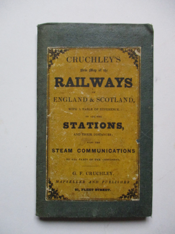
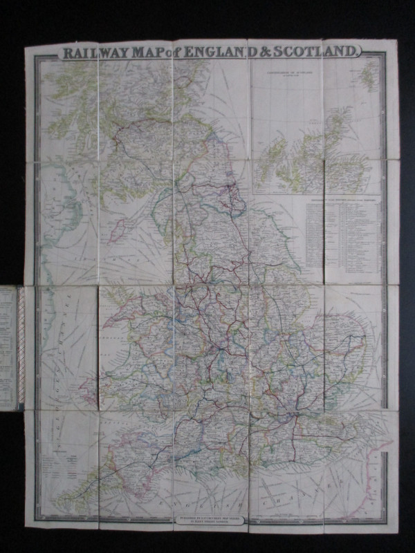
Cruchley’s New Map of the Railways of England and Scotland, published by Cruchley, London 1848. On folding linen in 20 sections, size 70 by 53 cm. Scale 20 miles to the inch. Hand-coloured. With an inset map of the north of Scotland. There is a key that provides a reference to 76 different lines and companies, and a second key to lines in operation, in progress and projected. Lacks part of the table of reference to stations and the distance chart, which would have been on paper inside the covers. Map in Good to VG condition.
Author
Cruchley
Date
1848
Publisher
Cruchley
Illustrator
Cruchley
Condition
Good to VG
Other books
If you liked the book you've just seen, you might be interested in other books from the same dealer below.
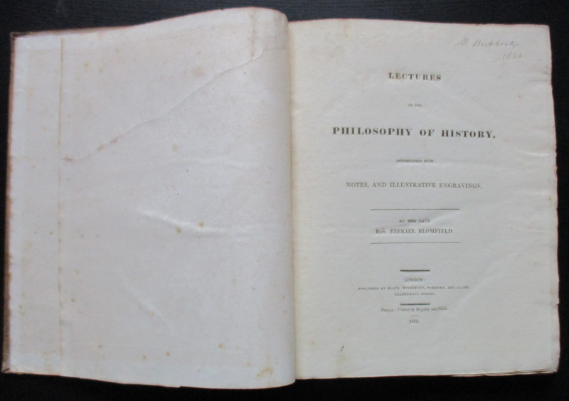
Lectures on the Philosophy of History
Blomfield
Black, Kingsbury, Parbury and Allen
£235.00
Offered by Arthur Hook
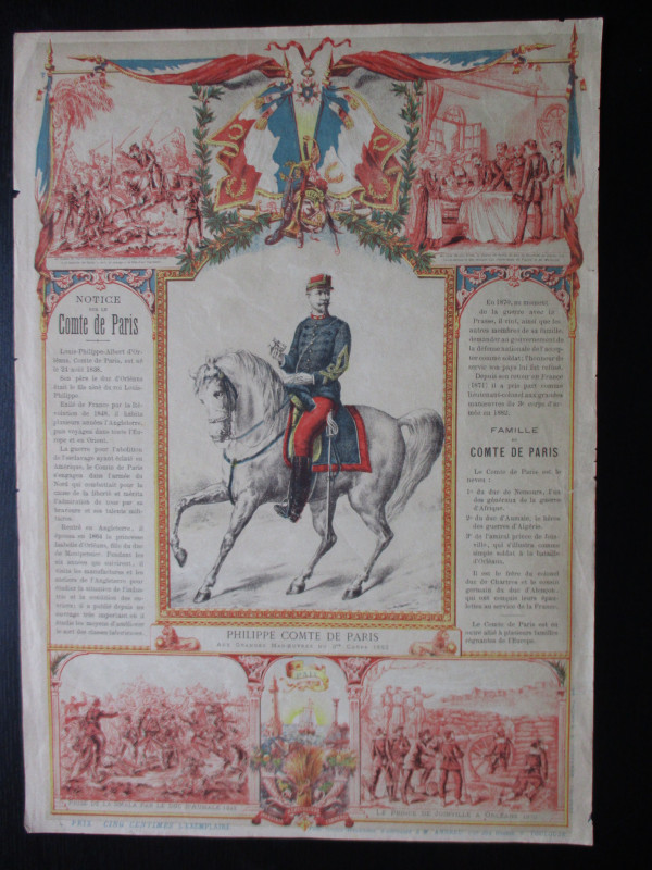
French Royalist Publicity Poster Philippe Comte de...
Philippe Comte de Paris
Thomas and Conferon
£45.00
Offered by Arthur Hook

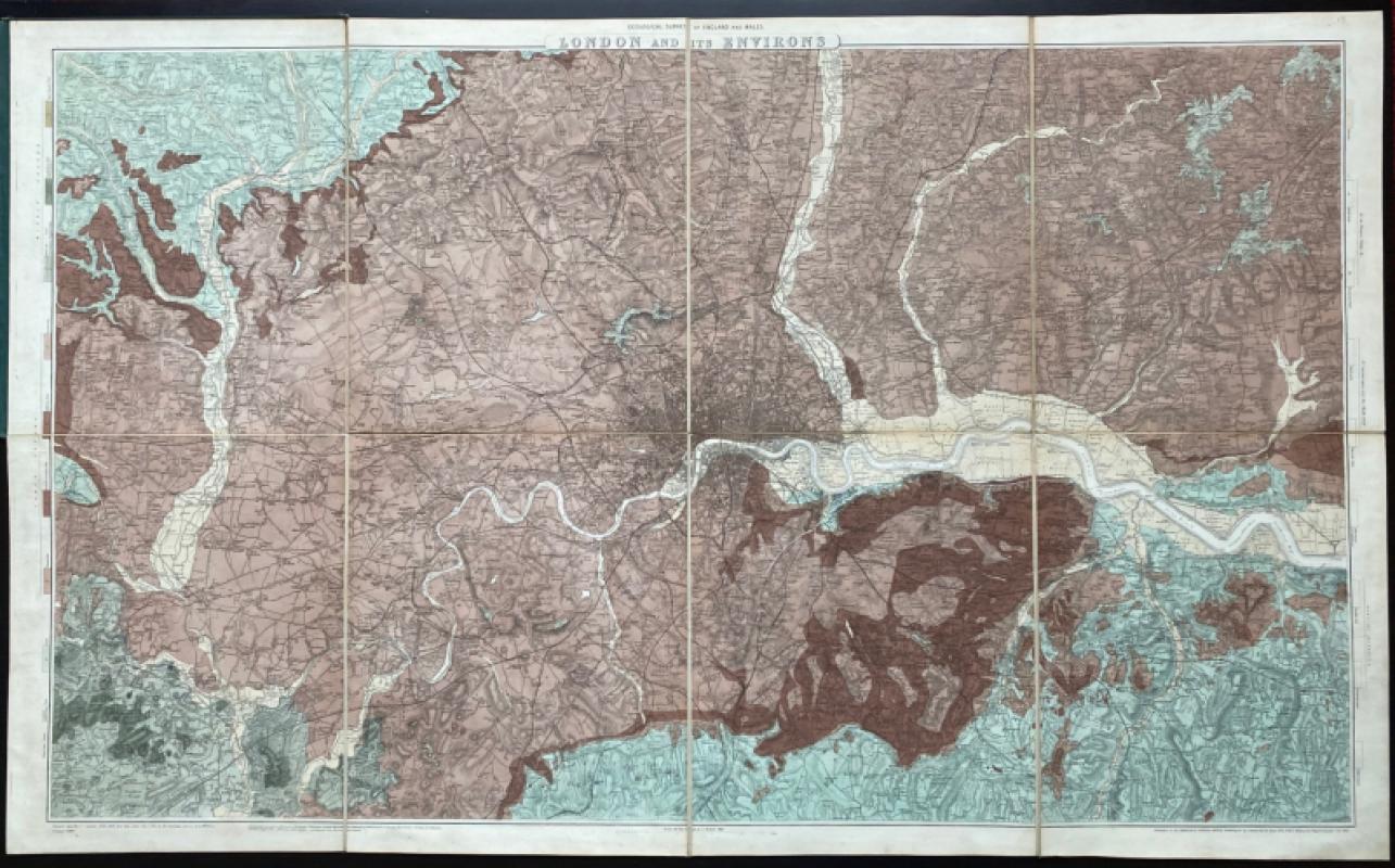
Geological Survey of England and Wales: two maps o...
James
Ordnance Survey
£675.00
Offered by Arthur Hook
The Channel Tunnel or Submarine Railway between En...
Anon
Channel Tunnel Company
£85.00
Offered by Arthur Hook
Friends of the PBFA
For £10 get free entry to our fairs, updates from the PBFA and more.
Please email info@pbfa.org for more information