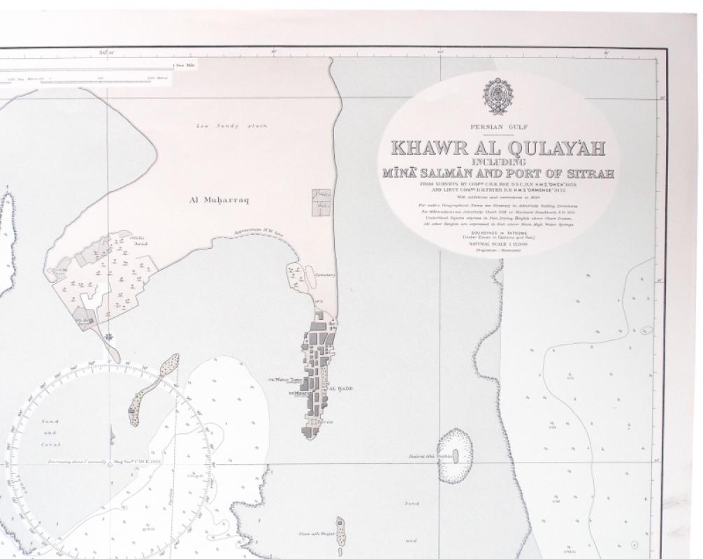
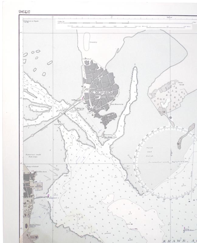
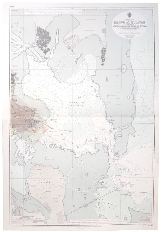
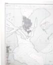
Persian Gulf. Khawr al Qulay‘ah including Míná Salmán and Port of Sitrah. From Surveys by Comdr. C. R. K. Roe D.S.C., R.N. H.M.S. “Owen” 1959. With additions and corrections to 1964 [1973].
Book Description
Dealer Notes
Other books
If you liked the book you've just seen, you might be interested in other books from the same dealer below.
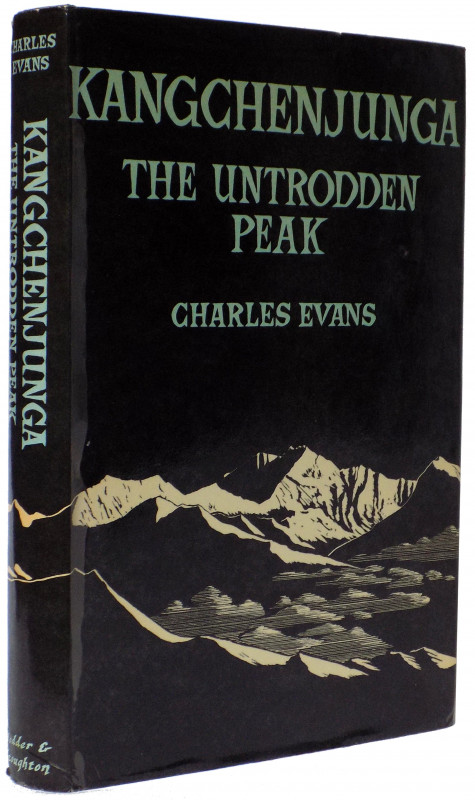
Kangchenjunga. The Untrodden Peak.
Evans, Charles.
London: Hodder & Stoughton
£950.00
Offered by Meridian Rare Books
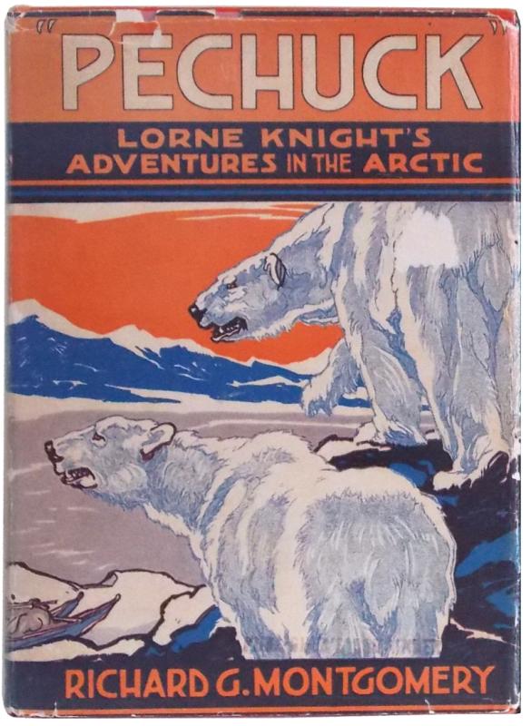
“Pechuck”. Lorne Knight's Adventures in the Arctic...
Montgomery, Richard G.
New York: Dodd, Mead and Company
£150.00
Offered by Meridian Rare Books
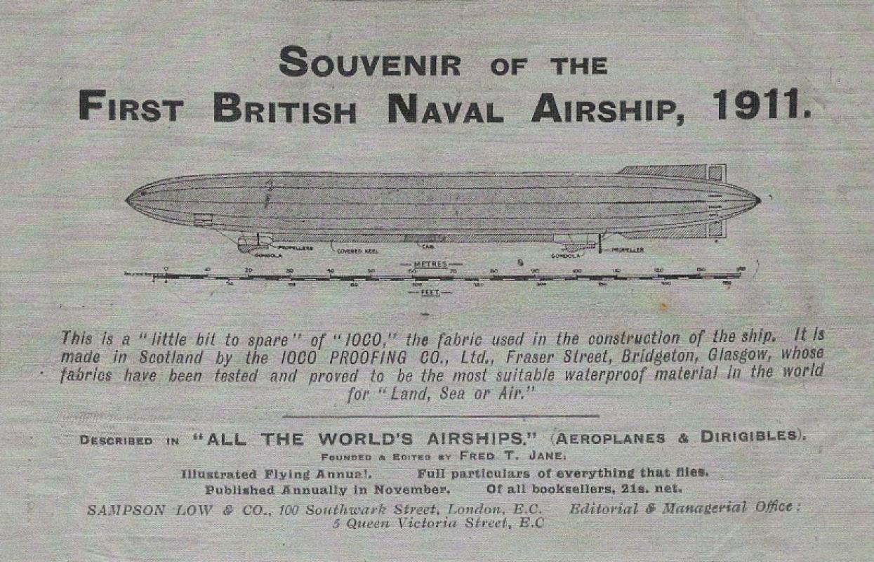
Souvenir of the First British Naval Airship, 1911.
[Mayfly.]
N.p. [?London]
£375.00
Offered by Meridian Rare Books
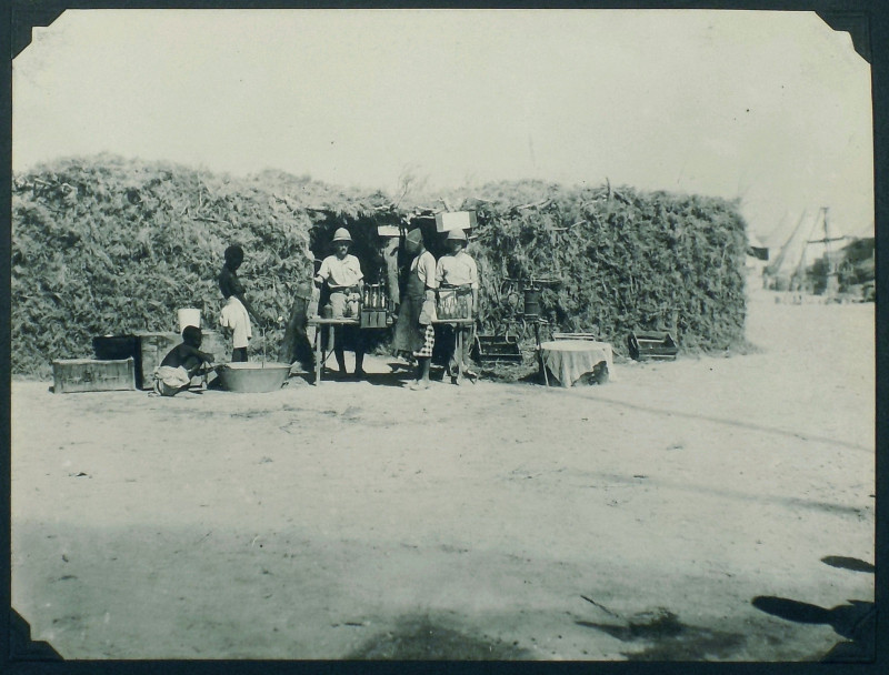
Somaliland Z Expedition: 1919-20 [so titled to upp...
[Somaliland. Photograph album.]
£875.00
Offered by Meridian Rare Books
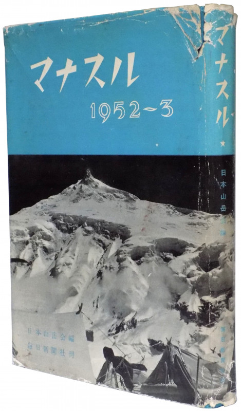
Manaslu 1952-3.
Japanese Alpine Club.
Tokyo: Mainichi Newspapers
£375.00
Offered by Meridian Rare Books
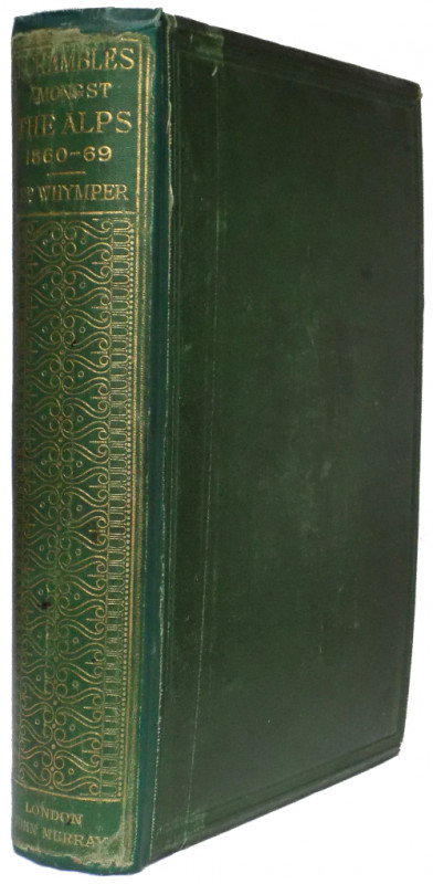
Scrambles amongst the Alps in the Years 1860-69.
Whymper, Edward.
London: John Murray
£575.00
Offered by Meridian Rare Books
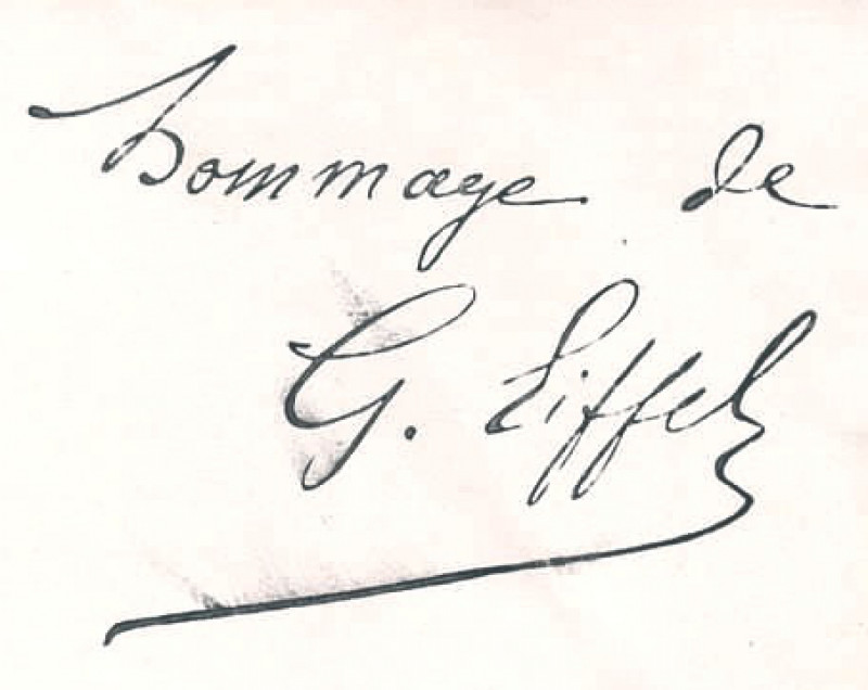
Les Observations Météorologiques du Weather Bureau...
Eiffel, G.
Paris: Imprimérie de la Société astronomique de France
£95.00
Offered by Meridian Rare Books
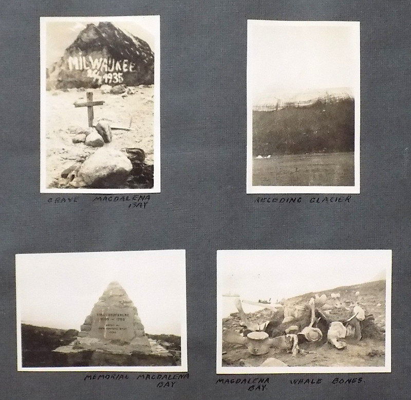
A personal photograph album recording holidays to...
[Photograph album.]
£175.00
Offered by Meridian Rare Books
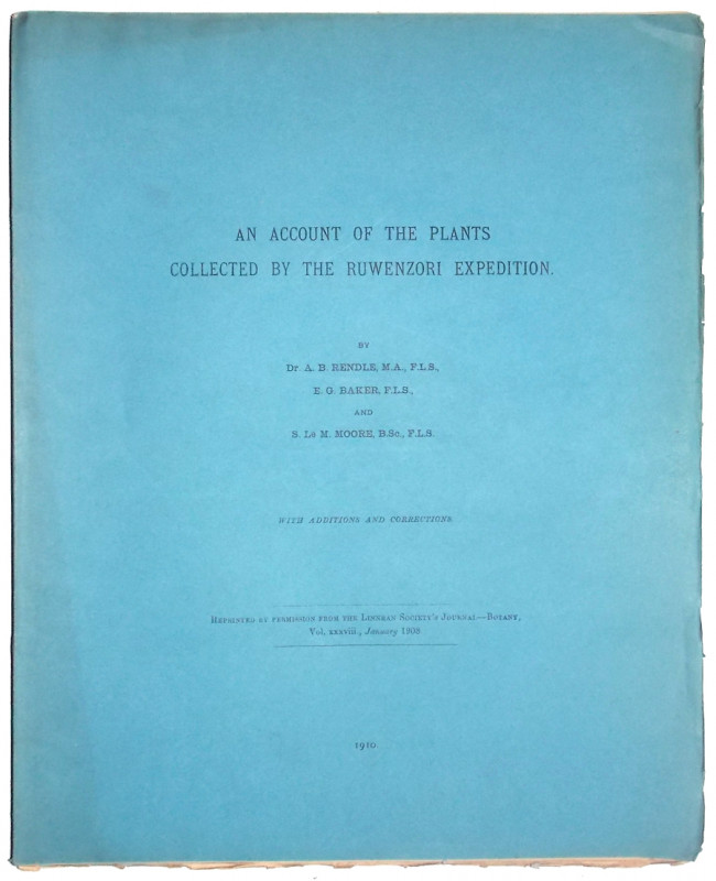
‘An Account of the Plants collected by the Ruwenzo...
Rendle, A. B., E. G. Baker & S. Le M. Moore.
£35.00
Offered by Meridian Rare Books
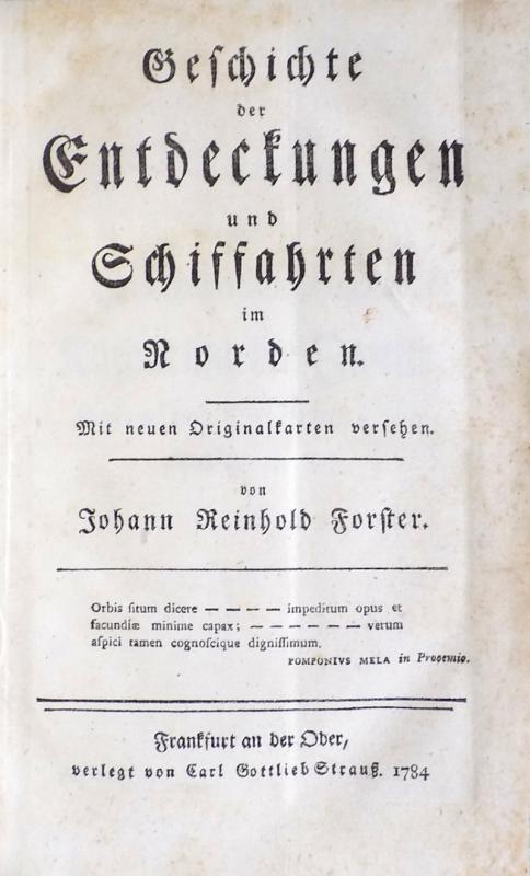
Geschichte der Entdeckungen und Schiffahrten im No...
Forster, Johann Reinhold.
Frankfurt an der Oder: Carl Gottlieb Strauss
£2950.00
Offered by Meridian Rare Books
Friends of the PBFA
Please email info@pbfa.org for more information