OS War Office Map of Syria and Lebanon 1942

Book Description
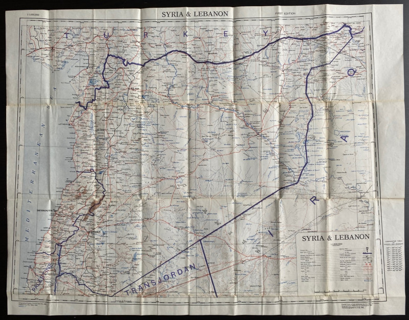
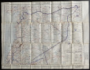
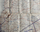
Map of Syria and Lebanon. Printed by the Ordnance Survey for the British War Office 1942 based on a French Survey of 1941 by l’Annexe de l’Institut Geographique Nationale au Levant. 1st edition. On paper size 83 by 63 cm. Scale 1;1,000,000. With a key to features including cities, towns, railways of various gauges, ruins, roads, aerodromes and emergency landing grounds, pipelines, Roman roads, wells and various types of track. Some colour. A detailed map in Vg condition. Has been folded.
Author
British War Office
Date
1942
Publisher
British War Office
Condition
VG
Other books
If you liked the book you've just seen, you might be interested in other books from the same dealer below.
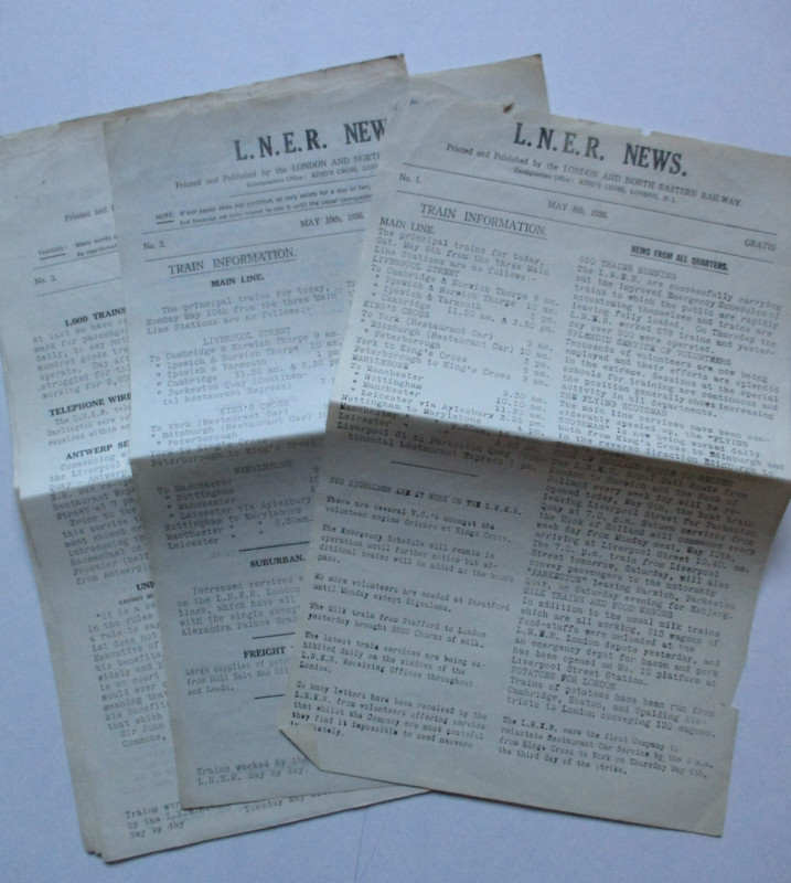
LNER General Strike Newsletter 1926
London and North Eastern Railway
London and North Eastern Railway
£50.00
Offered by Arthur Hook
The House Beautiful and Useful: Being practical su...
Elder-Duncan
Cassell
£85.00
Offered by Arthur Hook
Plan Shewing Improvements suggested in extension o...
Pennethorne
Hansard
£75.00
Offered by Arthur Hook
Map and Sections of the Brighton, Croydon and Sout...
Jobbins
Jobbins
£275.00
Offered by Arthur Hook
A New Map of France in which the Post Stages are E...
Rocque
Rocque and Sayer
£295.00
Offered by Arthur Hook
Friends of the PBFA
For £10 get free entry to our fairs, updates from the PBFA and more.
Please email info@pbfa.org for more information