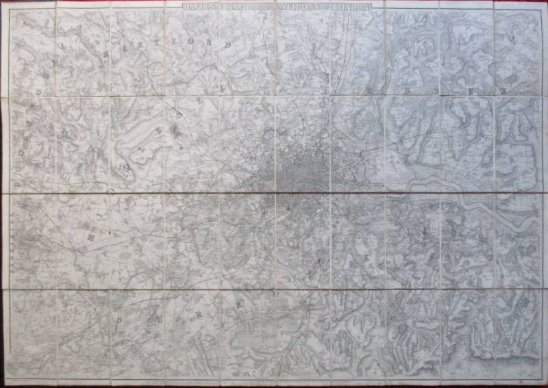
Mogg's Cab Fare Distance Map of London


Book Description
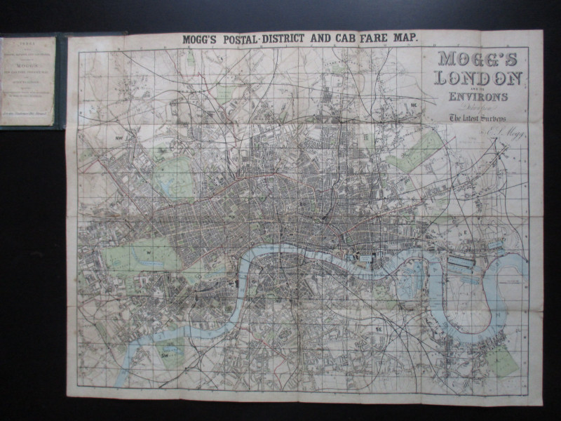
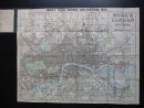
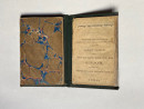
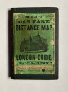
Mogg's Cab Fare Distance Map of London, also titled Mogg's London and its Environs drawn from the latest surveys, published by Mogg London circa 1860. On folding linen size 73 by 57 cm. Scale three inches to the mile. Folds into stiff boards with the title in an illustrated label to the front. Includes a street index and key to railway termini. New cloth spine. Good to VG condition
Author
Mogg
Date
1860
Binding
Folds into stiff boards
Publisher
Mogg
Condition
Good to VG
Other books
If you liked the book you've just seen, you might be interested in other books from the same dealer below.
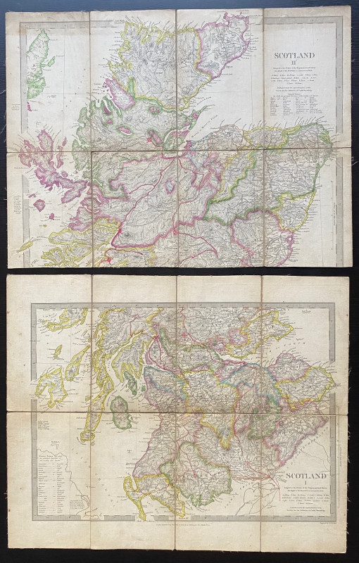
Map of Scotland with a Plan of Edinburgh 1834
Baldwin and Cradock
Baldwin and Cradock
£275.00
Offered by Arthur Hook

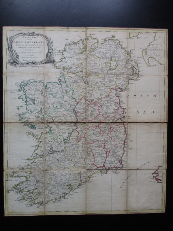
A New Map of the Kingdom of Ireland Divided into i...
Bayly
Carrington Bowles
£325.00
Offered by Arthur Hook
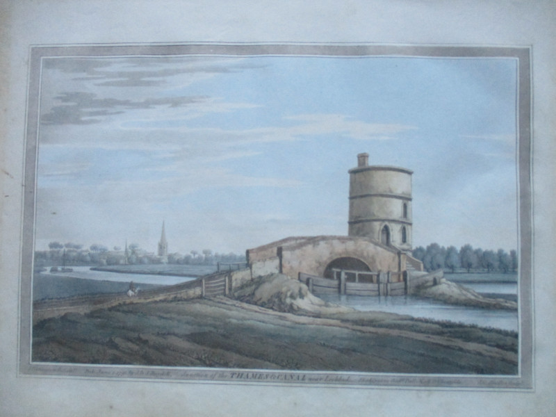
An engraving of the Junction of the Thames and Can...
Boydell.
Boydell
£50.00
Offered by Arthur Hook
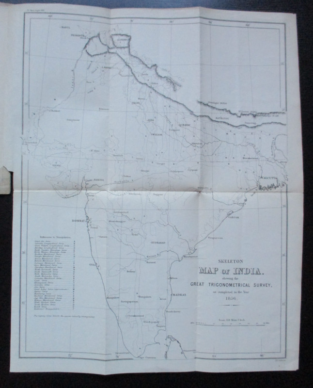
Geodesy; Especially Relating to the Great Trignome...
Strange
Royal United Institution
£45.00
Offered by Arthur Hook

Friends of the PBFA
For £10 get free entry to our fairs, updates from the PBFA and more.
Please email info@pbfa.org for more information