Official Railway Clearing House Map of London and its Environs 1899

Book Description
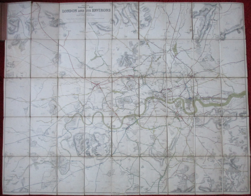
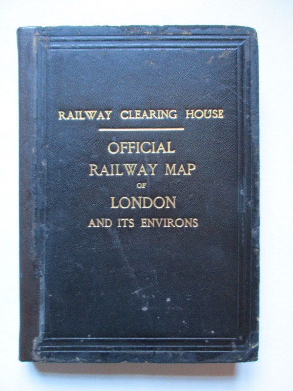
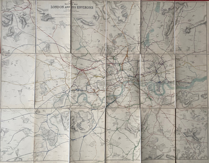
Official Railway Clearing House Map of London and its Environs engraved by J & W Emslie and published by the RCH London 1899. On folding linen in 45 sections. Size 127 by 103 cm. Scale two inches to the mile. Colour coded to indicate the various lines and the companies that owned them. Covers an area from Rickmansworth to Loughton in the north and from Walton and Hersham to Orpington in the south. London docks shown in detail. The endpapers have the stamp of the Great Eastern Railway and the date 1899. Heights indicated by hachuring. Folds into black boards with the title gold-stamped to the front. Replacement spine. Good to VG condition.
Author
Emslie
Date
1899
Binding
Stiff boards
Publisher
Railway Clearing House
Illustrator
Emslie
Condition
Good to VG
Other books
If you liked the book you've just seen, you might be interested in other books from the same dealer below.
The War of Steel and Gold- Bertrand Russell Signed...
Brailsford
Bell
£450.00
Offered by Arthur Hook
The Great Western Railway of England. Train servic...
GWR
Great Western Railway
£45.00
Offered by Arthur Hook
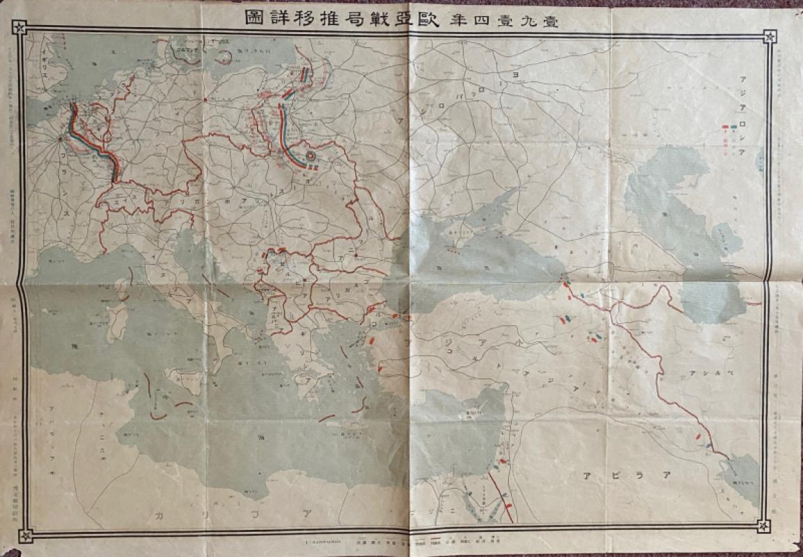
Japanese Map of the First World War in Europe and...
Hasegawa
Scichisaku
£75.00
Offered by Arthur Hook
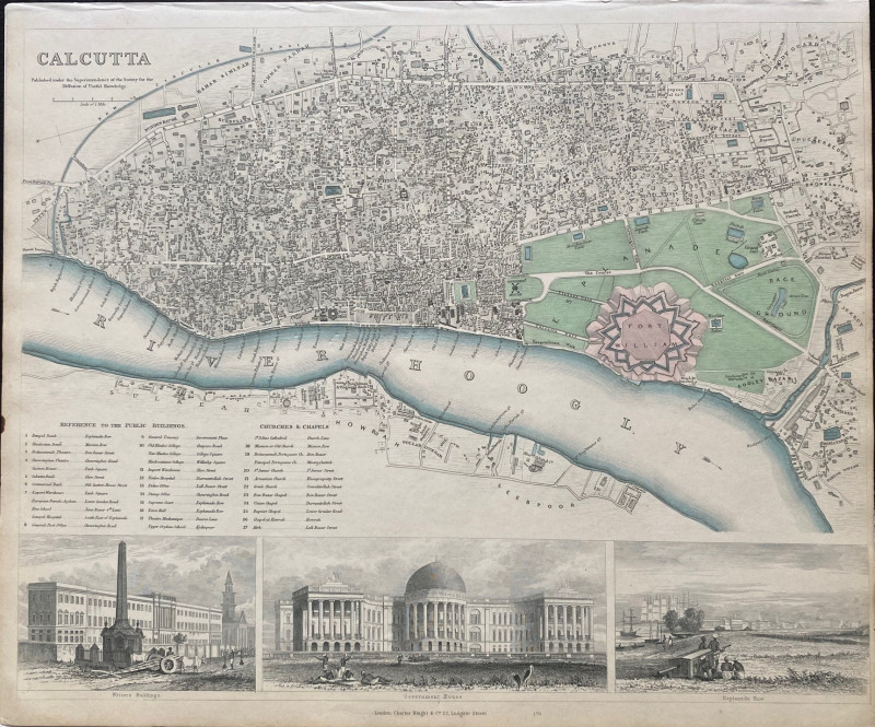
Railway Clearing House Map of London 1915
Emslie
Railway Clearing House
£195.00
Offered by Arthur Hook
Friends of the PBFA
For £10 get free entry to our fairs, updates from the PBFA and more.
Please email info@pbfa.org for more information