A Map of Brighton “The Queen of Watering Places” formerly Brighthelmstone, a Fishing Village,

Book Description
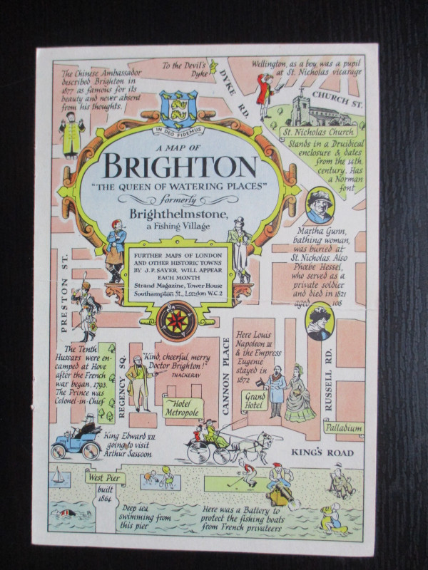
A Map of Brighton “The Queen of Watering Places” formerly Brighthelmstone, a Fishing Village, A map by J P Sayer, published by the Strand Magazine London circa 1947. On paper size 27 by 20 cm. with a second map to the reverse containing the title in a decorative cartouche. The reverse also has an image of the Pavilion of King George IVth along with publisher’s details. Full colour. J P Sayer was a British artist whose work included railway posters and maps, with this map being one of a series he produced for the Strand Magazine in the late 1940s. His maps combine history with humour and reflect a romantic interest in the past and a feeling of optimism for post-war Britain. One central fold. Vg condition.
Author
Sayer
Date
1947
Publisher
Strand Magazine
Illustrator
Sayer
Condition
VG
Other books
If you liked the book you've just seen, you might be interested in other books from the same dealer below.
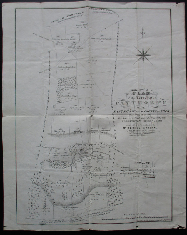
Plan of the Lordship of Caythorpe in the East Ridi...
Madeley
Madeley
Reserved
Offered by Arthur Hook
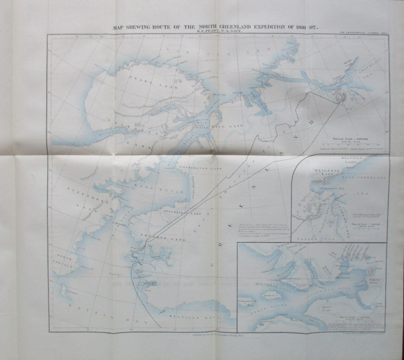
Map Shewing Route of the North Greenland Expeditio...
Peary
Royal Geographical Society
£55.00
Offered by Arthur Hook
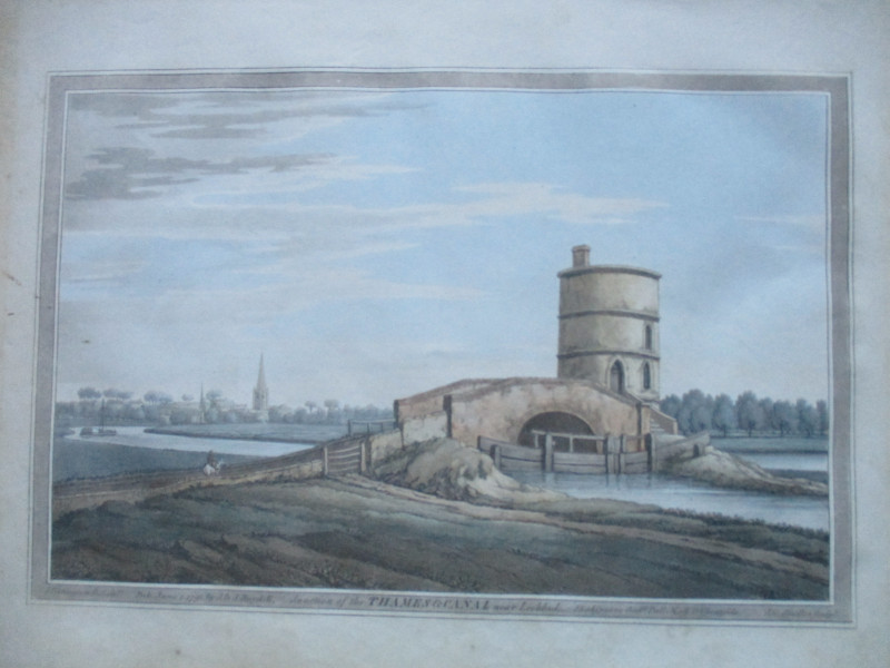
An engraving of the Junction of the Thames and Can...
Boydell.
Boydell
£50.00
Offered by Arthur Hook
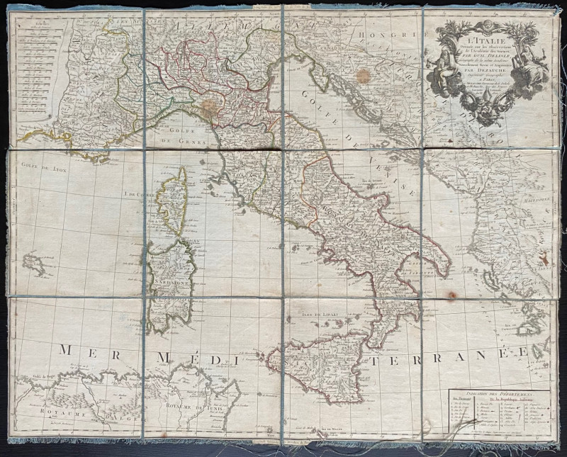
Map of Italy 1802. L'Italie Dresse sur les Observa...
Delisle
Dezauche
£105.00
Offered by Arthur Hook
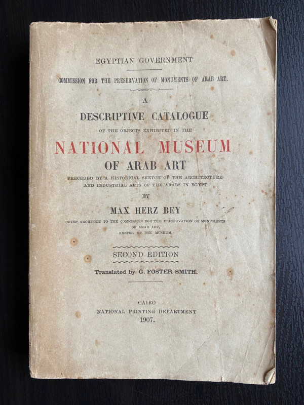
A Descriptive Catalogue of the Objects Exhibited i...
Max Herz
National Printing Department, Cairo
£115.00
Offered by Arthur Hook
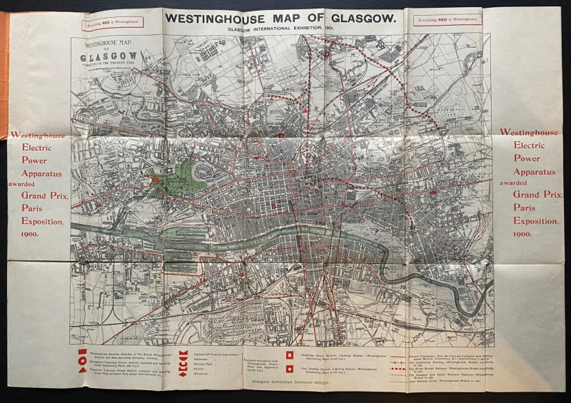
The Westinghouse Map of Glasgow: Glasgow Internati...
Anon
Westinghouse
£100.00
Offered by Arthur Hook
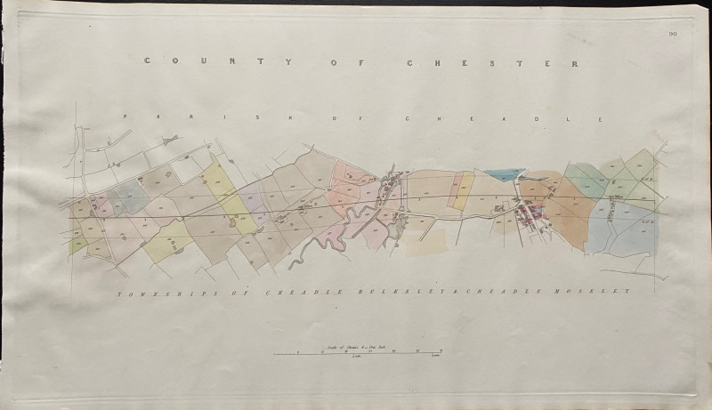
Map of the Parish of Cheadle with Townships of Che...
Rennie
Arrowsmith
£35.00
Offered by Arthur Hook
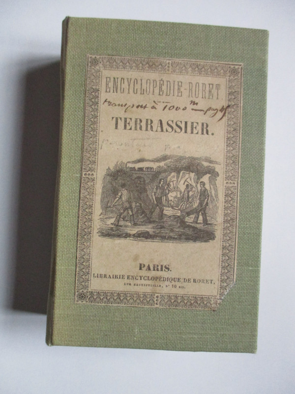
Nouveau Manual Complet du Terrassier et de l’Entre...
Etienne and Masson
Roret
£50.00
Offered by Arthur Hook
Friends of the PBFA
For £10 get free entry to our fairs, updates from the PBFA and more.
Please email info@pbfa.org for more information