Map of Batavia 1906 Platte Grond van Batavia

Book Description
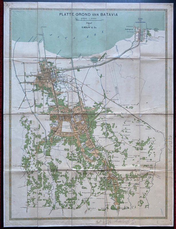
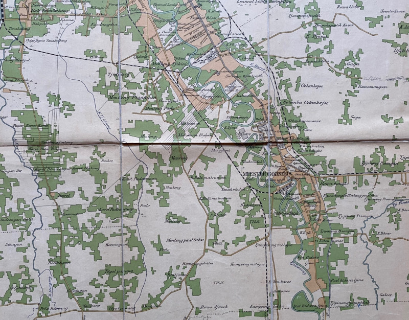
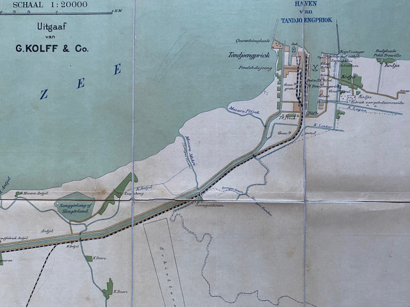
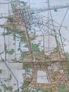
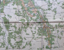
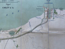
Map of Batavia 1906. Platte Grond van Batavia by G Kolff, published Batavia/Jakarta 1906. On folding linen in 20 sections, size 97 by 73 cm. Scale 1:20,000. Colour. Shows the city in considerable detail plus the dock or harbour area Haven von Tandjong Priok. The map includes the Dutch government-controlled opium processing factory in the Weltevreden area, complete with its own railway siding and terminus. All roads, canals and railways are shown along with the outlines of many buildings and enterprises. Covers an area from the Java Sea south to Meester Cornelis. Several names and annotations outside the borders but these do not impinge on the map. VG condition.
Author
Kolff
Date
1906
Publisher
Kolff
Condition
Good to VG
Other books
If you liked the book you've just seen, you might be interested in other books from the same dealer below.
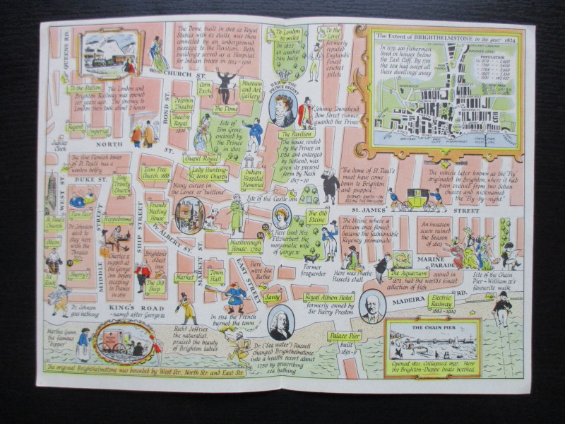
A Map of Brighton “The Queen of Watering Places” f...
Sayer
Strand Magazine
£40.00
Offered by Arthur Hook
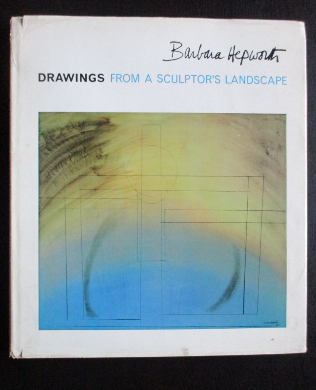
Barbara Hepworth Drawings from a Sculptor’s Landsc...
Hepworth
Cory Adams and Mackay
£45.00
Offered by Arthur Hook
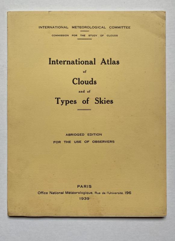
International Atlas of Clouds and Types of Skies
Anon
Office Nationale Metéorologique
£125.00
Offered by Arthur Hook
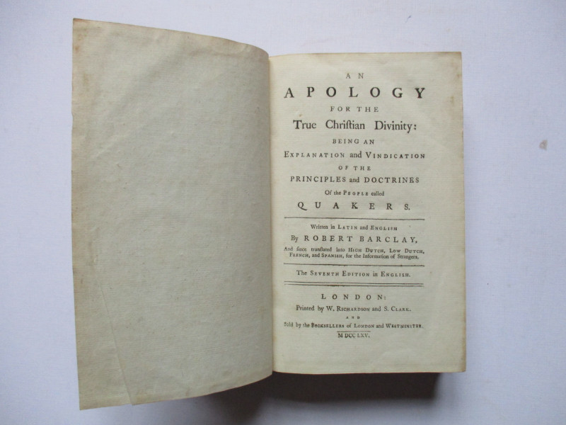
An Apology for the True Christian Divinity: being...
Barclay
Richardson and Clark
£100.00
Offered by Arthur Hook
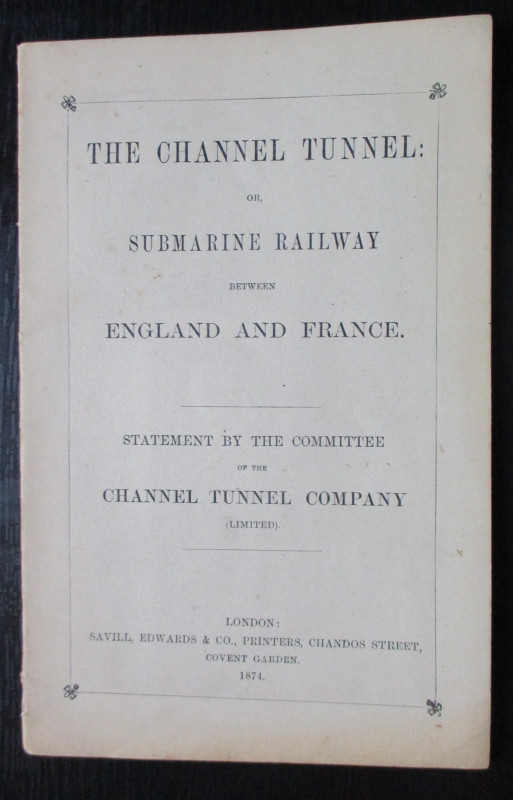
The Channel Tunnel or Submarine Railway between En...
Anon
Channel Tunnel Company
£85.00
Offered by Arthur Hook

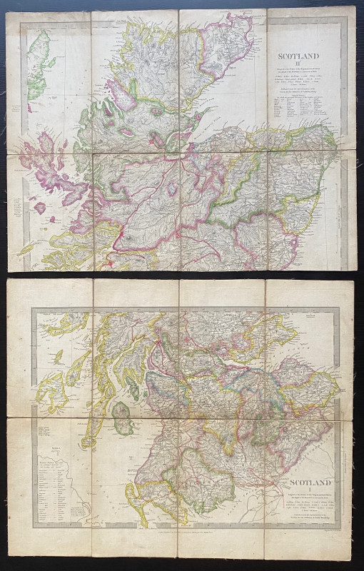
Map of Scotland with a Plan of Edinburgh 1834
Baldwin and Cradock
Baldwin and Cradock
£275.00
Offered by Arthur Hook
Friends of the PBFA
For £10 get free entry to our fairs, updates from the PBFA and more.
Please email info@pbfa.org for more information