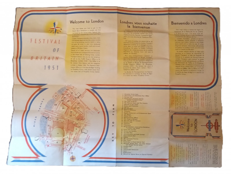
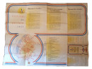
Festival of Britain London Underground Map


Book Description
Other books
If you liked the book you've just seen, you might be interested in other books from the same dealer below.
The History & Description of Ashby-de-la-Zouch
with Excursions in the Neighbourhood
Hall & Co.,
£20.00
Offered by The Book House
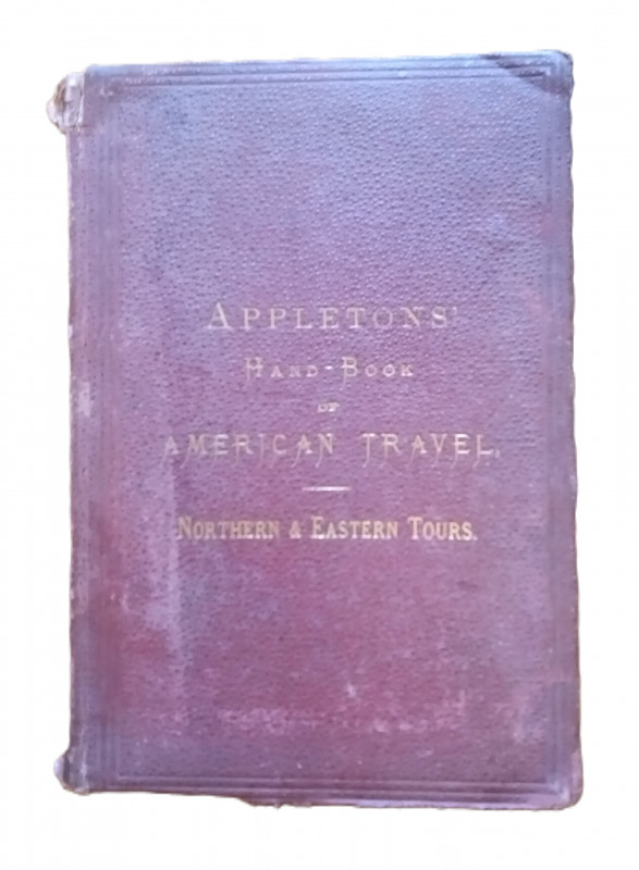
Appleton's Hand-Book of American Travel - Northern...
D. Appleton and Company
D. Appleton and Company
£70.00
Offered by The Book House
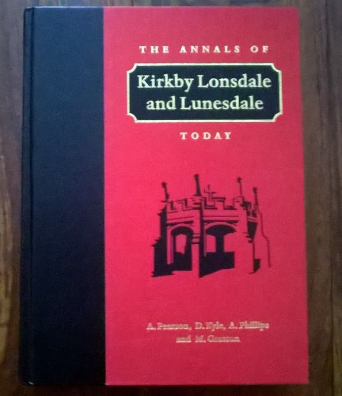
The Annals of Kirkby Lonsdale and Lunesdale Today
Pearson, A; Kyle, D; Phillips, A & Gresson, M:
The Parthenon Publishing Group
£60.00
Offered by The Book House
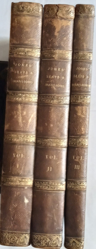
Jones' Views of the Seats, Mansions, Castles, &c....
Jones & Co:
Jones & Co, Temple of the Muses, Finsbury Square
£250.00
Offered by The Book House
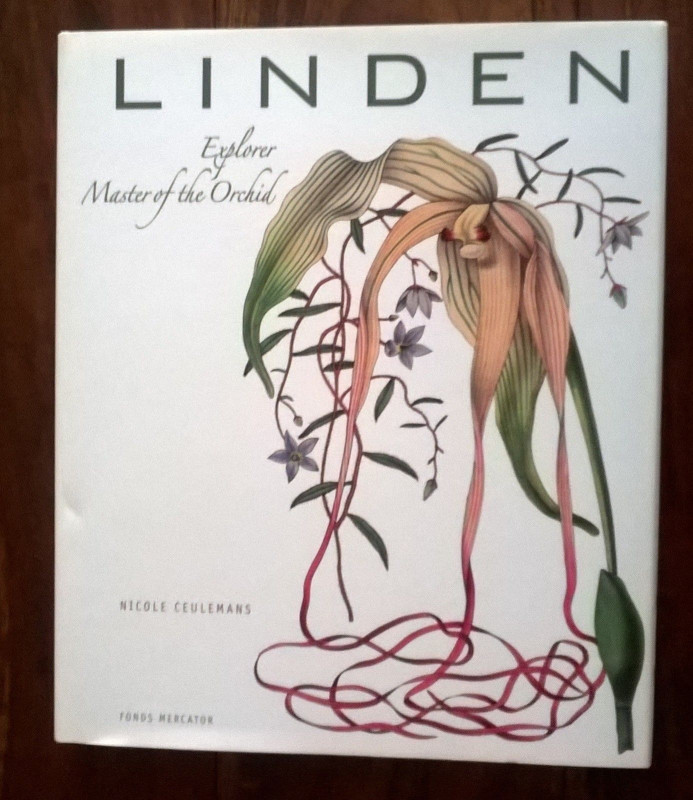
Jean Linden, Explorer, Master of the Orchid.
Ceulemans, Nicole
Fonds Mercator
£20.00
Offered by The Book House
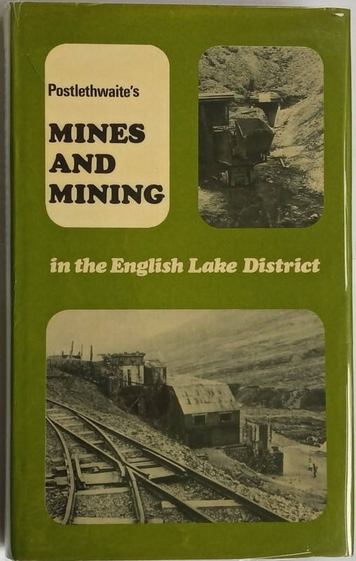
Mines and Mining in the English Lake District
John Postlethwaite
Michael Moon
£25.00
Offered by The Book House
The Canals of the East Midlands (including part of...
Hadfield, Charles:
David & Charles
£12.00
Offered by The Book House
Quarries of England & Wales - An Historic Photogra...
Peter Stanier
Twelveheads Press, Truro
£8.00
Offered by The Book House
Cakes and Ale or The Skeleton in the Cupboard
W. Somerset Maugham
Heinemann
£75.00
Offered by The Book House
Friends of the PBFA
Please email info@pbfa.org for more information