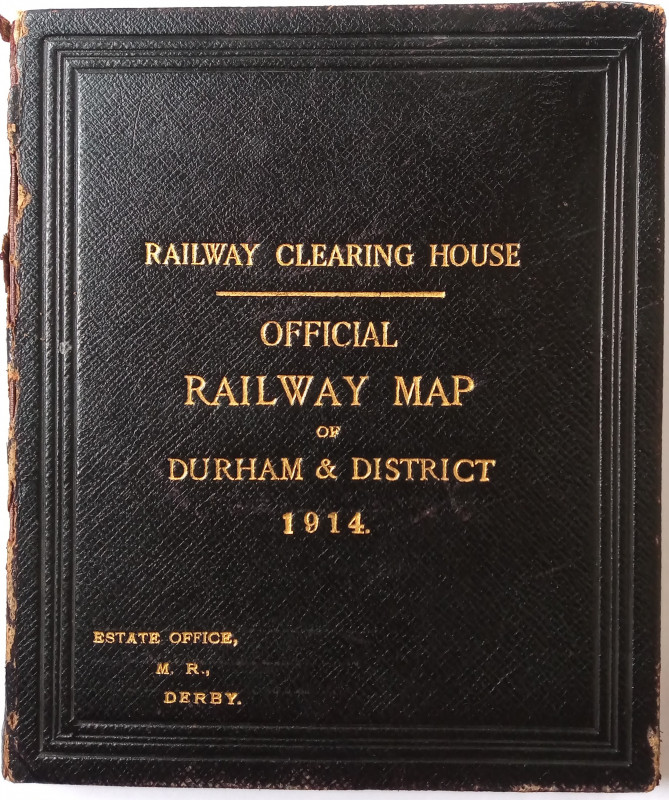
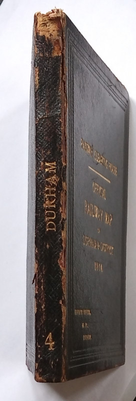
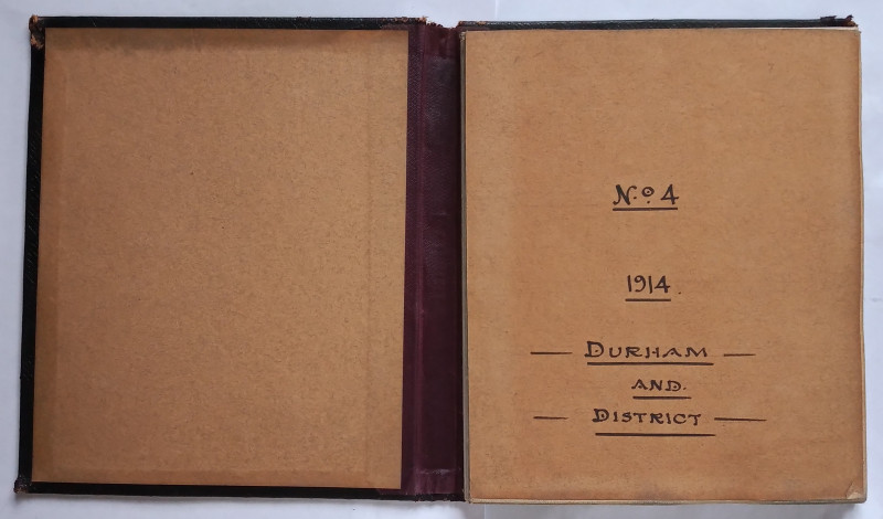
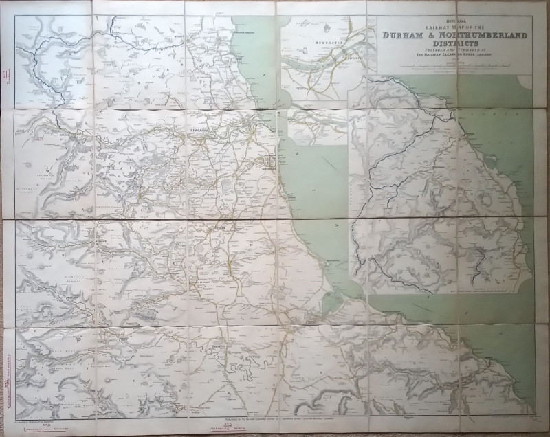
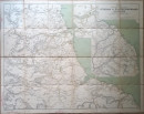
Official Railway Map of the Durham & Northumberland Districts


Book Description
Other books
If you liked the book you've just seen, you might be interested in other books from the same dealer below.
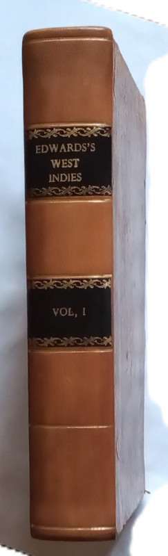
The History, Civil & Commercial, of the British Co...
Edwards, Bryan:
Luke White, Dublin
£195.00
Offered by The Book House
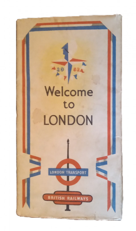
Festival of Britain London Underground Map
Designed by James Hart
Printed by Greycaines, Watford for British Railways and London Transport
£35.00
Offered by The Book House
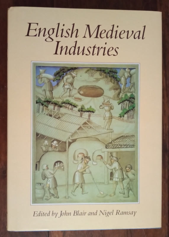
English Medieval Industries
Blair, John & Ramsay, Nigel (Editors):
The Hambeldon Press
£35.00
Offered by The Book House
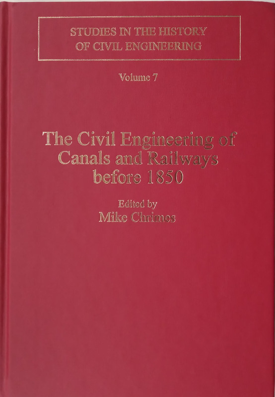
The Civil Engineering of Canals and Railways befor...
Mike Chrimes (Editor)
Ashgate
£45.00
Offered by The Book House
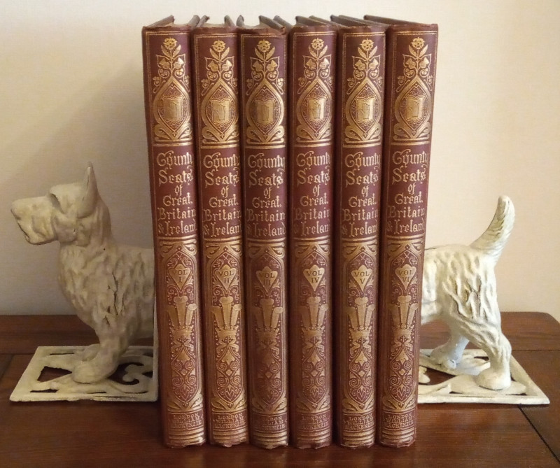
A Series of Picturesque Views of Seats of Noblemen...
Morris, Rev. F. O. (Editor):
William MacKenzie
£450.00
Offered by The Book House
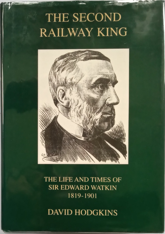
The Second Railway King - The Life and Times of Si...
Hodgkins, David
Merton Priory Press
£20.00
Offered by The Book House
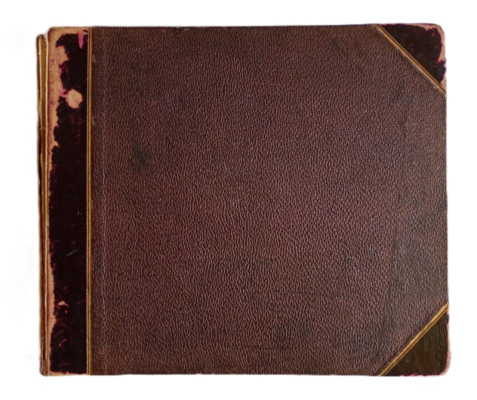
Album of Photographs of mainly Horse-drawn Steam E...
William Rose, Metropolitan Works, Manchester
£450.00
Offered by The Book House
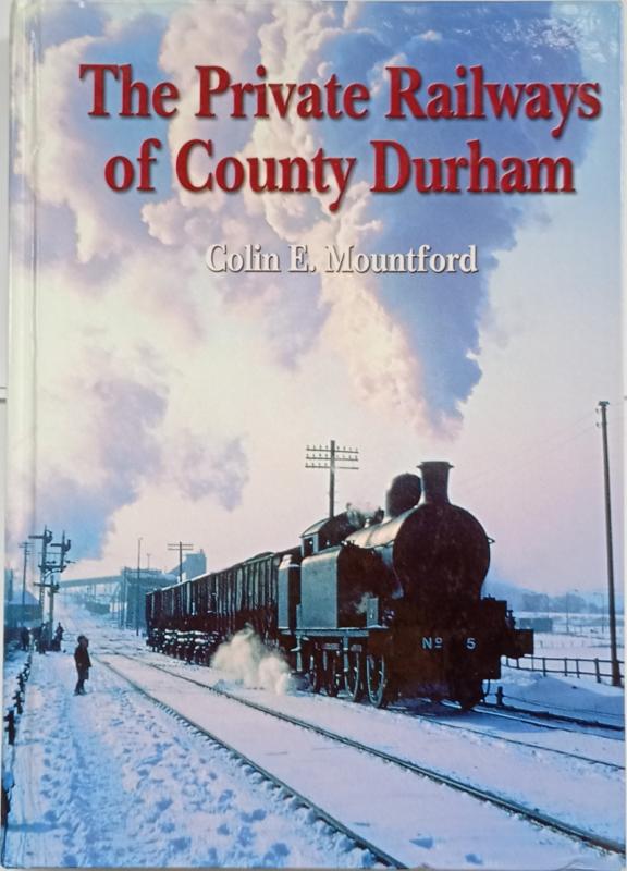
The Private Railways of County Durham
Colin E. Mountford
Industrial Railway Society
£30.00
Offered by The Book House
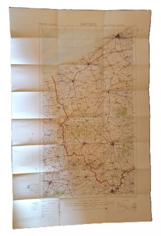
Map of Ostend Region, Belguim
Ordnance Survey
Ordnance Survey Office, Southampton
£20.00
Offered by The Book House
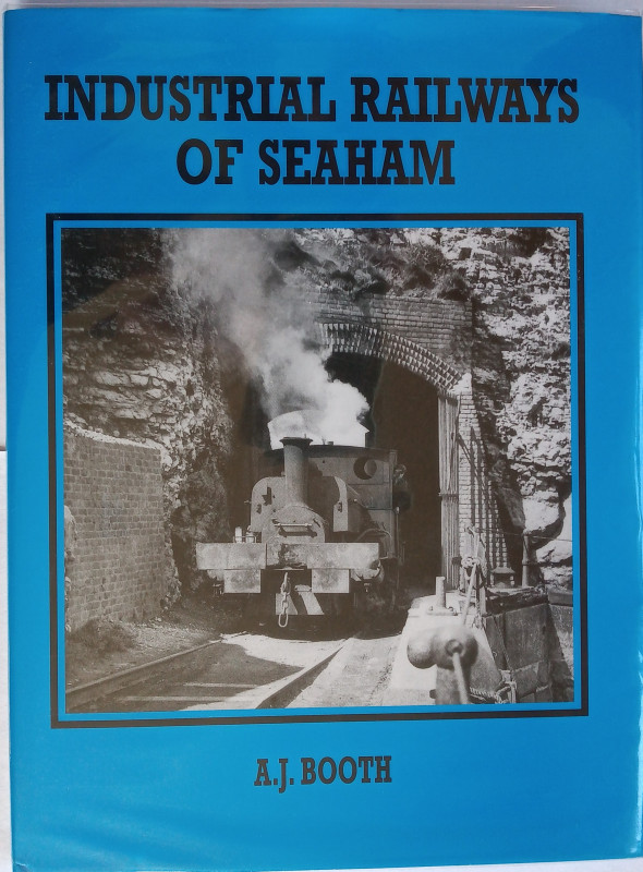
Industrial Railways of Seaham
A. J. Booth
Industrial Railway Society
£20.00
Offered by The Book House
Friends of the PBFA
Please email info@pbfa.org for more information