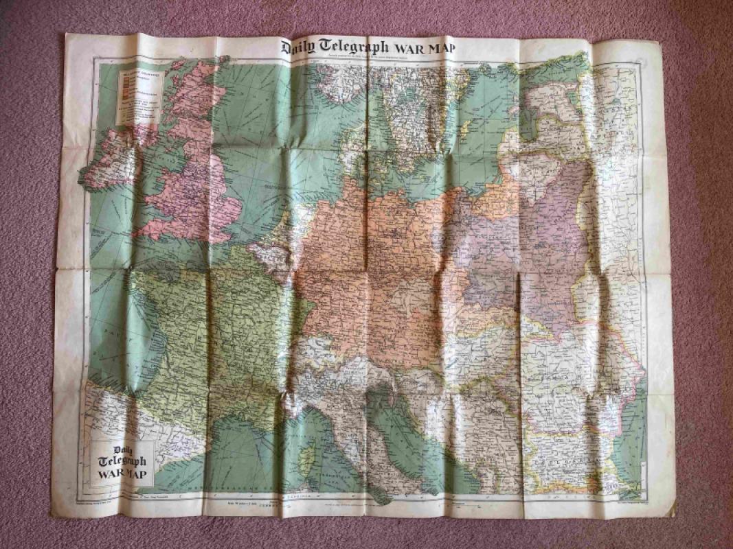
Daily Telegraph War Map
Book Description
Specially prepared for The Daily Telegraph by the London Geographical Institute, at 50 miles to 1 inch.
This is a map of Europe, from Spain in the west to Ukraine in the east, and from Norway in the north to Albania in the south, and including the UK and Eire.
Belligerent countries are the UK, France and Poland, and Germany, German Protectorates and Danzig; they are all shown in solid colours. Neutral countries are shown by a "band tint". These countries include Norway, Belgium, Netherlands, and Russia, though it is noted that "Russia invaded Poland September 17, 1939".
Dealer Notes
Folded size = 21cm x 13cm
Unfolded size = 100cm x 77cm
Unfolded size = 100cm x 77cm
Author
Anon
Date
c1939
Binding
Not applicable
Publisher
George Philip & Son, Ltd. for The Daily Telegraph
Condition
Good
Pages
1
Other books
If you liked the book you've just seen, you might be interested in other books from the same dealer below.
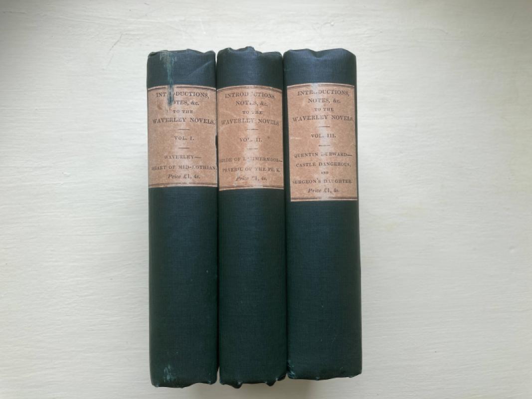
Introductions, Notes and Illustrations to the Nove...
No author named - Possibly Sir Walter Scott
Robert Cadell, Edinburgh & Whittaker and Co. London
£200.00
Offered by Topeka Books
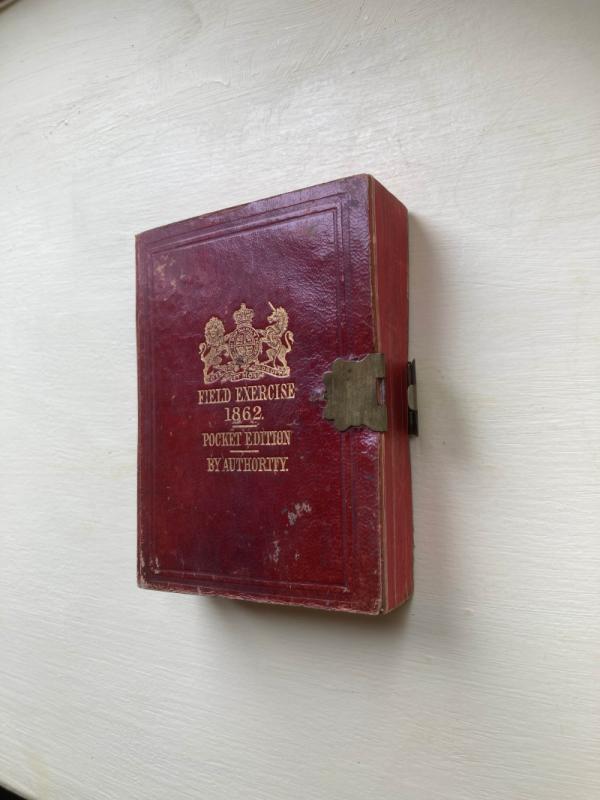
Field Exercises and Evolutions of Infantry
Her Majesty's Command
HMSO
£150.00
Offered by Topeka Books
Friends of the PBFA
For £10 get free entry to our fairs, updates from the PBFA and more.
Please email info@pbfa.org for more information