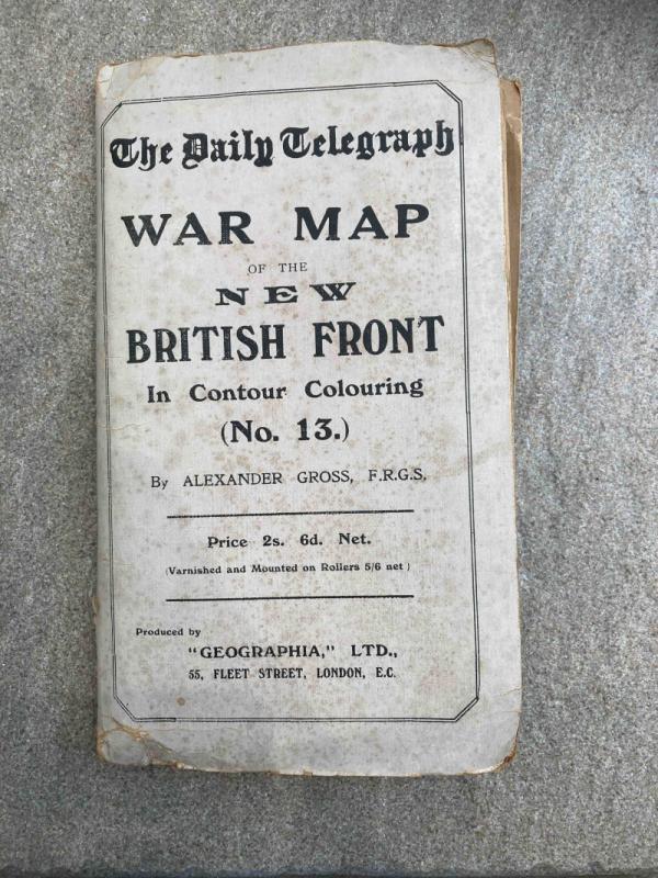
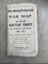
The Daily Telegraph War Map of the New British Front in Contour Colouring (No. 13)
Book Description
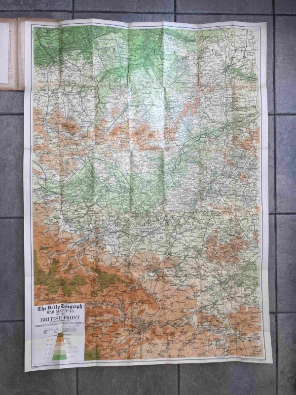
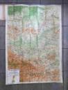
"Contour map of the extended British Front. It surpasses all the large scale official maps in clearness and detail. Scale 2 miles to 1 inch."
Dealer Notes
Produced by "Geographia" Ltd, 55 Fleet Street, London EC.
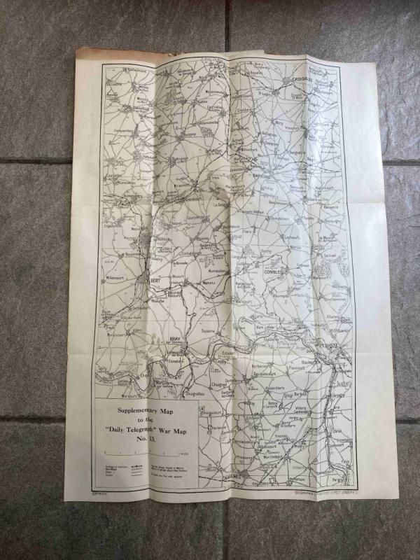
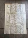
With supplementary map, at 1.5 miles to the inch, covering Croisilles in the north to Chaulnes in the south, and Albert in the west to beyond Combles in the east.
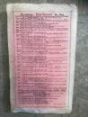
Folded size = 21cm x 12.5cm
Unfolded size (Main map) = 100cm x 71.5cm
Unfolded size (Supplementary map) = 51cm x 37cm
With supplementary map, at 1.5 miles to the inch, covering Croisilles in the north to Chaulnes in the south, and Albert in the west to beyond Combles in the east.
Folded size = 21cm x 12.5cm
Unfolded size (Main map) = 100cm x 71.5cm
Unfolded size (Supplementary map) = 51cm x 37cm
Author
Anon
Date
c1915
Binding
Not applicable
Publisher
Daily Telegraph
Illustrator
Alexander Gross FRGS
Condition
Good
Pages
1
Other books
If you liked the book you've just seen, you might be interested in other books from the same dealer below.
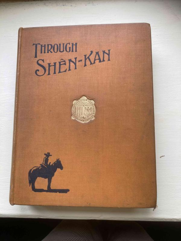
Through Shen-Kan
Robert Sterling Clark & Arthur de Sowerby
T Fisher Unwin
£120.00
Offered by Topeka Books
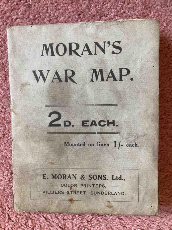
Moran's War Map
Anon
E. Moran & Sons, Ltd. Villiers Street Sunderland
£25.00
Offered by Topeka Books
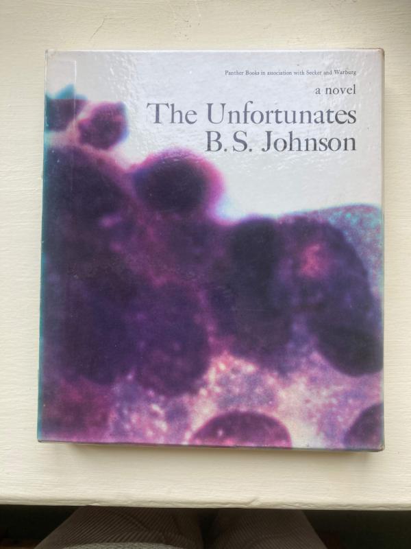
The Unfortunates
B. S. Johnson
Panther Books in association with Secker and Warburg
£170.00
Offered by Topeka Books
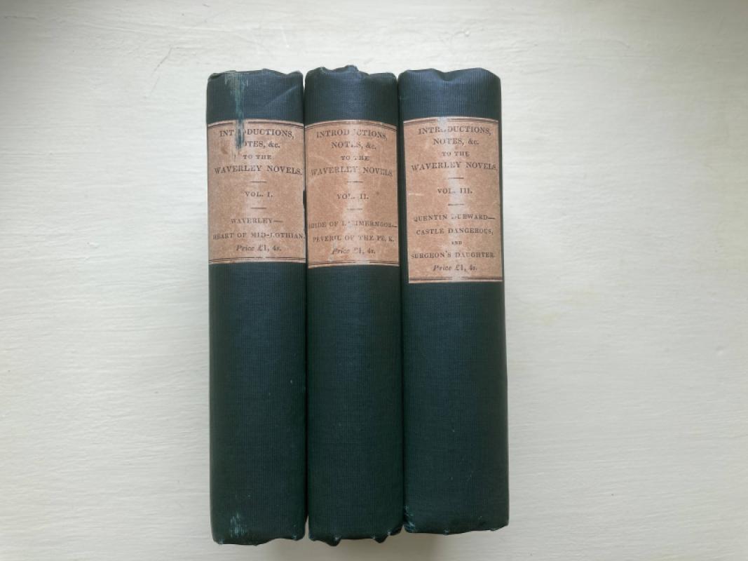
Introductions, Notes and Illustrations to the Nove...
No author named - Possibly Sir Walter Scott
Robert Cadell, Edinburgh & Whittaker and Co. London
£200.00
Offered by Topeka Books
Friends of the PBFA
For £10 get free entry to our fairs, updates from the PBFA and more.
Please email info@pbfa.org for more information