Bird's-Eye Map of War District Natal. To Accompany the Official Railway Guide
Book Description
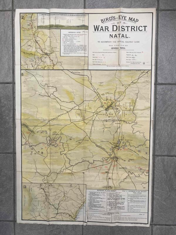
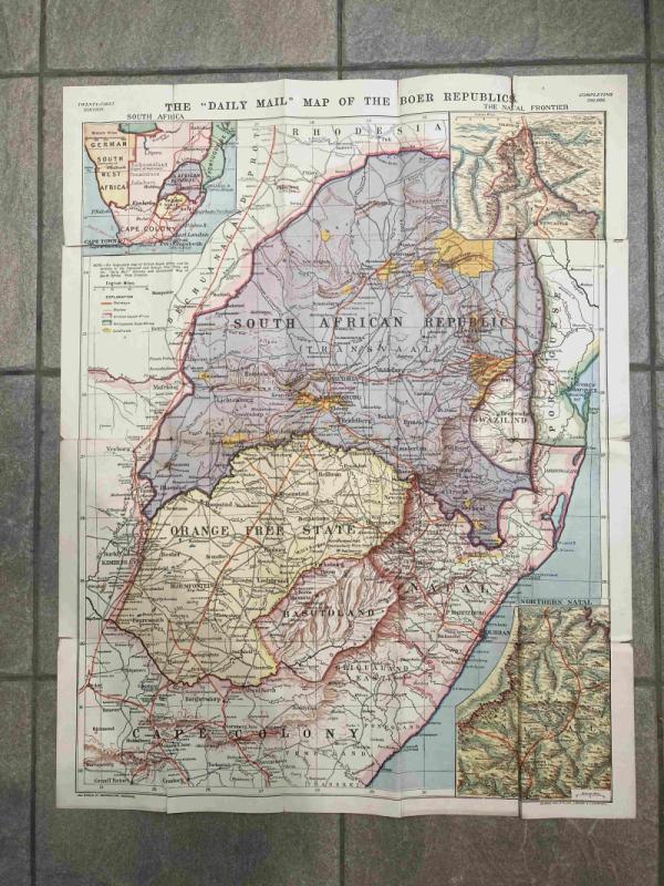
Three maps printed on one sheet showing actions that took place during the Boer War (1899-1902), with key locations marked. The map was produced as a supplement to the Official Railway Guide that promoted immigration after the war.
The main map, Map 1, shows battles around Ladysmith and General Buller's final attack, including the site of the 'Armoured train disaster November 15th, 1899' when Winston Churchill was captured, and the notorious Spion Kop.
Map 2 shows an area from Charlestown through Newcastle and Dundee to Rorke’s Drift, with an inset showing Boer positions from Colenso.
Map 3 shows an area from Frere to Durban, to the east of Basutoland.
Dealer Notes
1.5 inches to the mile.
Folded size = 23cm x 15cm
Unfolded size = 91.5cm x 58.5cm
Folded size = 23cm x 15cm
Unfolded size = 91.5cm x 58.5cm
Author
Anon
Date
c1903
Binding
Not applicable
Publisher
John Singleton & sons, Durban
Condition
Good
Pages
1
Other books
If you liked the book you've just seen, you might be interested in other books from the same dealer below.

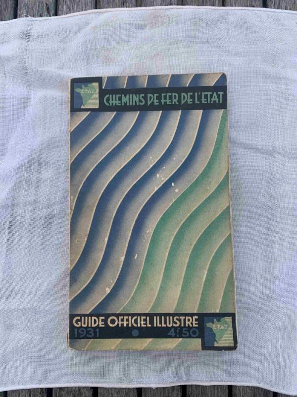
Chemin de Fer de l’État - Guide Officiel Illustré
Anon.
Chemin de Fer de l’État
£30.00
Offered by Topeka Books
Elegy Written in a Country Churchyard and Other Po...
Thomas Gray
John Lane, The Bodley Head
£280.00
Offered by Topeka Books
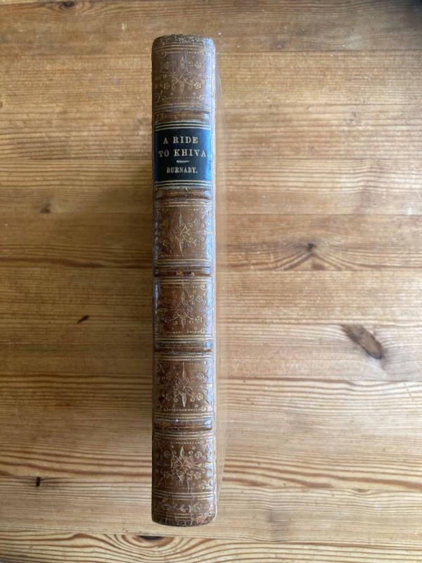
A Ride to Khiva - Travels and Adventures in Centra...
Fred Burnaby
Cassell, Petter, Gilpin and Co.
£60.00
Offered by Topeka Books
Friends of the PBFA
For £10 get free entry to our fairs, updates from the PBFA and more.
Please email info@pbfa.org for more information