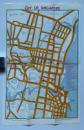
Advertising Flyer Map of the City of Singapore 1960

Book Description
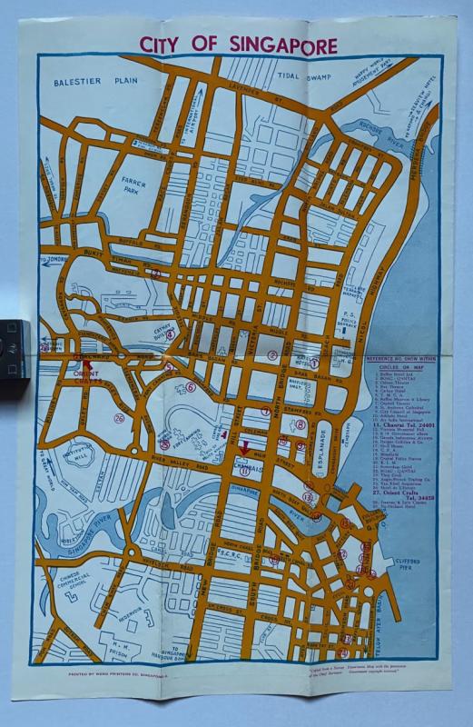
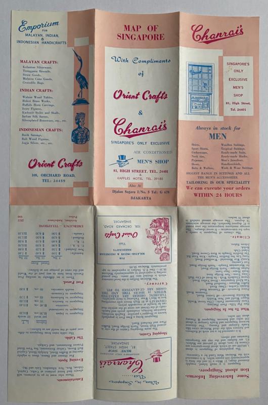
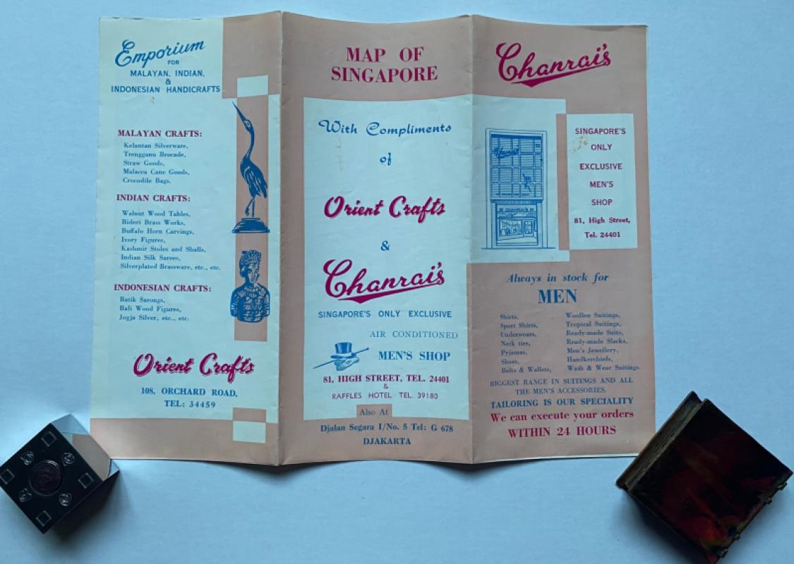
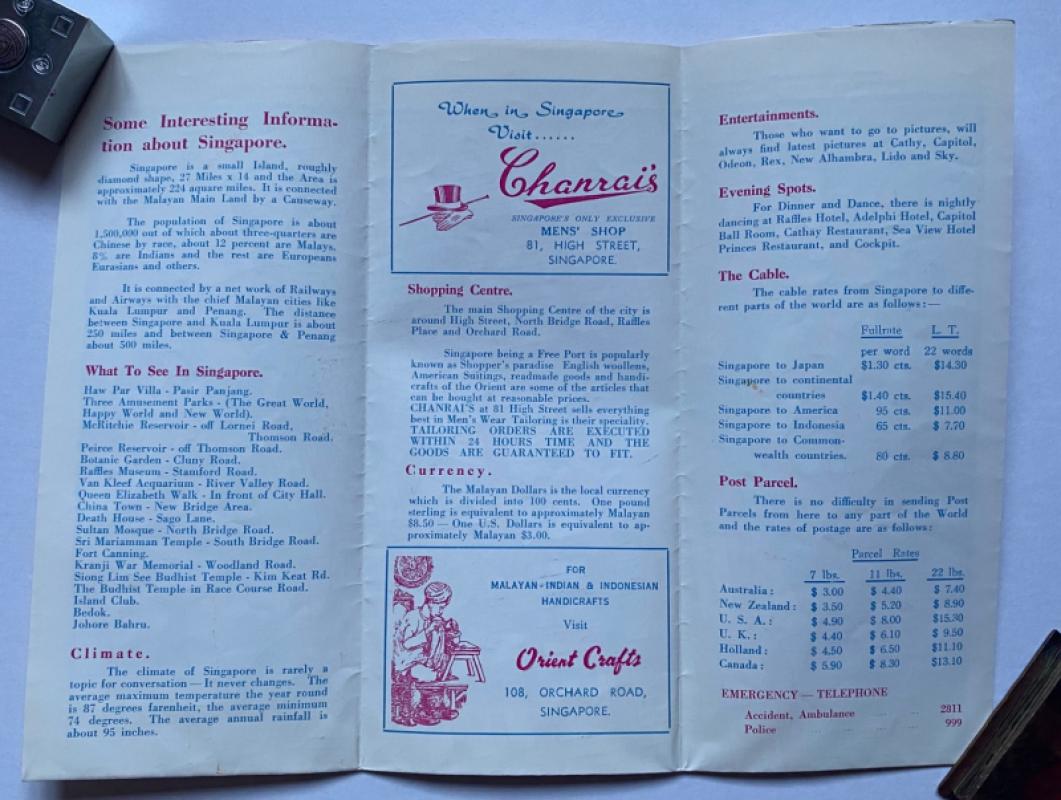
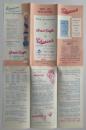
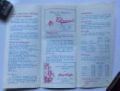
Map of the City of Singapore adapted from a Survey Department map and printed by Weng, Singapore for Orient Crafts and Chanrai’s circa 1960. On paper size 45 by 30 cm. Covers an area from Balestier Plain in the north across to Merdeka Bridge and in the south from Poh and Outram Roads to the Telok Ayer Basin. Colour. With a numbered key to 29 features on the map including various hotels, the BOAC, KLM, Quantas and Garuda airlines offices, YMCA. several theatres including the Rex and Odeon, the aquarium, Raffles Museum and Library, government and council offices. Other landmarks featured include the Prison, the Chinese Commercial School, parks, Fort Canning, the Clyde Terrace Market and police stations and barracks. The map was made to promote two local busineses, Chanrai’s menswear shop and Orient Crafts of Orchard Road. Details of both firms are on the reverse, along with the proud boast on the part of Charai’s that it is Singapore’s only exclusive air-conditioned men’s shop. Has been folded. A little period gem. VG condition.
Author
Wen
Date
1960
Publisher
Chanrai
Condition
VG
Other books
If you liked the book you've just seen, you might be interested in other books from the same dealer below.
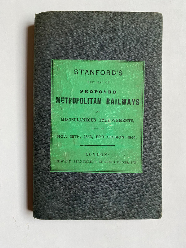
Stanford’s New Map of Proposed Metropolitan Railwa...
Stanford
Stanford
£295.00
Offered by Arthur Hook
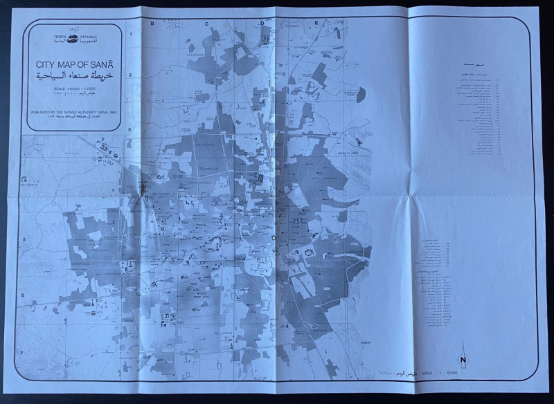
Republic of Yemen City Map of Sana
Survey Authority Sana
Survey Authority Sana
£110.00
Offered by Arthur Hook
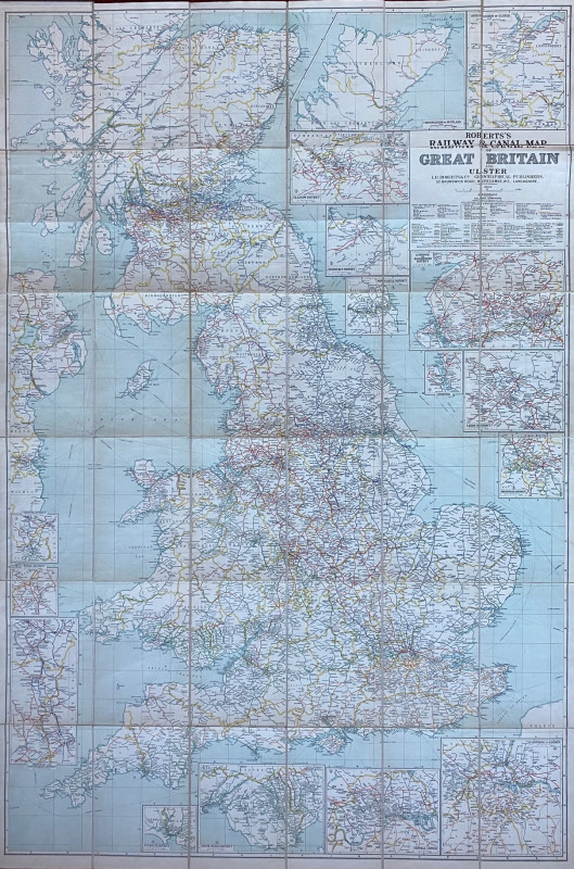
Roberts Railway and Canal Map of Great Britain and...
Roberts
Roberts
£100.00
Offered by Arthur Hook
Friends of the PBFA
For £10 get free entry to our fairs, updates from the PBFA and more.
Please email info@pbfa.org for more information