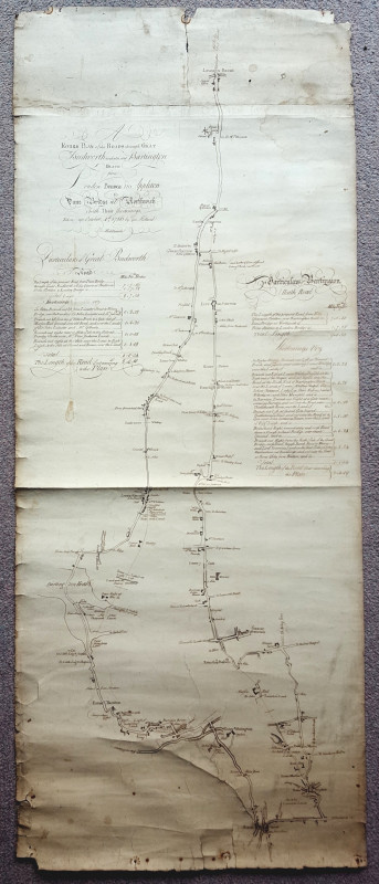
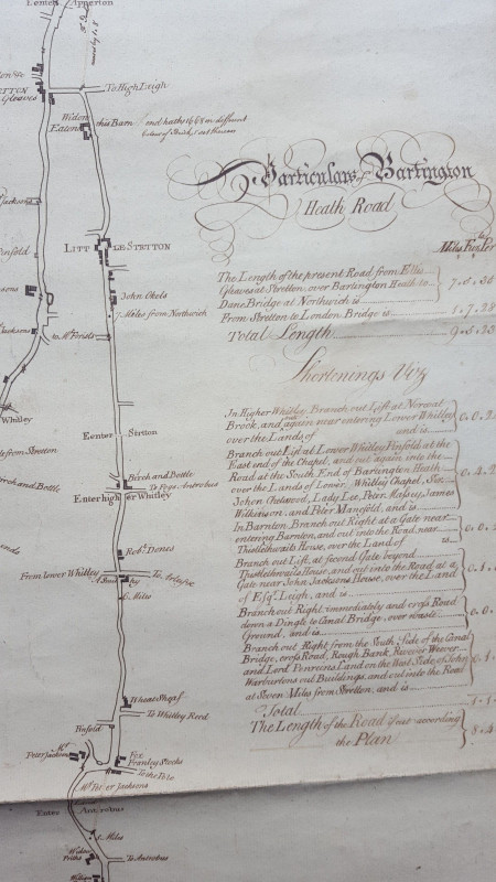
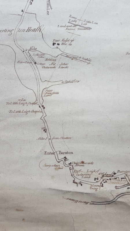
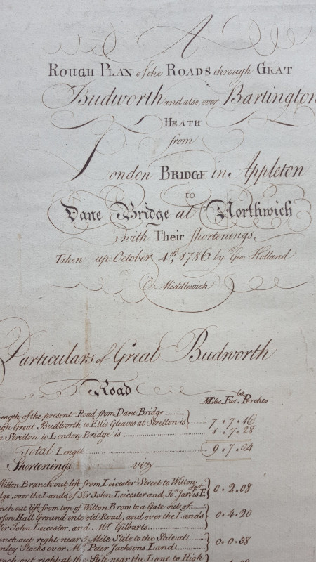
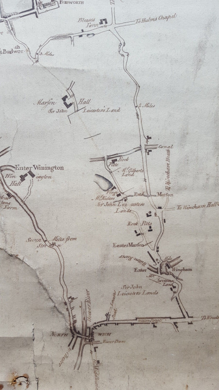
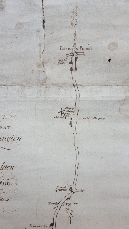
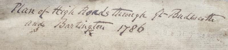
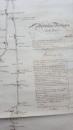
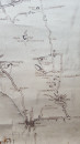
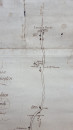
1786 Manuscript Road Map Cheshire

Book Description
Other books
If you liked the book you've just seen, you might be interested in other books from the same dealer below.
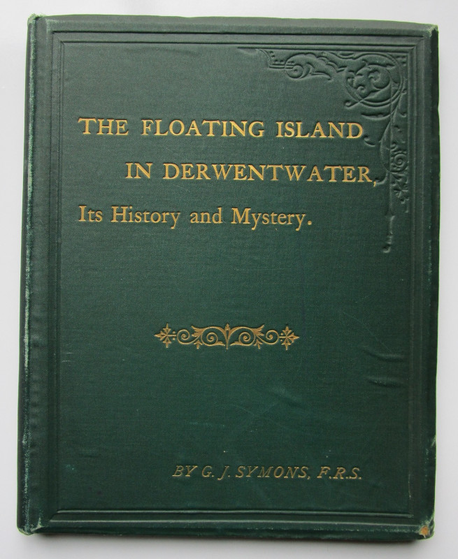
THE FLOATING ISLAND IN DERWENTWATER Its History &...
J. G. Symons, F.R.S., Secretary Royal Meteorological Society
E. Stanford & Simpkin Marshall & Co.
£75.00
Offered by Andrew Cox
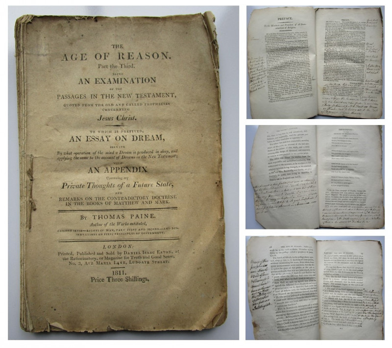
THE AGE OF REASON Part the Third
Thomas Paine
WITH INTERESTING HANDWRITTEN MANUSCRIPT NOTES
£350.00
Offered by Andrew Cox
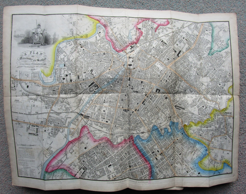
1850 Slater's DIRECTORY of MANCHESTER & SALFORD
Isaac Slater
Printed and Published by Isaac Slater
£95.00
Offered by Andrew Cox

1930 ICE SKATES TRADE CATALOGUE
Eskilstuna Jernmanufaktur Aktiebolag
skridskor skridskoåkning
£65.00
Offered by Andrew Cox
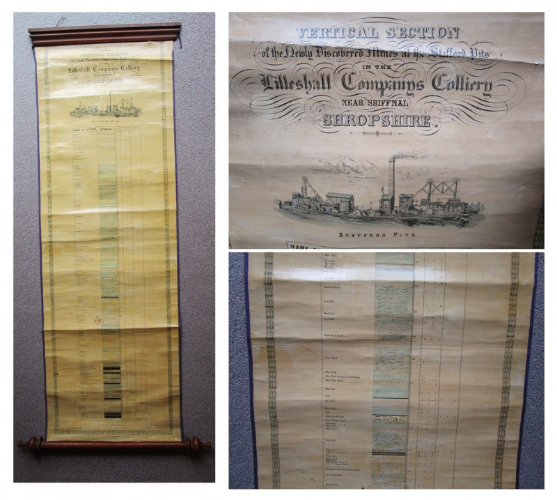
Geological VERTICAL SECTION IN THE NEWLY DISCOVERE...
E. Jones Mining Engineer, St. Georges Salop
Moody Bros, Lithographers, Birmingham
£350.00
Offered by Andrew Cox
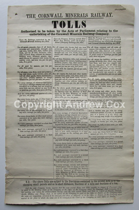
THE CORNWALL MINERALS RAILWAY (1874) LIST OF TOLLS...
The Cornwall Minerals Railway Company
£95.00
Offered by Andrew Cox
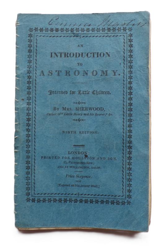
AN INTRODUCTION TO ASTRONOMY INTENDED FOR LITTLE C...
A Chapbook by Mrs Sherwood
1833
£125.00
Offered by Andrew Cox

Friends of the PBFA
Please email info@pbfa.org for more information