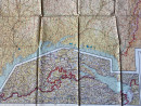
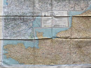
World War Two Escape Map of France
Book Description
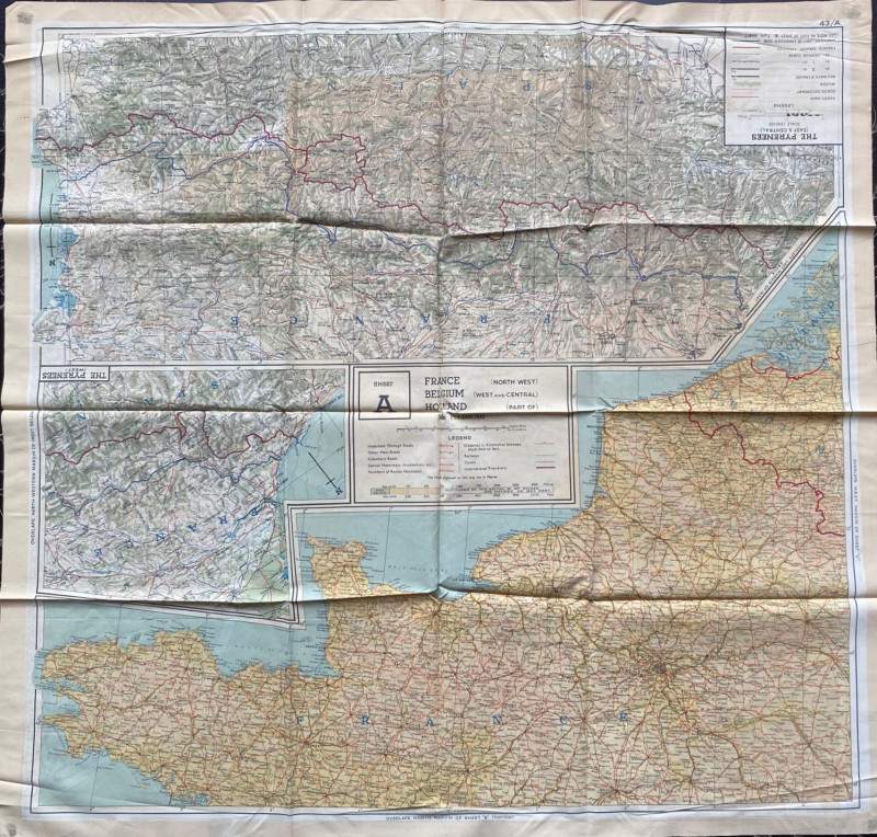
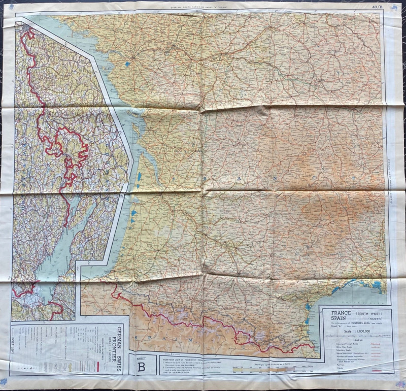
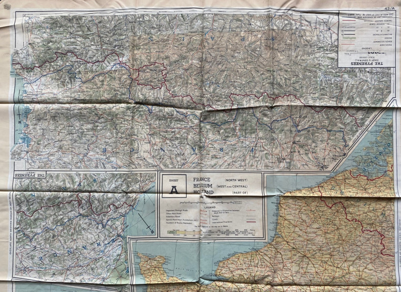
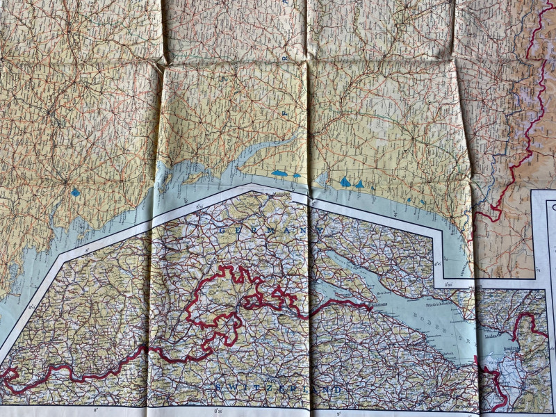
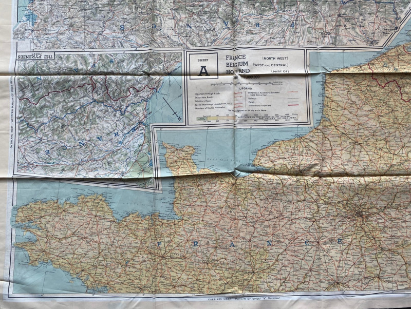
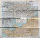
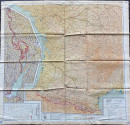
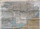
World War Two Escape Map of France. A double-sided map produced by the British Military in 1943 coded 43/A and 43/B. On silk size 75 by 71 cm. Side 43/A has a map of Northern France with part of Belgium and Holland on a scale of 1:1,000,000 plus maps of East, West and Central Pyrenees on a scale of 1:500,000. Sheet B on the reverse has maps of South West France and Northern Spain on a scale of 1:1,000,000 and a map of the German-Swiss frontier on a scale of 1:300,000. All in colour with a key to features such as various types of roads, railways, canals, distances and, in the case of the map of the German frontier, there are additional key features such as factories, towers, aerodromes, lanes and footpaths. All maps are detailed and in colour. Folds down to the size of a small pocket handkerchief. VG condition
Author
Anon
Date
1943
Publisher
British Military
Condition
VG
Pages
2
Other books
If you liked the book you've just seen, you might be interested in other books from the same dealer below.
The Lady’s Manual of Homeopathic Treatment in the...
Ruddock
Homeopathic Publishing Company
£35.00
Offered by Arthur Hook
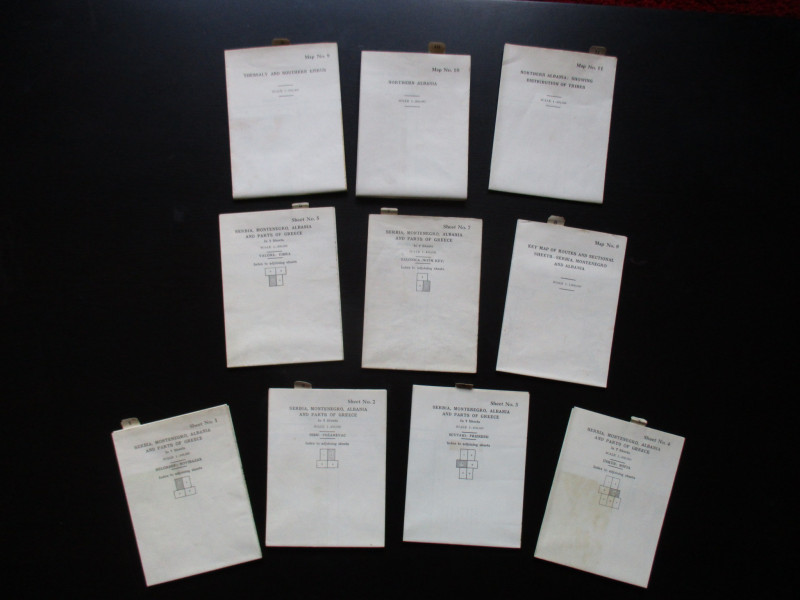
Maps to accompany Handbooks of Serbia, Montenegro...
British Admiralty War Staff
Ordnance Survey & British Admiralty
£295.00
Offered by Arthur Hook
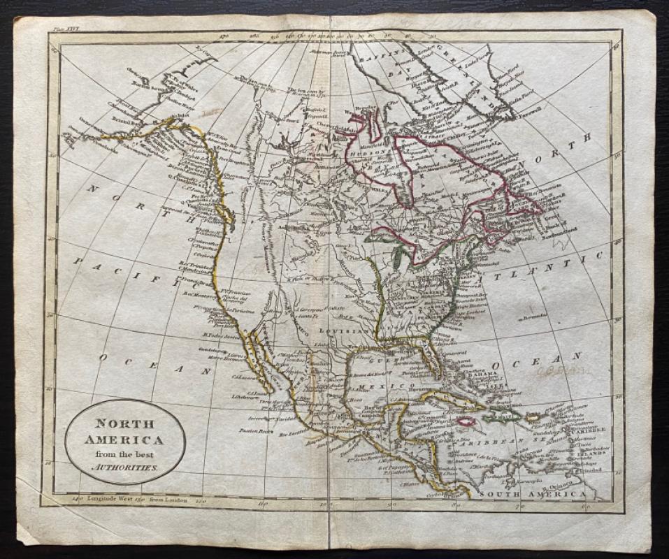
Map of North America from the Best Authorities
Russell
Rivington, Wilkie and others
£100.00
Offered by Arthur Hook
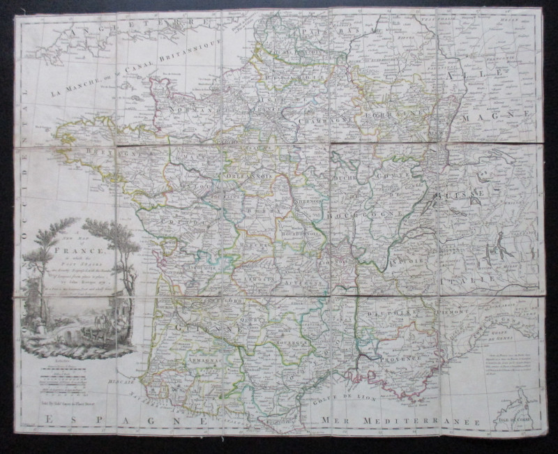
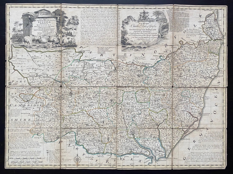
A New Map of France in which the Post Stages are E...
Rocque
Rocque and Sayer
£295.00
Offered by Arthur Hook
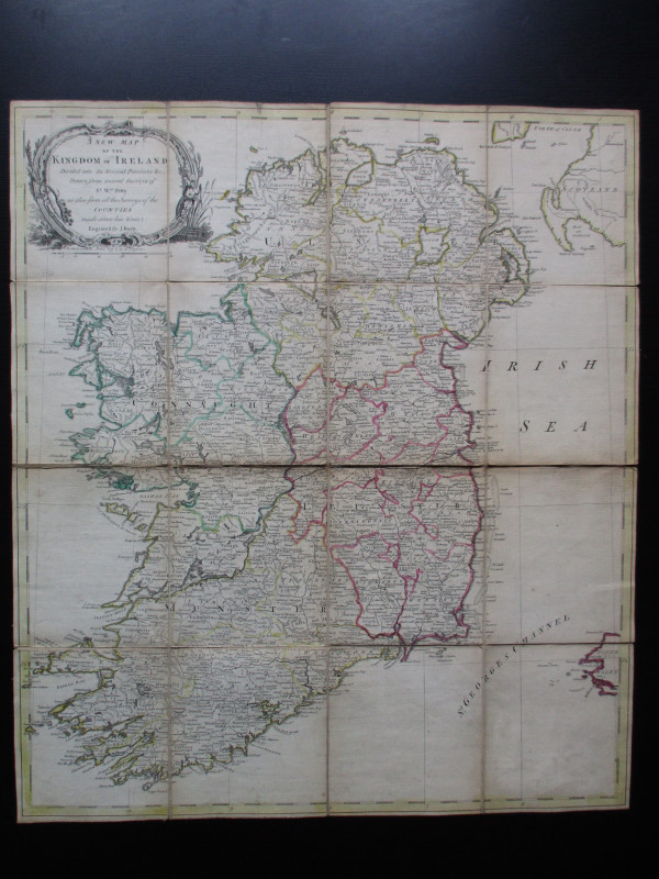
A New Map of the Kingdom of Ireland Divided into i...
Bayly
Carrington Bowles
£325.00
Offered by Arthur Hook
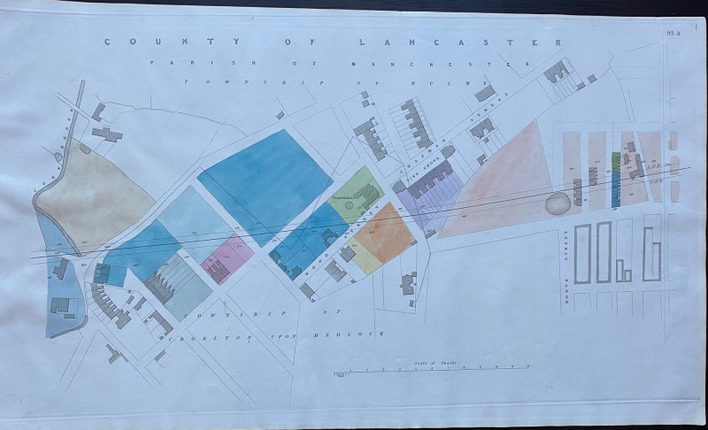
Enlarged plan of Central Manchester with the Penit...
Rennie
Arrowsmith
£70.00
Offered by Arthur Hook
Friends of the PBFA
For £10 get free entry to our fairs, updates from the PBFA and more.
Please email info@pbfa.org for more information