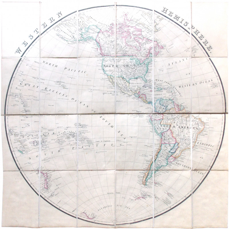
Western Hemisphere.
Book Description
Dealer Notes
Other books
If you liked the book you've just seen, you might be interested in other books from the same dealer below.
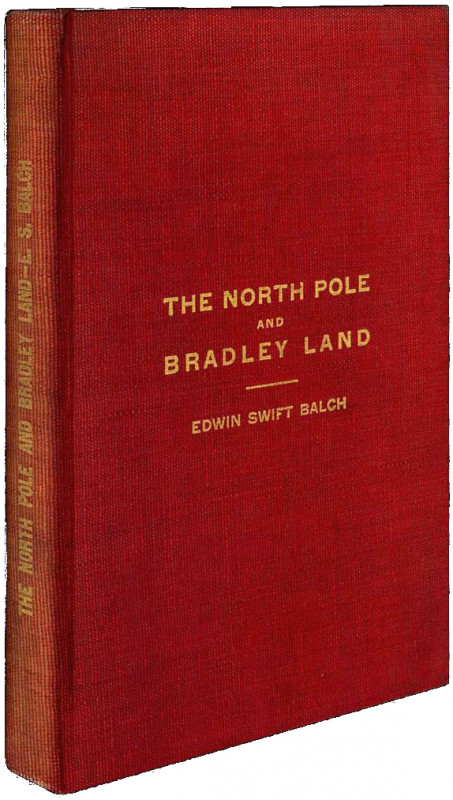
The North Pole and Bradley Land.
Balch, Edwin Swift.
Philadelphia: Campion and Company
£300.00
Offered by Meridian Rare Books
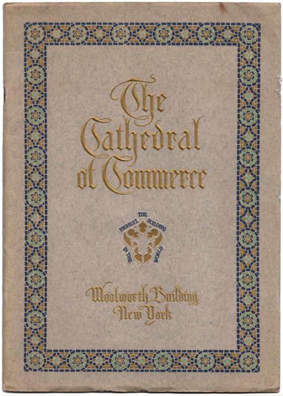
The Cathedral of Commerce. Woolworth Building New...
[Woolworth Building, New York.]
Baltimore & NY: Munder-Thomsen Company
£25.00
Offered by Meridian Rare Books
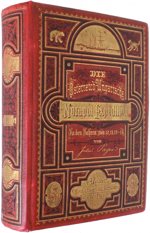
Die österreichisch-ungarische Nordpol-Expedition i...
Payer, Julius.
Wien: Alfred Hölder
£175.00
Offered by Meridian Rare Books
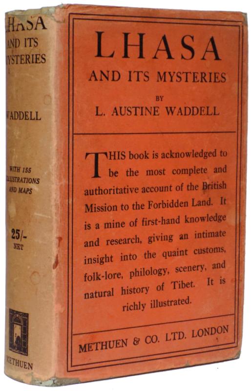
Lhasa and its Mysteries with a Record of the Exped...
Waddell, L. Austine.
London: Methuen & Co.
£375.00
Offered by Meridian Rare Books
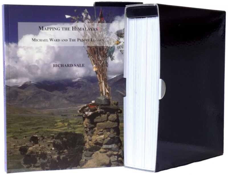
Mapping the Himalayas: Michael Ward and the Pundit...
Sale, Richard.
Carreg Publishing
£45.00
Offered by Meridian Rare Books
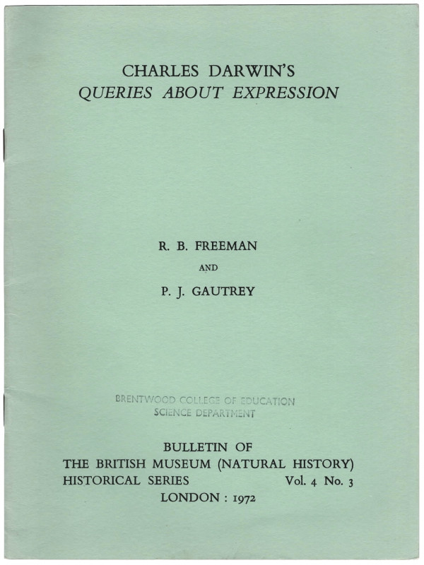
Charles Darwin’s Queries about Expression.
R. B. Freeman and P. J. Gautrey.
Bulletin of the British Museum (Natural History) Historical Series
£25.00
Offered by Meridian Rare Books
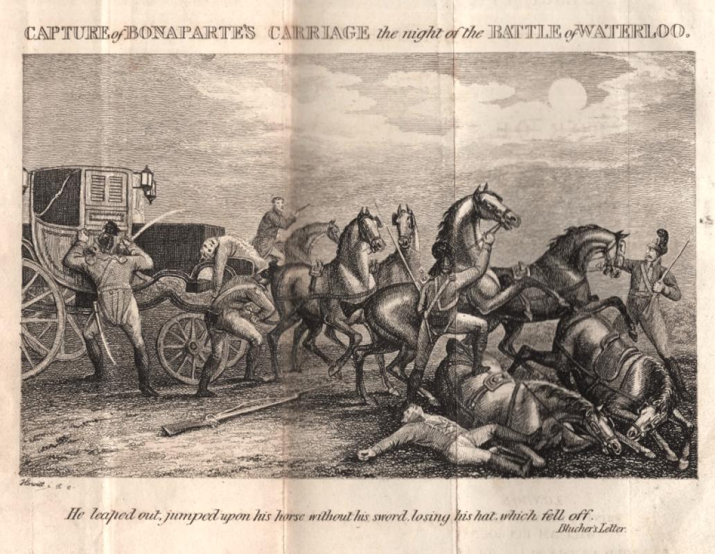
A Description of the Costly and Curious Military C...
[Napoleon.]
London: printed for the proprietor, William Bullock; and sold at the place of exhibition, London Museum Piccadilly
£450.00
Offered by Meridian Rare Books
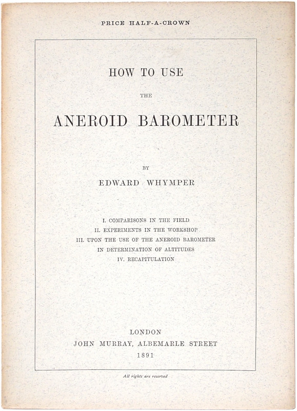
How to use the Aneroid Barometer.
Whymper, Edward.
London: John Murray
£250.00
Offered by Meridian Rare Books
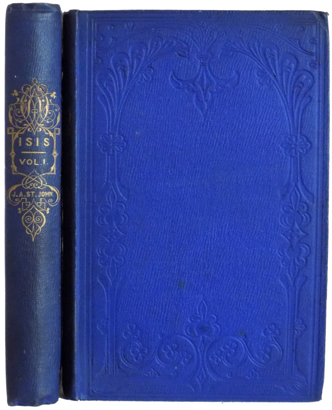
Isis: An Egyptian Pilgrimage.
St. John, James Augustus.
London: Longman, Brown, Green, and Longmans
£375.00
Offered by Meridian Rare Books
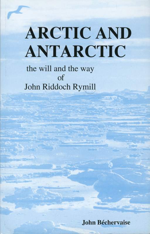
Arctic and Antarctic. The Will and the Way of John...
[Rymill, John Riddoch.] John Bechervaise.
Bluntisham Books.
£14.00
Offered by Meridian Rare Books
Friends of the PBFA
Please email info@pbfa.org for more information