The Channel Railway Concerning England and France illustrated by Chart of Surroundings and Lithographed Plans


Book Description
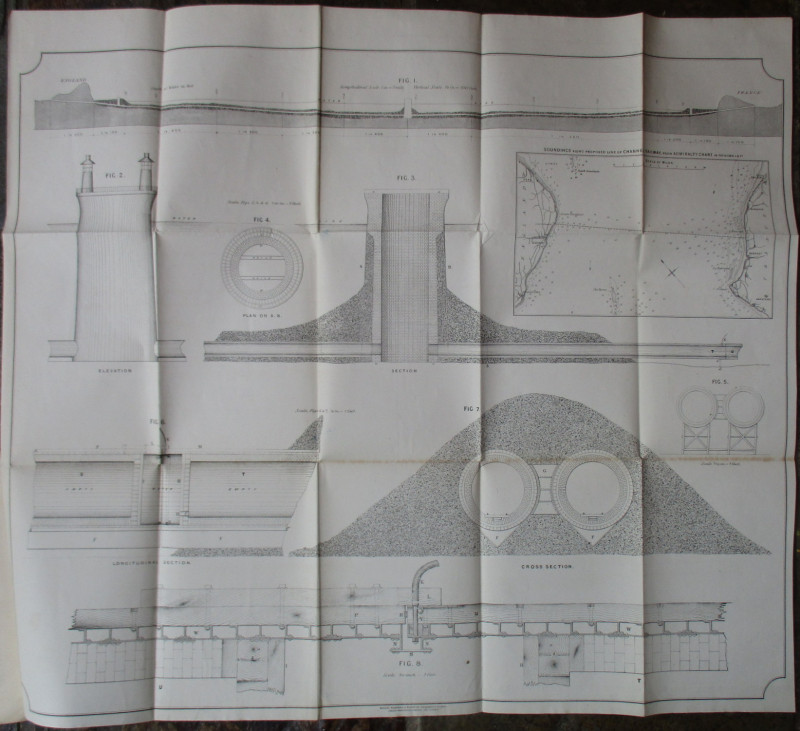
The Channel Railway Concerning England and France illustrated by Chart of Surroundings and Lithographed Plans by James Chalmers, published by Spon, London 1867. 2nd edition. In blue card covers size 21 by 14 cm. 50 pages. Includes the set of folding plans and a map to show soundings along the proposed line of Channel railway from the Admiralty chart, opening to 83 by 56 cm. Chalmers explains the practicalities of the project, makes the economic and political case for the tunnel and refutes the critics who argue that it would weaken Britain’s defences. Rare. Private collector’s bookplate to front endpaper. VG condition.
Author
Chalmers
Date
1867
Binding
Card
Publisher
Spon
Condition
VG
Pages
50
Other books
If you liked the book you've just seen, you might be interested in other books from the same dealer below.
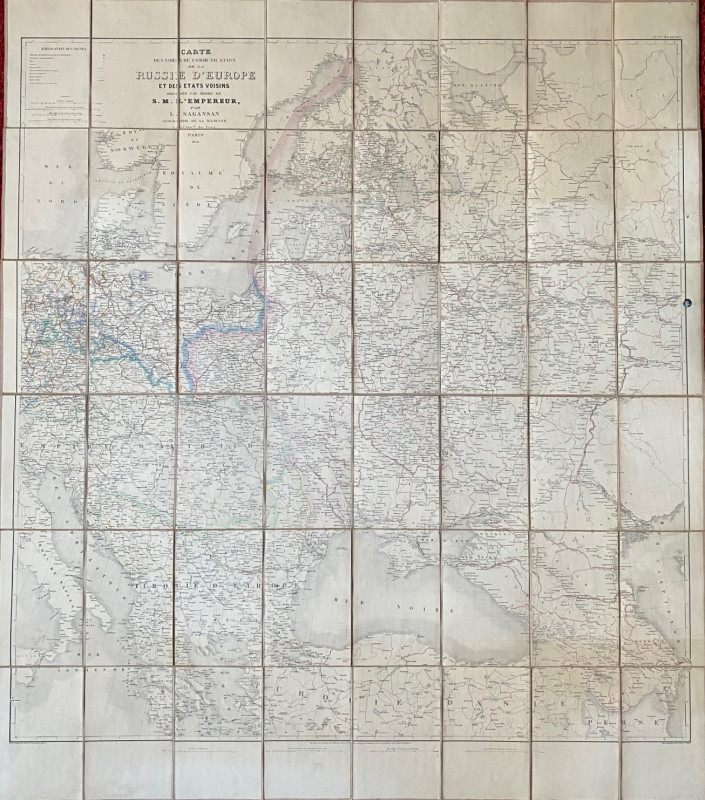
Map of European Russia and neighbouring states 185...
Sagansan
Avril Frėres
£185.00
Offered by Arthur Hook

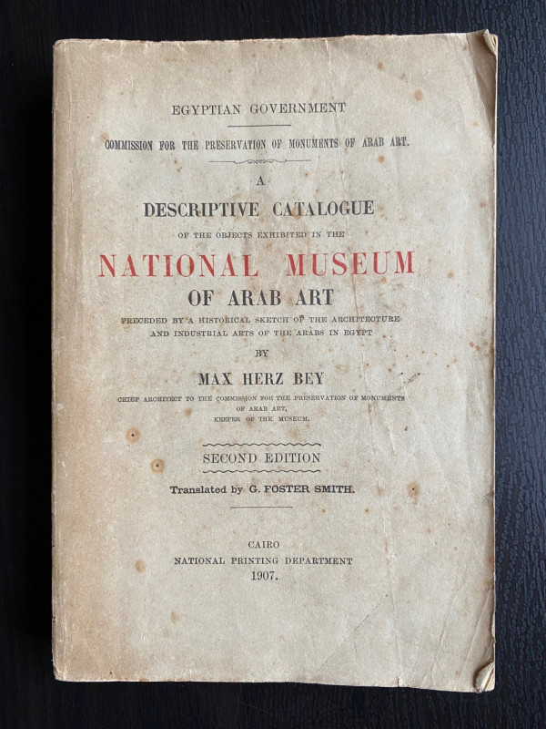
A Descriptive Catalogue of the Objects Exhibited i...
Max Herz
National Printing Department, Cairo
£115.00
Offered by Arthur Hook
Friends of the PBFA
For £10 get free entry to our fairs, updates from the PBFA and more.
Please email info@pbfa.org for more information