Railway Map of France, Germany, Holland, Switzerland and Austria 1878
Book Description
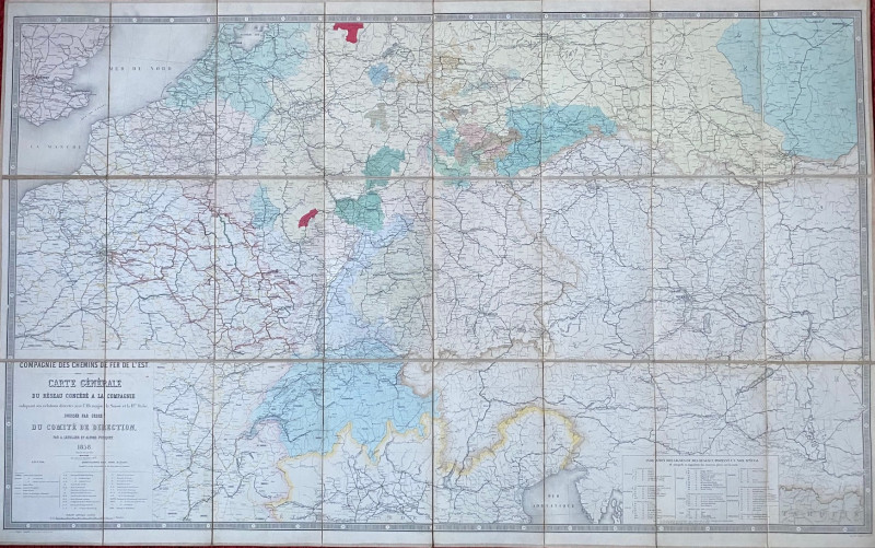
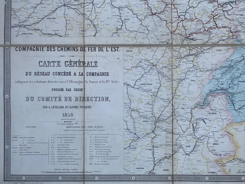
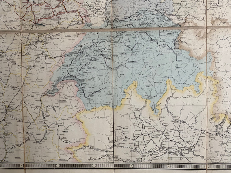
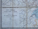
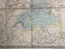
Railway Map of France, Germany, Holland, Switzerland and Austria 1878. Carte Générale du Rèseau des Chemins de Fer de l’Est indiquant ses relations avec l’Allemagne, la Suisse et la Haute Italie, published by the Compagnie des Chemins de Fer de l’Est and drawn and engraved by Letellier and Potiquet, Paris 1858. The updated 1878 edition. On folding linen in 24 sections size 155 by 98 cm. Scale 1:1,000,000. With a colour-coded key to lines open, railways under construction and railways to be approved, to canals and to a variety of frontiers and borders. There is a second more detailed key to the railways of each state: 7 in France; 7 in Belgium; 7 in Switzerland; 10 in Prussia; 6 in Austria; 5 in Saxony; 7 in Bavaria; 11 in the other German states and principalities and 3 in Holland. Some hand colouring. A detailed map of the railway network in an area that encompasses Paris, Berlin and Vienna. VG condition
Author
Letellier and Potiquet
Date
1878
Binding
Folds into stiff boards
Publisher
Compagnie des Chemins de Fer de l’Est
Condition
VG
Other books
If you liked the book you've just seen, you might be interested in other books from the same dealer below.
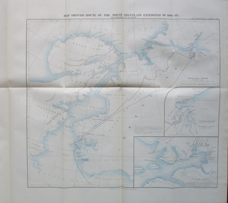
Map Shewing Route of the North Greenland Expeditio...
Peary
Royal Geographical Society
£55.00
Offered by Arthur Hook


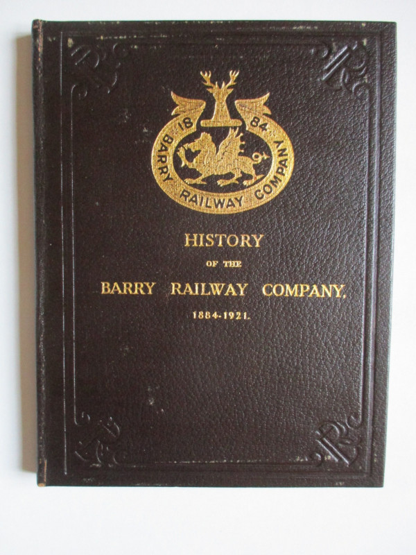
History of the Barry Railway Company 1884-1921
Rimmell
Barry Railway Company
£165.00
Offered by Arthur Hook
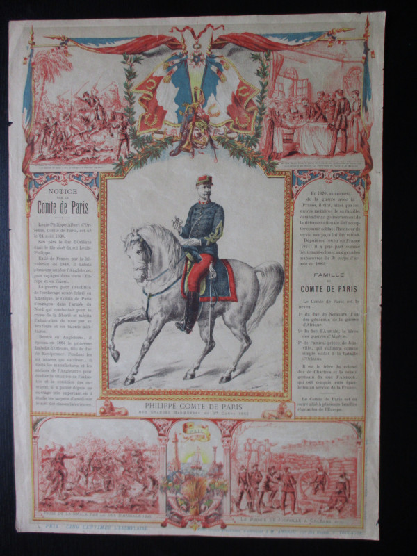
French Royalist Publicity Poster Philippe Comte de...
Philippe Comte de Paris
Thomas and Conferon
£45.00
Offered by Arthur Hook
Friends of the PBFA
For £10 get free entry to our fairs, updates from the PBFA and more.
Please email info@pbfa.org for more information